“In distant times, I worked on the mission planning of SPOT-vegetation and I always regretted not seeing the images acquired following their programming. It was therefore a pleasure and curiosity to join the VITO Remote Sensing team for the acquisition, processing and diffusion of PROBA-V images.
My first ‘wow’ was, from the entrance hall, the impressive data center nearby, with its computer racks and even its gas cylinders to extinguish fires. The best thing was to find a close-knit and very efficient team, passionate about the subject, with high-level scientific experts and experienced computer scientists who managed to collaborate together. The result is a feeling of pleasure at work and usefulness of work. I can testify that the processing chain is made up of modules that are often complex mathematically (even for a physicist), such as calibrations, radiometric and geometric corrections.
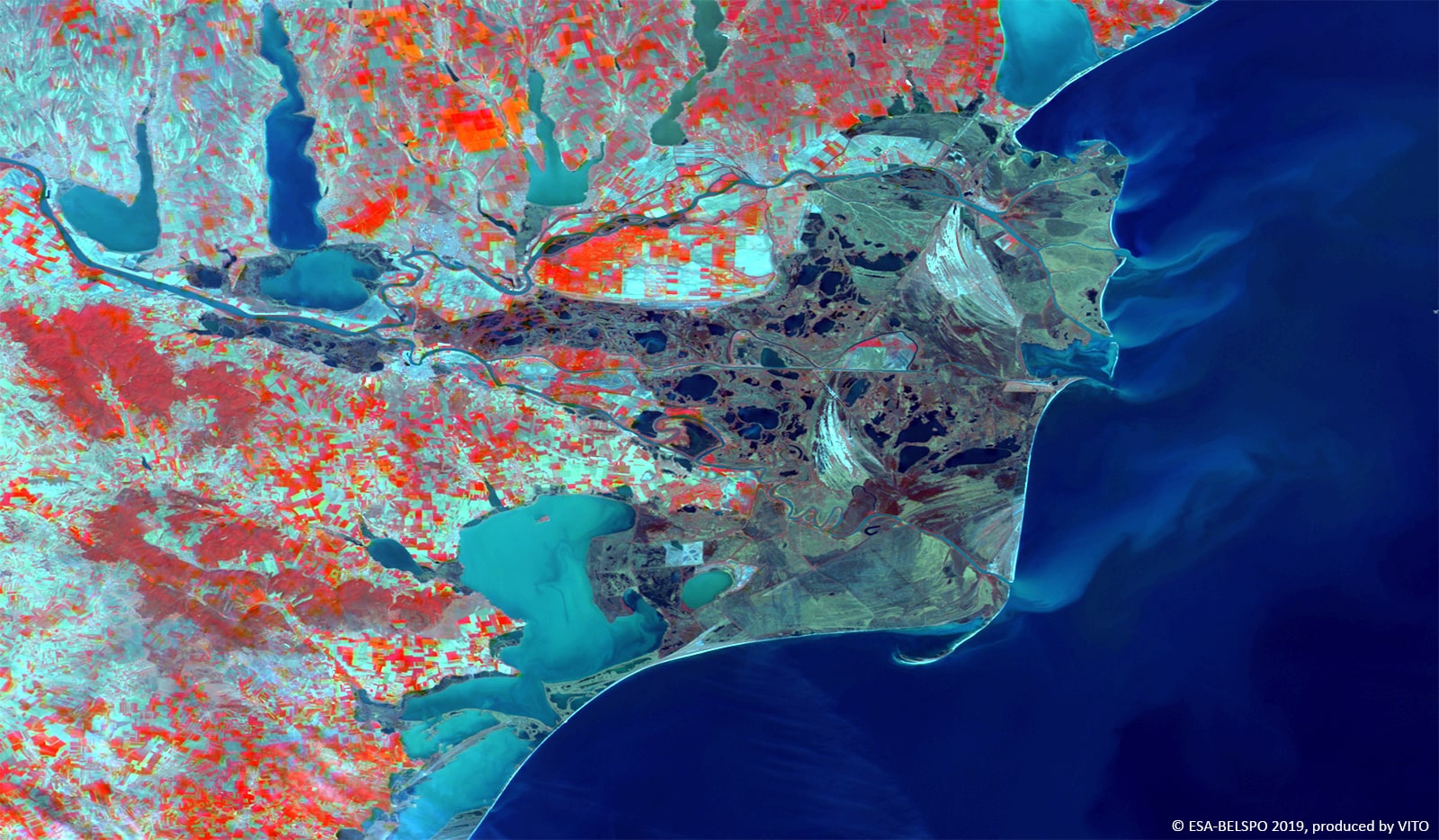
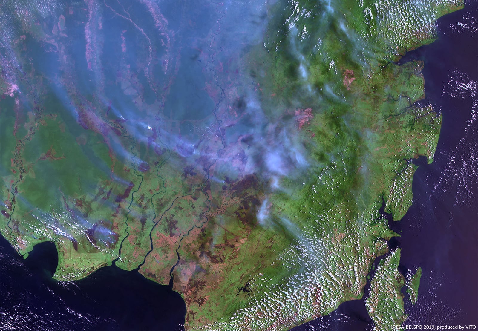
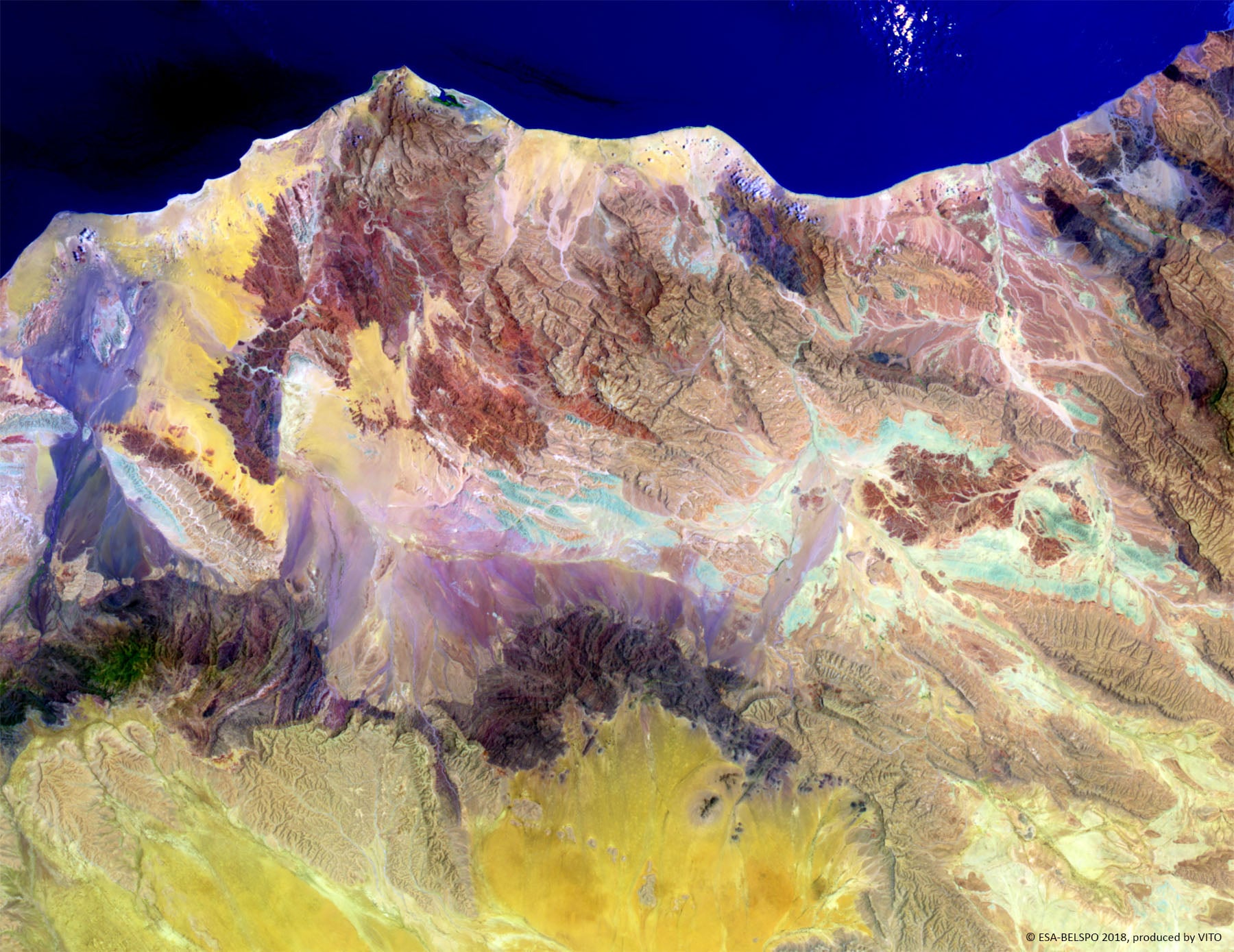
The end products are superb, and used daily all over the world, especially the “S” (synthesis) products showing reconstructed images of the Earth as a whole. Going to space agencies and to the premises of Space companies, we often find these images, next to ‘The Blue Marble’ or other posters, and then I am proud to have brought a small brick to the project.”


