MultiTemp 2017: prepare to meet in Bruges

By Bart Deronde 01 March 2017
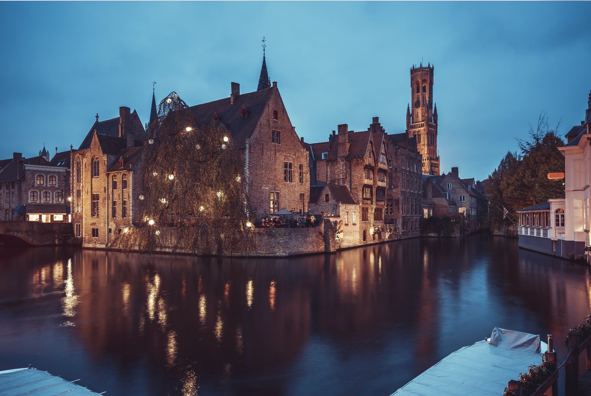
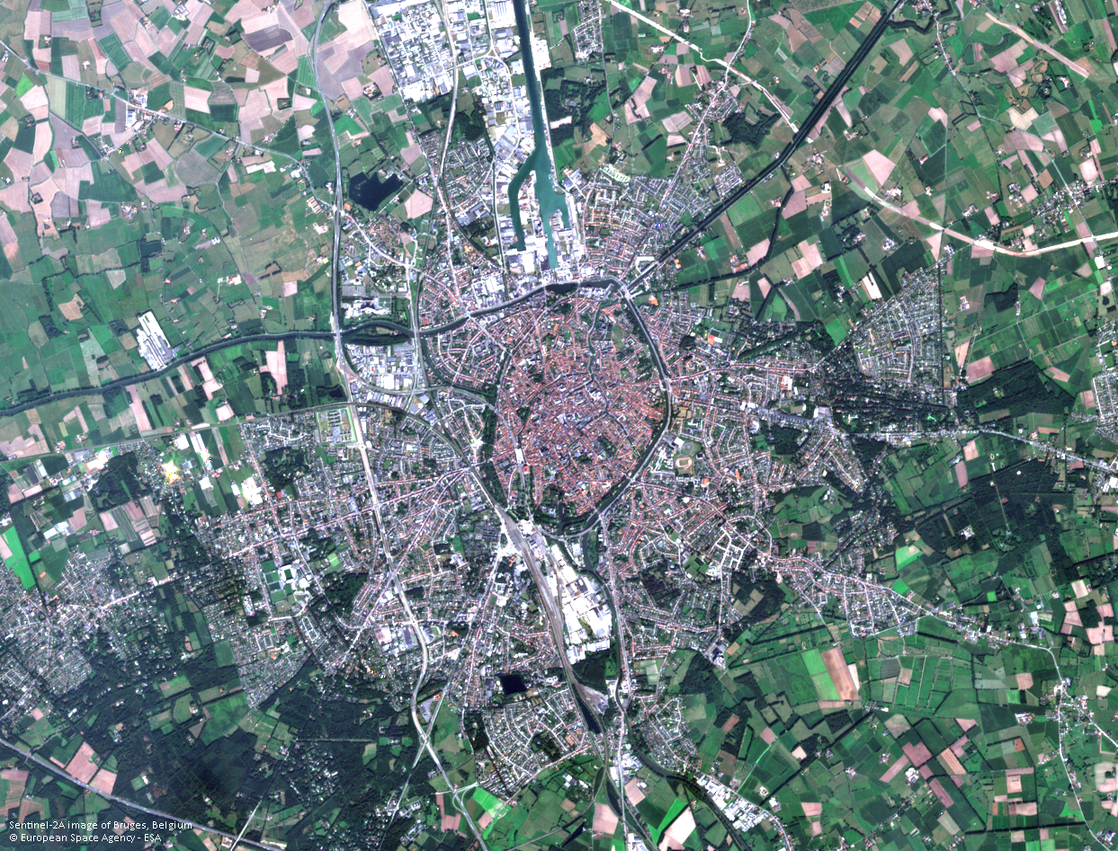
It’s time for the bi-annual MultiTemp conference. We will be gathering for the 9th edition in Bruges, Belgium, from the 27th to the 29th of June this year. The conference aims to advance knowledge on the use of the EO time series to address a wide range of applications. MultiTemp 2017 will examine methodological improvements within different application fields and how they facilitate the cross-fertilization of different approaches.

Evolutions in the use of the EO time series to address a wide range of applications

Founded in 2001, scientific time series analysis has evolved from change-detection methods to signal-processing methods, and from single-sensor approaches to multi-sensor synergy and fusion methods. This edition of MultiTemp will focus on applications of the methods, discussing how different methodologies help deliver better information.

Be part of the programme: submit your abstract before 10 March

Submit your abstract before 10 March for the opportunity to be part of the MultiTemp 2017 programme.

We welcome scientists, students, representatives from national, European and international agencies, operational end-users and value-adding industry members to join the discussion. The MultiTemp 2017 website is open for Early Bird registrations until 27 April and regular registrations until 2 June.

The Belgian Science Policy Office (BELSPO), VITO Remote Sensing and the members of the steering committee look forward to seeing you in Bruges.

MultiTemp 2017 is sponsored by ESA, Google, OIP and the city of Bruges. For more information, please visit multitemp2017.vito.be or download the flyer.
Multitemp 2017 prepare to meet in Bruges
Like this article? Share it on
Bart Deronde
An article by
Bart Deronde
Head of Applications
More info about Bart Deronde
Share

Related posts

Leveraging satellite data and AI for environmental policy support
  • Remote Sensing ,
  • Satellite ,
  • deep learning ,
  • AI ,
  • water quality monitoring ,
  • Flanders

Leveraging satellite data and AI for environmental policy support

By Lisa Landuyt 22.10.2024

The Copernicus Sentinel satellites monitor the Earth’s surface with high spatial and temporal resolution. The images are openly available, but translating..

Lees meer
New CropSAR service provides Cloud-Free Time Series at Pixel Level
  • Time series ,
  • Sentinel-2 ,
  • Sentinel-1 ,
  • CropSAR

New CropSAR service provides Cloud-Free Time Series at Pixel Level

By Kristof Van Tricht 16.10.2023
In 2019 we released CropSAR, a service that combines both optical data from Sentinel-2 and radar data from Sentinel-1 to be able to look through the..
Lees meer
Safeguarding the access to the Port of Antwerp using GIS
  • Remote Sensing ,
  • dredging ,
  • GIS ,
  • Port of Antwerp

Safeguarding the access to the Port of Antwerp using GIS

By Bart Deronde 17.02.2020

The Port of Antwerp is a major economic player in Belgium housing ca 900 companies, among which the biggest and most diverse chemical cluster in Europe...

Lees meer