Our knowledge in full spectrum
/Blog%20Post%20Strip%20Cropping%20-%20Featured%20Image%201200x650%20150%20ppi.png)
Empowering Breeding for Strip Cropping With Drone-Based Insights
09.02.2026In the quest for sustainable agriculture, innovative approaches are essential to optimize crop performance and enhance biodiversity. One such approach is..
Read more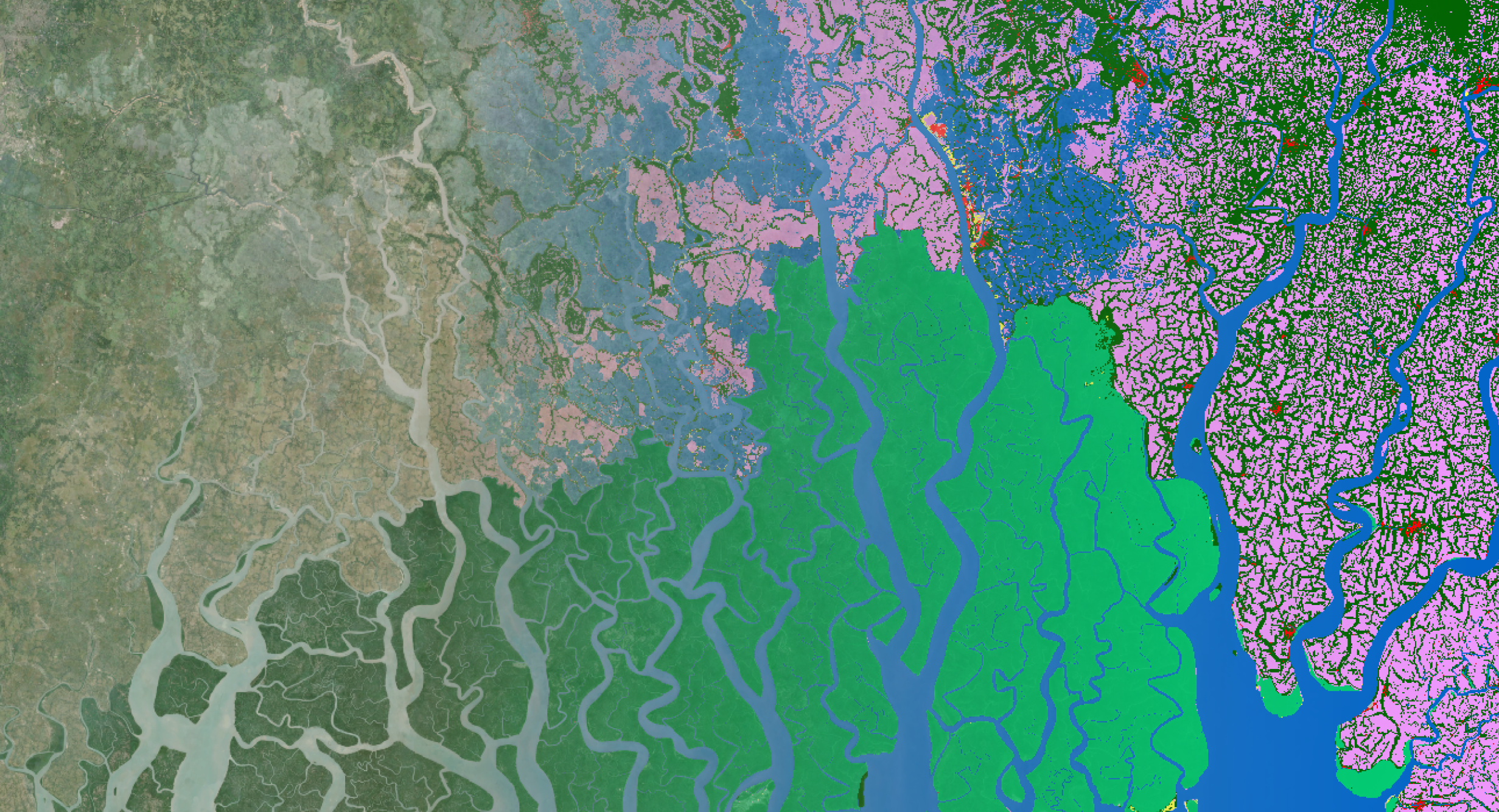
/Blog_CORSA_1200x650.png)
/Blog_WorldCereal_1200x650.png)
/lewis-latham-0huRqQjz81A-unsplash.jpg)

/boudewijn-huysmans-_iyh6g5KHQA-unsplash.jpg)
New perspectives in your mailbox
Subscribe to our newsletter.
/background_image_blog.jpg)
/CalibrEO%20Service%20Header.jpg)
/Land%20use%20model%20+%20green%20city.png)