All posts for
Sentinel

AI4FOOD FuseTS: a toolbox for Sentinel Data Fusion and Analytics
  • Sentinel,
  • AI,
  • AI4FOOD,
  • FuseTS,
  • data fusion

AI4FOOD FuseTS: a toolbox for Sentinel Data Fusion and Analytics

By Bram Janssen 27.03.2024

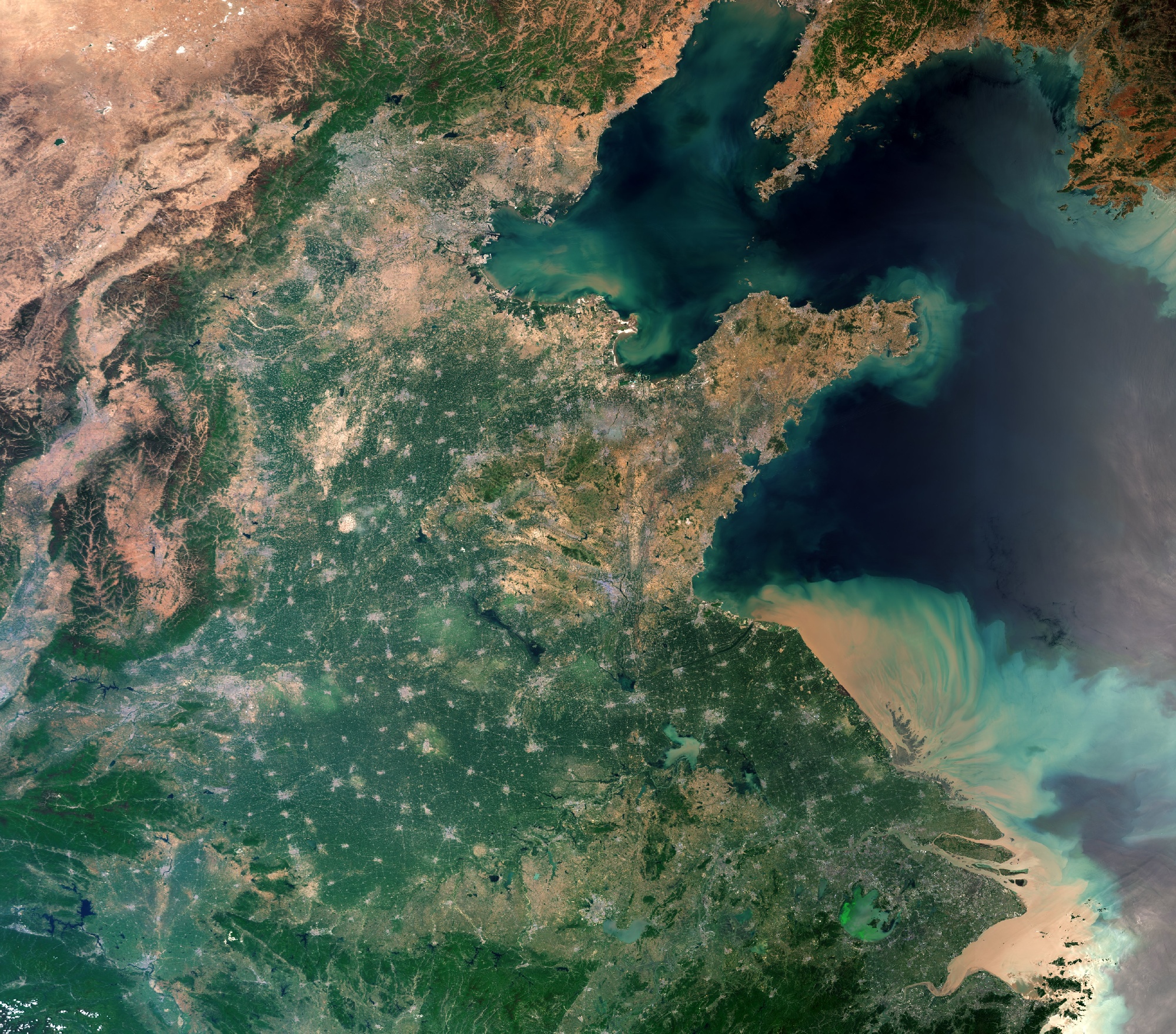
Satellites gather an extensive amount of Earth Observation (EO) data. Despite this data's availability, there are still challenges in extracting relevant..

Read more
Towards mapping land degradation at high resolution
  • Sentinel,
  • land cover,
  • worldcover,
  • SEN4LDN,
  • land degradation

Towards mapping land degradation at high resolution

By Ruben Van De Kerchove 21.02.2024

Land degradation affects the livelihoods of millions of people worldwide. Diminished overall productivity and reduced resilience in the face of climate..

Read more
EXPLORE-VN: water quality information for Vietnam's inland & coastal waters
  • Copernicus,
  • Sentinel,
  • water quality monitoring,
  • EOData

EXPLORE-VN: water quality information for Vietnam's inland & coastal waters

By Ils Reusen 07.11.2023

In an ever-changing environment where the consequences of climate change are increasing significantly, the use of Copernicus satellite data becomes even..

Read more
Towards EU forest structure maps! First results over Flanders
  • Sentinel,
  • Forest monitoring,
  • ForestPaths,
  • Forest Structure Mapping,
  • GEDI

Towards EU forest structure maps! First results over Flanders

By Wanda De Keersmaecker 23.10.2023

Forests play a crucial role to meet the EU's ambitious goals to reduce emissions by 2030 and become climate neutral by 2050, but they are also threatened..

Read more
WorldCover taking it to the next level
  • Biodiversity,
  • Sentinel,
  • land cover,
  • global land cover,
  • worldcover

WorldCover taking it to the next level

By Ruben Van De Kerchove 28.10.2022
One year after the release of the WorldCover 2020 map, i.e. the first global land cover product at 10 m resolution based on both Sentinel-1 and Sentinel-2..
Read more
A new collaboration platform for EO data and services
  • Sentinel,
  • Terrascope,
  • EO services

A new collaboration platform for EO data and services

By Hande Erdem 23.05.2022
In a world filled with Earth observation data and innovative image processing technology, we are privileged to access and offer EO-based services which..
Read more
Release of the 10 m WorldCover map
  • Land use,
  • Biodiversity,
  • Sentinel,
  • global land cover,
  • worldcover

Release of the 10 m WorldCover map

By Ruben Van De Kerchove 20.10.2021
In 2019 we kicked-off ESA’s WorldCover project. An ambitious project set up to develop a new global land cover map at 10 m resolution to provide valuable..
Read more
Towards a global land cover map at 10 m resolution
  • Land use,
  • Agriculture,
  • Biodiversity,
  • Sentinel,
  • global land cover,
  • worldcover

Towards a global land cover map at 10 m resolution

By Ruben Van De Kerchove 22.04.2021
The goal of ESA’s WorldCover project was clear! Develop a new global land cover map at 10 m resolution in less than 2 years to provide valuable..
Read more
Supporting land and infrastructure management with CropSAR
  • Land use,
  • Infrastructure,
  • Sentinel,
  • Terrascope,
  • CropSAR

Supporting land and infrastructure management with CropSAR

By Jan Biesemans 16.03.2021

The Sentinel-1 and Sentinel-2 satellites continuously provide new high-quality Earth observation (EO) data. This means that for Flanders we can access new..

Read more
CAPSAT, quantifying yields with combined Sentinel data!
  • Agriculture,
  • Sentinel,
  • AI,
  • CropSAR,
  • CAPSAT

CAPSAT, quantifying yields with combined Sentinel data!

By Jan Biesemans 08.10.2020

Europe has the ambitious objective to become a sustainable region by 2030. Circular Economy, Farm to Fork, Zero Pollution, Natural Capital, a modernized..

Read more
Stop downloading satellite data! Use a Virtual Machine instead
  • Image Processing,
  • PROBA-V,
  • Sentinel,
  • Terrascope,
  • Virtual Machine

Stop downloading satellite data! Use a Virtual Machine instead

By Jurgen Everaerts 16.09.2019

Thanks to Copernicus, the European Union’s Earth Observation programme, we have full, free and open access to massive amounts of data. But how do we use..

Read more
Atmospheric correction software for Sentinel-3
  • atmospheric correction,
  • Sentinel,
  • iCOR

Atmospheric correction software for Sentinel-3

By Sindy Sterckx 11.02.2019

After releasing iCOR for the atmospheric correction of Sentinel-2 and Landsat-8 data, the iCOR software is now also available for atmospheric correction..

Read more
Sentinel-2 to support dredging activities
  • Water & coast,
  • dredging,
  • Sentinel,
  • Terrascope

Sentinel-2 to support dredging activities

By Robrecht Moelans 09.10.2018

The goal of the European Commission Copernicus program is to offer free and open data about our environment. For example, Sentinel-2 covers our entire..

Read more
Terrascope hits the road!
  • Image Distribution,
  • EO Data,
  • Copernicus,
  • Sentinel,
  • Terrascope

Terrascope hits the road!

By Dennis Clarijs 03.10.2018

Making Earth observation data freely accessible and usable. That is still our main goal with Terrascope, the online platform for user-friendly ..

Read more
A Sentinel shake for early crop mapping
  • Agriculture,
  • Multitemporal image analysis,
  • Sentinel,
  • food security,
  • deep learning,
  • radar,
  • optical

A Sentinel shake for early crop mapping

By Kristof Van Tricht 17.07.2018

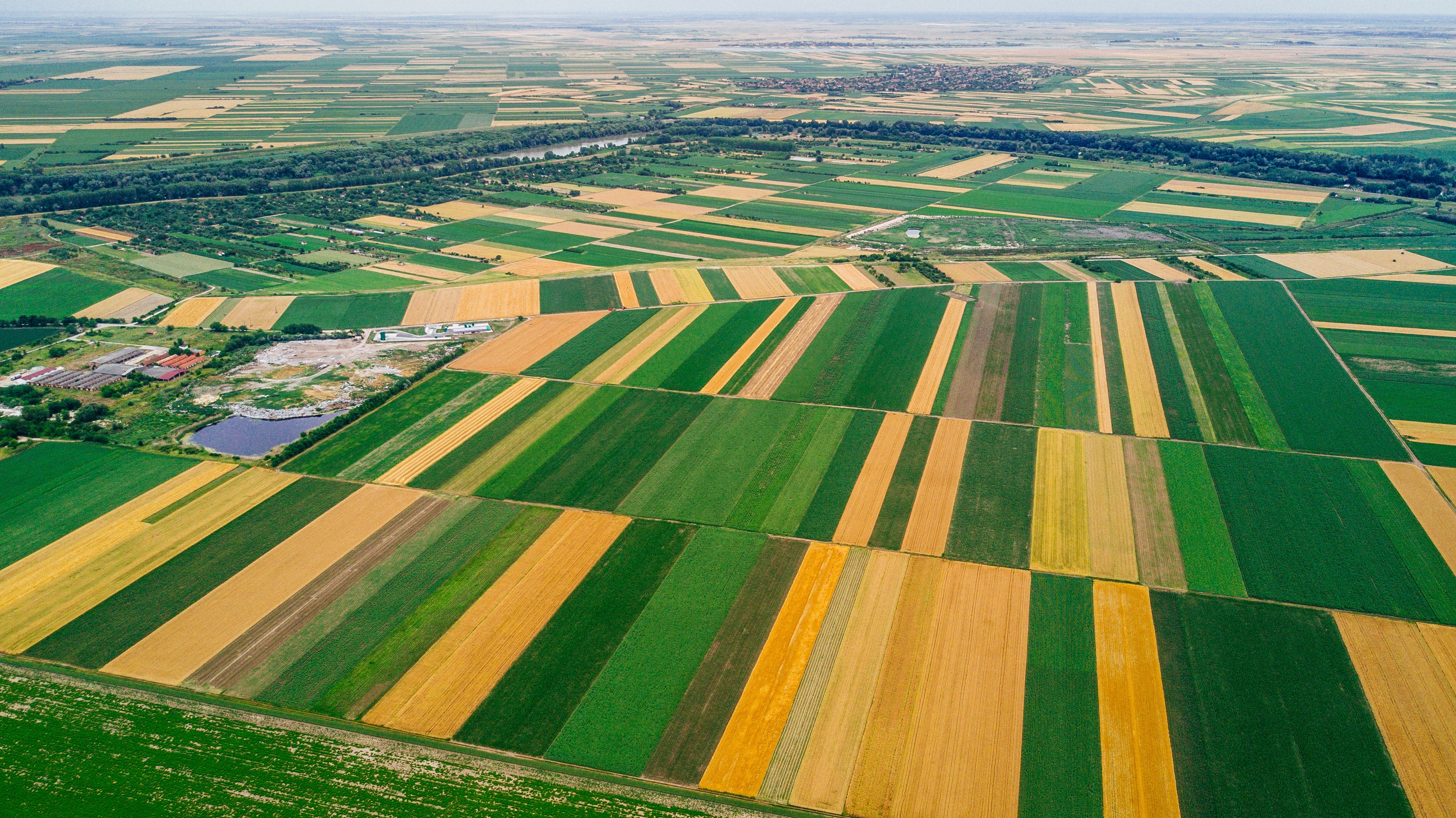
The growing world population and its related ever-growing food demand requires a close monitoring of the agricultural landscape and timely estimates of..

Read more
Full, free and open data access! But then what?
  • Data harmonisation,
  • Image Processing,
  • EO Data,
  • Sentinel

Full, free and open data access! But then what?

By Jurgen Everaerts 19.04.2018

In April 2014 Sentinel-1 was launched, as the first of a fleet of European satellites developed to deliver Earth observation data for the Copernicus..

Read more
Going the extra mile for Sentinel data
  • Image Distribution,
  • EO Data,
  • Copernicus,
  • Sentinel,
  • Terrascope

Going the extra mile for Sentinel data

By Dennis Clarijs 24.10.2017

To maximize the usability and uptake of Copernicus satellite data, ESA is setting up partnerships or collaborative ground segments in its member states...

Read more
Copernicus to maximize the benefit of EO data
  • EO Data,
  • Copernicus,
  • Sentinel

Copernicus to maximize the benefit of EO data

By Ils Reusen 06.06.2017
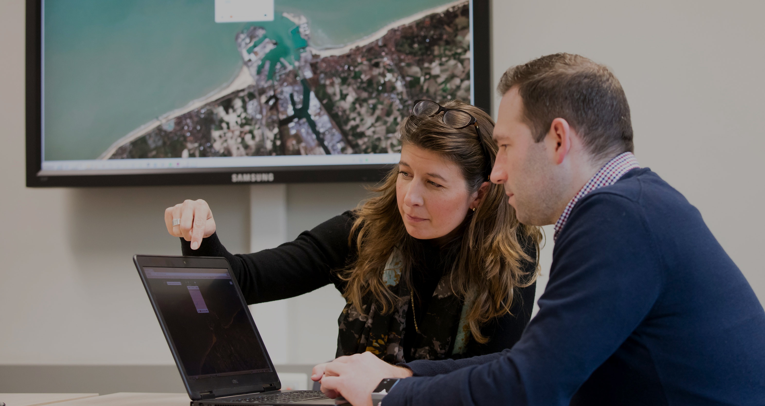
Massive amounts of Earth observation data are generated by the Sentinel satellites. But how can you get access and retrieve valuable information? The..
Read more