Imagine all the data coming together
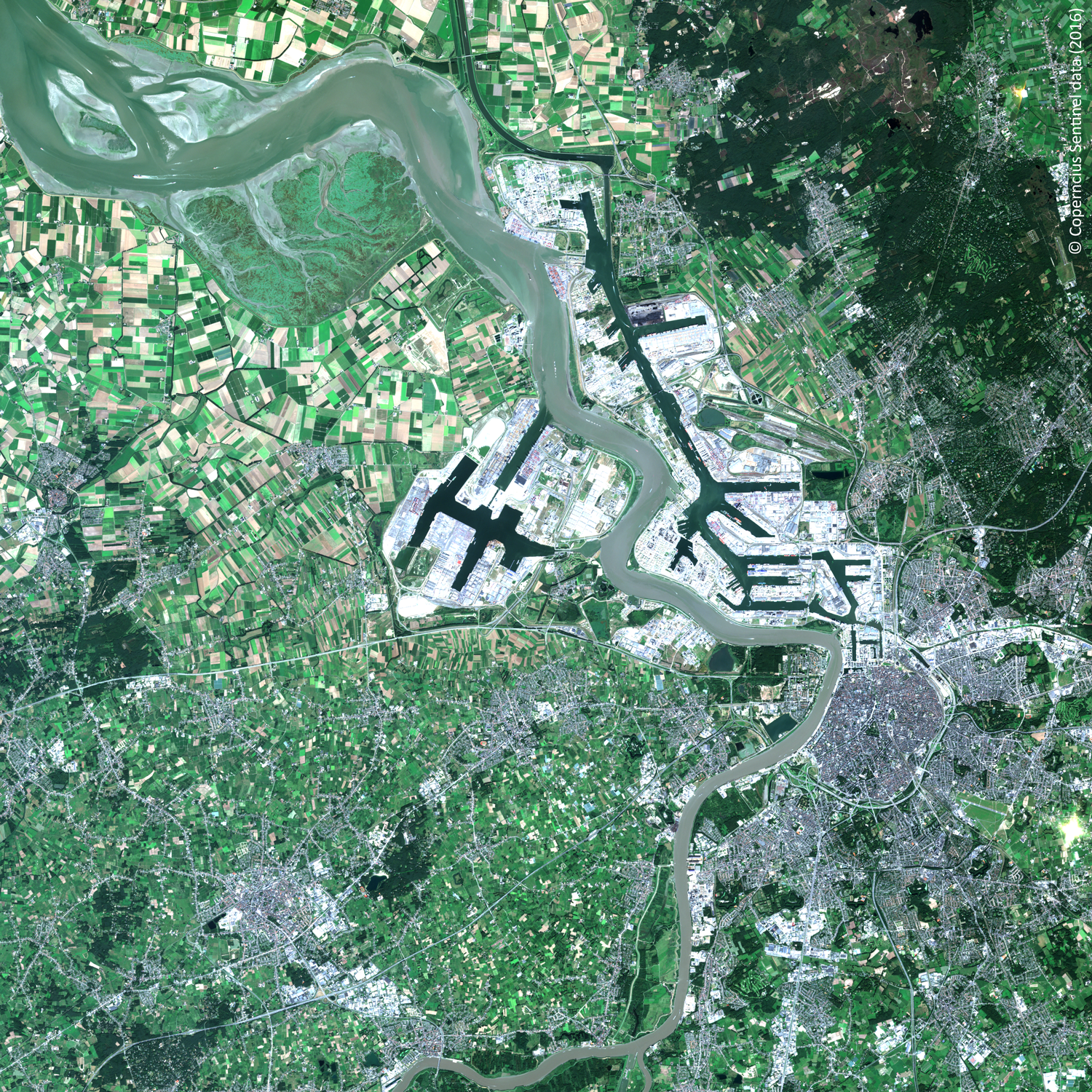
The Sentinel satellites observe the Earth in detail with an impressive repeat rate. With the setup of Terrascope, ESA’s Collaborative Ground Segment in Belgium, we want to bring all this EO data to Belgian authorities, researchers, industry and even our citizens in an easy way. Because Earth observation data can be used in more ways than you would imagine.
Today, 19 April 2018, we are excited to launch Terraviewer, a first step in offering access and use for Sentinel, PROBA-V and SPOT-VEGETATION data.
- satellite data
- ready to use information products
- end-to-end image processing services
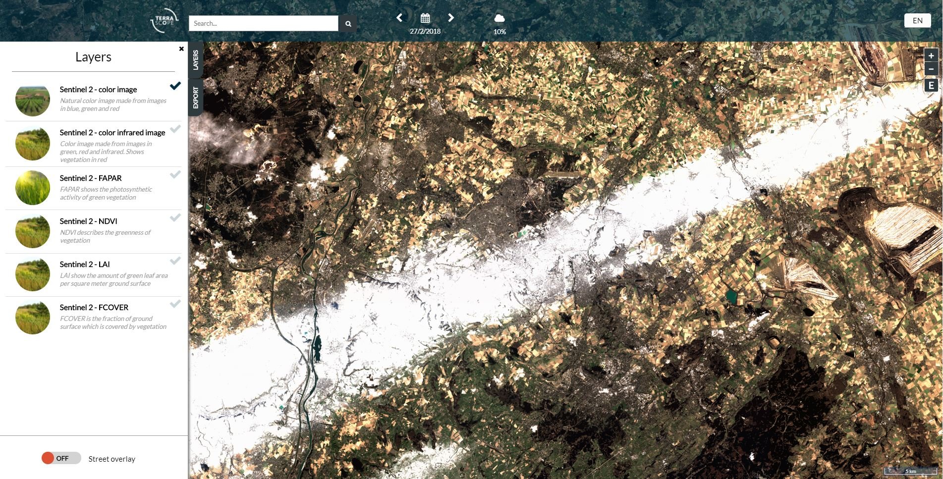
Discover Terraviewer and browse through the Sentinel-2 images of Belgium made since July 2015. To avoid looking at too many clouds, the platform indicates which images are the most cloud-free and useful. You can select:
- Natural color image
- Color infrared image, where vegetation shows in red
- FAPAR which shows the photosynthetic activity of green vegetation
- NDVI which describes the greenness of vegetation
- LAI which show the amount of green leaf area per square meter ground surface
- FCOVER which is the fraction of ground surface which is covered by vegetation
Have a look at the image of 27 February 2018, where a white band is visible to the north of Liège. You might think it is a cloud, but in fact it is snow on the ground, which originated from the industry in the Ruhr area in Germany and was blown to Belgium by a cold North-Easterly wind.
Sentinel data, a spectrum of information
Terraviewer is just the tip of the ice berg. Sentinel satellites produce so much more data. In fact, Sentinel-2 makes images in 13 different colors, in the visual and infrared spectrum. Some of these are used to calculate the FAPAR and other indices, but so much more is possible. Environmental monitoring, agricultural management or urban development are just a couple of the applications that can benefit by using Earth observation data.
For now, all that data is available for you to download. Terabytes of it, and growing by many Gigabytes every day. So, download is not a serious option for most of us.
Terrascope will extract the relevant information from the data, and offer experts a way to upload their algorithms and process the data on the Terrascope platform, and then download just the results. By taking it one step further, we can fully use the information that can be retrieved from Earth-observation data combined. So there’s more to come in the next release.
To serve you, you and you!
Next to Sentinel-2, you can also download Sentinel-1 data. This satellite uses RADAR technology to observe the Earth. One of the beautiful aspects of working with RADAR data is you can look straight through clouds and work day and night. This is extremely interesting for risk analysis, crisis monitoring, etc.
Visit the platform to get a first insight of what space can bring to you. In the summer we’ll have a second release with new and improved features. You’ll be able to:
- Upload your algorithm instead of downloading data
- Save money by on storage by processing the data on our data centre
- Reduce processing cost and effort by downloading only the results
- Contact our operational and scientific helpdesk to assist you when necessary
- Request a training to get you started
Terraviewer showing a Sentinel 2 - NDVI (greeness of the vegetation) image of Brussels
February 22 2018. Discover more on https://viewer.terrascope.be/terrascope/


/Blog_CORSA_1200x650.png)
/lewis-latham-0huRqQjz81A-unsplash.jpg)
