With the ever-growing volume and variety of Earth Observation (EO) data, processing these datasets into valuable insights about our planet can present..
After releasing the iCOR plug-in for Sentinel-3 Ocean and Land Colour Imager (iCOR4S3) in 2019, a thorough validation was performed using among others the..
While more and more platforms to process EO data become available, it is getting increasingly hard to choose which platform is best suited to process your..
Thanks to Copernicus, the European Union’s Earth Observation programme, we have full, free and open access to massive amounts of data. But how do we use..
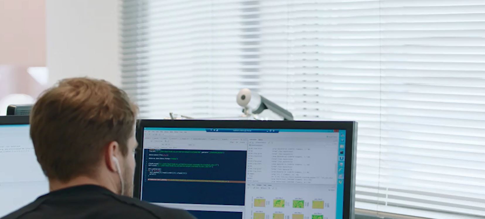
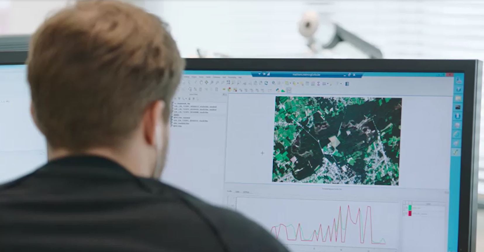
Hi, I’m Bram, 28 years and passionate about IT, developing online platforms and discovering new technologies nonstop. It's not always easy to explain my..
The WHISPERS conferences promote hyperspectral image processing to solve remote sensing challenges. This aligns very well with the "full value chain”..
When you look at a satellite image, you are not thinking about reflectance, solar radiation or any other atmospheric disturbance, and you shouldn’t need..
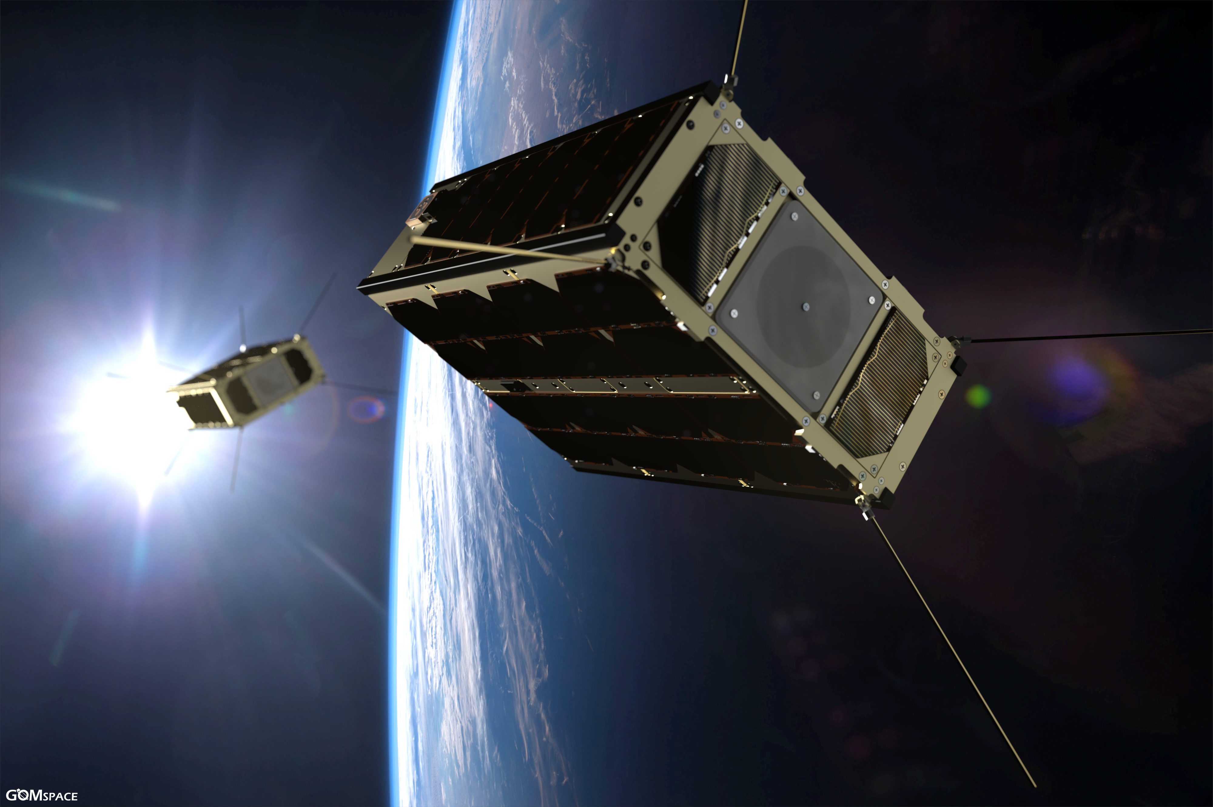
CubeSats, standardized spacecraft platforms which consist of a number of cubes of 10x10x10 cm3, provide practical, reliable, and cost‐effective launch..
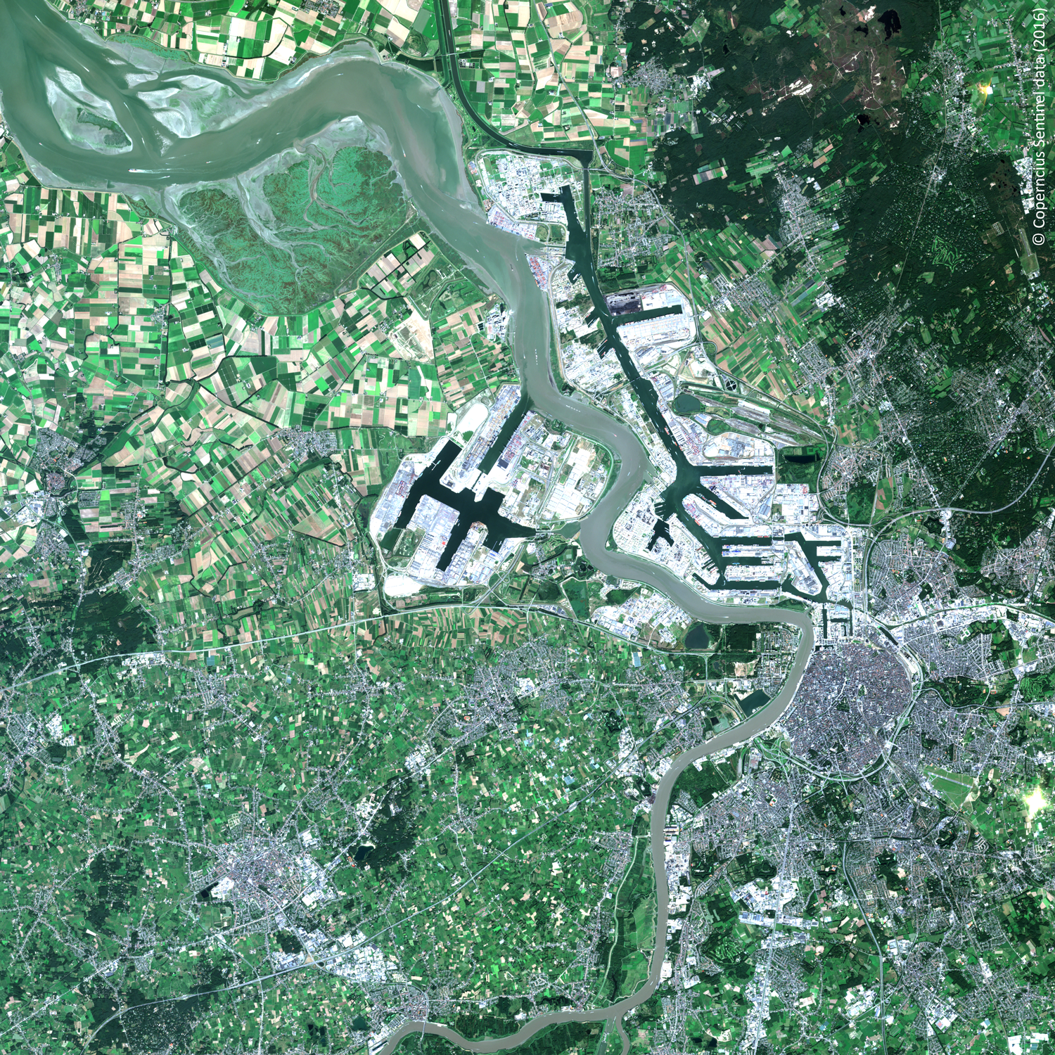
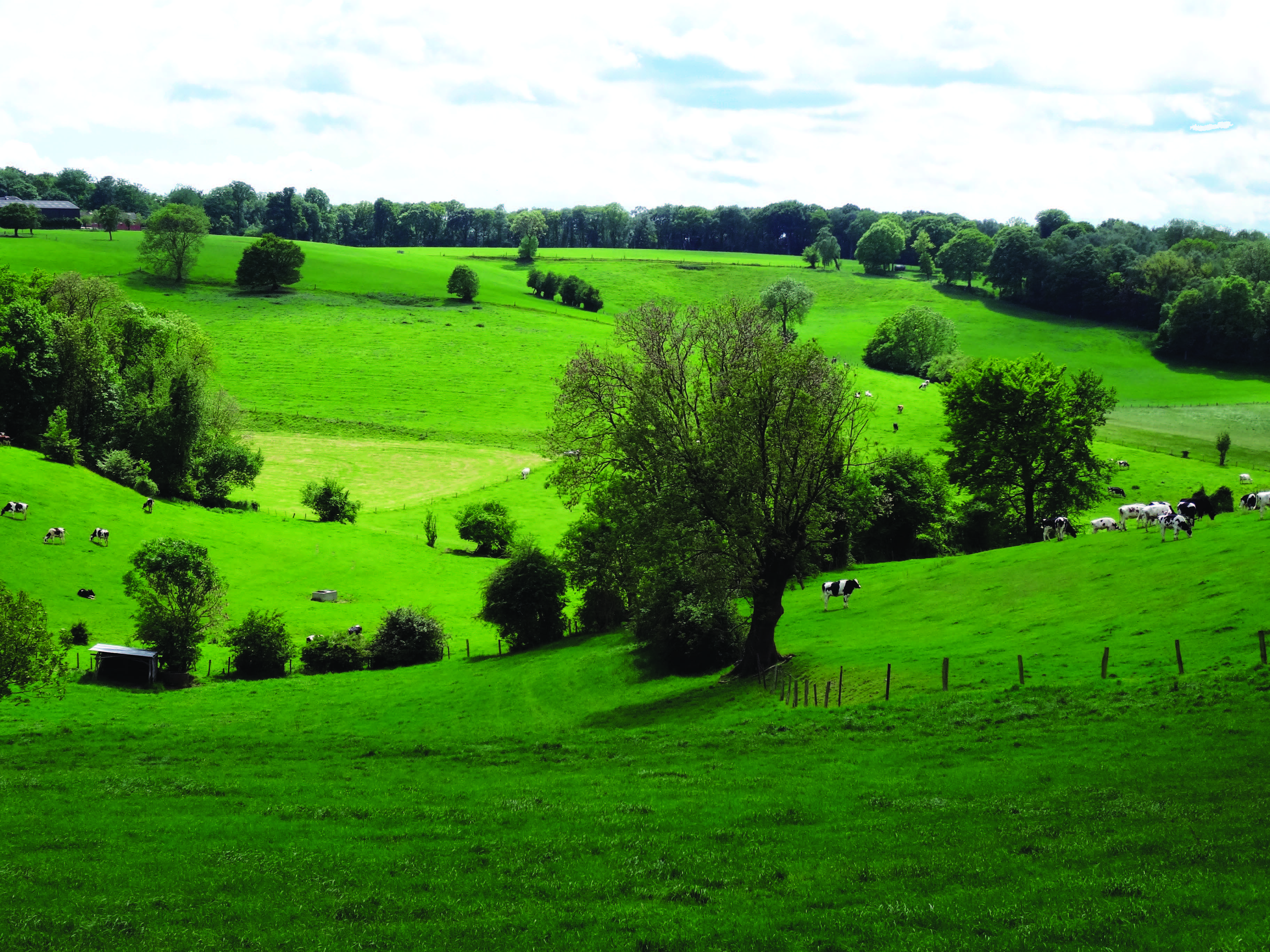
Landscapes evolve and the drivers behind the changes relate socio-economic activities to their bio-physical environment. Regions that have international..
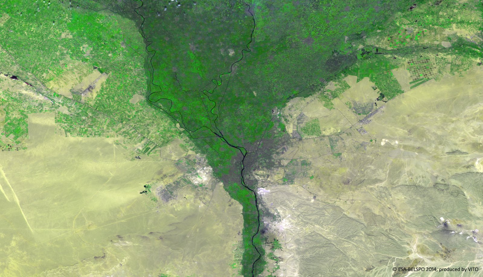
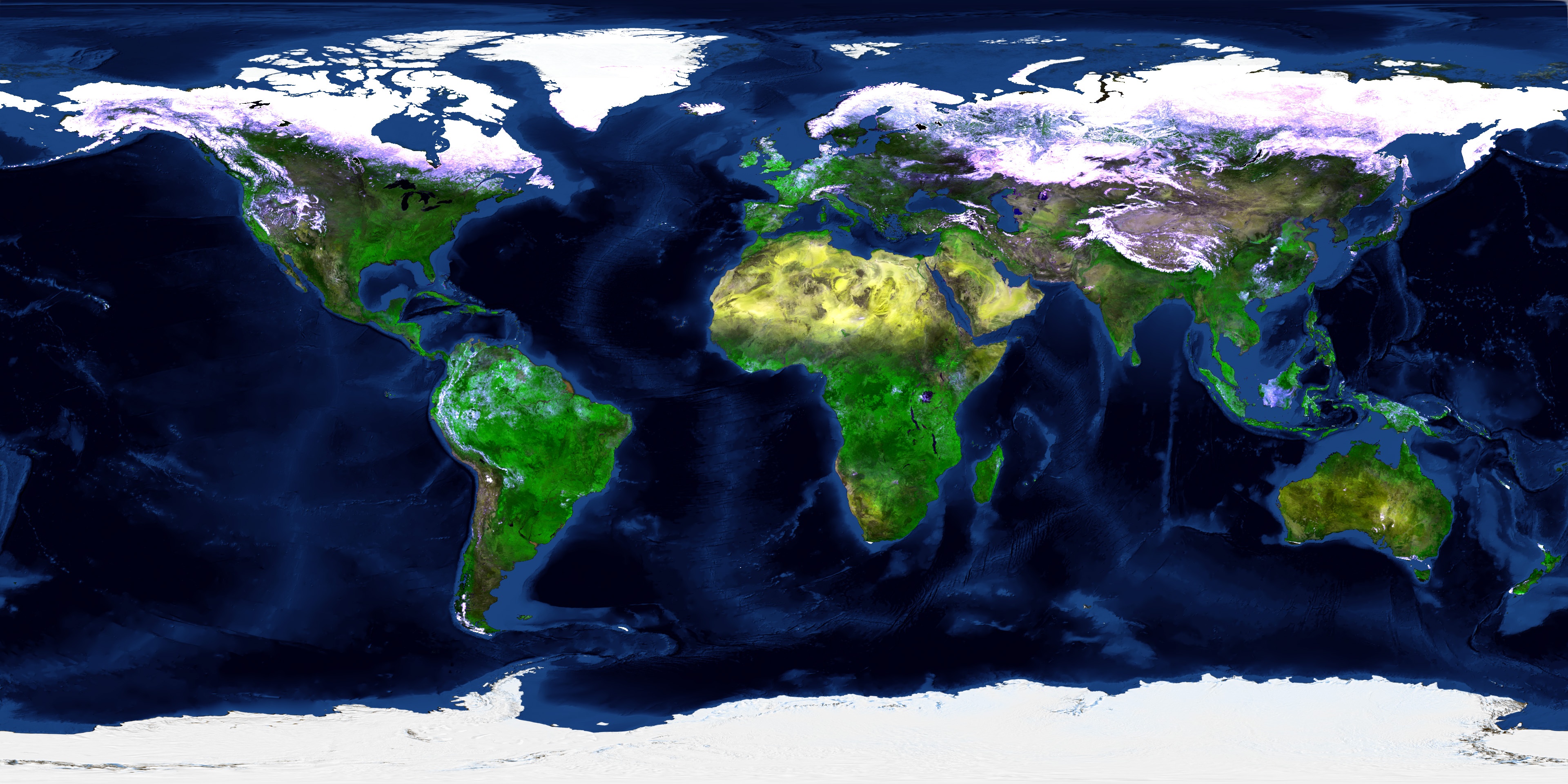
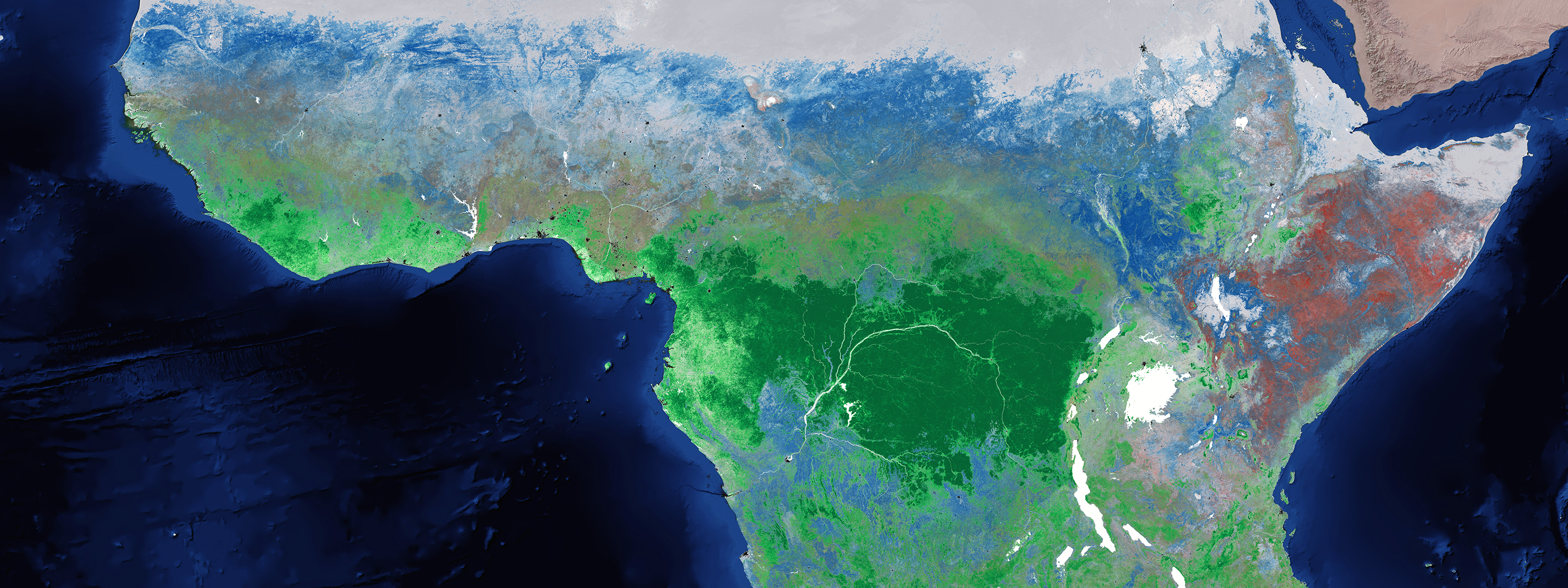
Static land cover maps are often hard to use in different applications. But with a wide range of user groups, we need more elastic land cover mapping..
Imagine a field, where 10000 variaties are growing in tighly, regularly spaced plots. Welcome to the daily live of plant breeders. Plant breeders observe,..
Drones pop up everywhere. Even in the world of wind turbine inspection. But to set up an automated inspection process however, we need more than a flying..
ESA’s miniature satellite PROBA-V may only be as large as your average dishwasher, its potential in Earth Observation is inversely proportional. Providing..


.jpg)
.png)