On-demand image processing made easy

By Dirk Daems 12 September 2017

Earth observation missions produce huge quantities of data. But getting the right information at the right time is still often a challenge. Try the N-daily compositor service of the PROBA-V Mission Exploitation Platform (MEP) and see how you can receive just the information of the area of your interest for a specific time frame automatically.

PROBA-V MEP, a toolbox of processing services 

The PROBA-V Mission Exploitation Platform (MEP) offers several on-demand processing workflows to create and deliver customised products. We’ve already introduced you to The Notebooks app in one of our previous blogs, so let me now show you the N-daily compositor

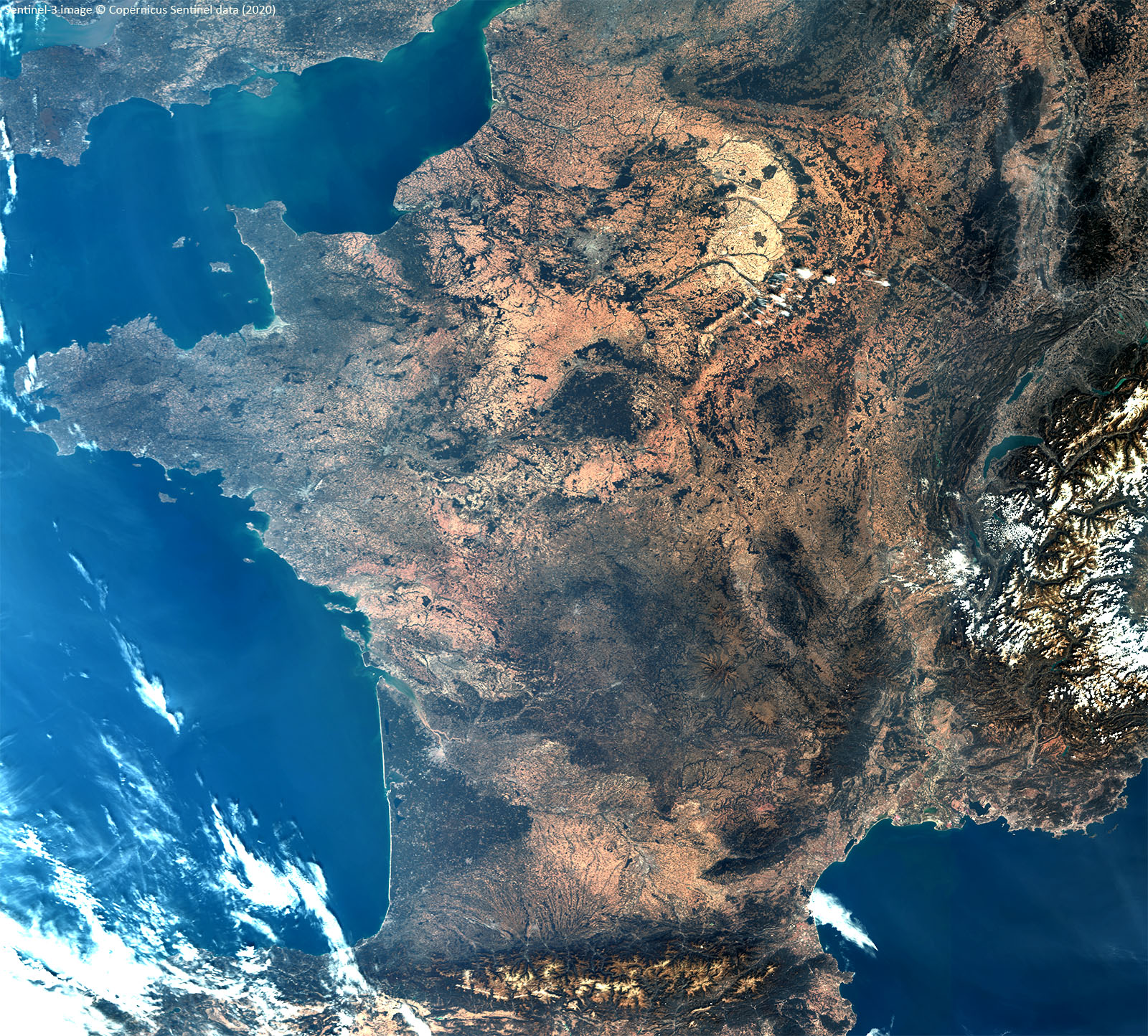
Due to cloud cover, many places cannot be imaged every time a satellite passes over. A composite uses a sequence of images, and selects the best pixel from this series to generate a cloud free image. The N-daily compositor service lets you select the number of days to use for an area of your interest automatically, e.g. you can receive a 7-daily composite of PROBA-V data of Europe every Monday morning: get exactly what you need when you need it. 

The service accesses the full PROBA-V data archive (1 km, 300 m and 100 m) and can be used via the Web client or via RESTful Web services for seamless integration into your application. You can even view the results at full-resolution before downloading via the online Geoviewer. Check out the online manual for more information. 

MEP.N.daily_pod.viewer.png
View your results in full resolution before downloading.


Request a virtual machine

On-demand processing is only one aspect of the PROBA-V MEP. If you want to dig deeper, you might also be interested in using our Virtual Research Environment

A user Virtual Machine (VM) offers you:
  • Access to the complete PROBA-V data archive, as well as SPOT-VEGETATION and Vegetation parameters from the Copernicus Global Land Service.
  • A powerful and expandible set of tools and libraries (e.g. SNAP toolbox, GRASS GIS, QGIS)
  • The possibility to develop and debug test applications (R, Python or Java)
So, you can start working with the data or develop and execute applications on the data, without having to download the data. 
Request a VM free of charge or get more info via the online form

Never stop improving

If you have remarks on the N-daily compositor or need other on-demand generated products, don’t hesitate to contact us via the Helpdesk.
Like this article? Share it on
Dirk Daems
An article by
Dirk Daems
IT Architect
More info about Dirk Daems
Share

Related posts

Validation of iCOR for Sentinel-3 over land surfaces and new SNAP plug-ins
  • Image Processing ,
  • atmospheric correction ,
  • iCOR ,
  • Sentinel-3 ,
  • SNAP

Validation of iCOR for Sentinel-3 over land surfaces and new SNAP plug-ins

By Erwin Wolters 10.05.2021

After releasing the iCOR plug-in for Sentinel-3 Ocean and Land Colour Imager (iCOR4S3) in 2019, a thorough validation was performed using among others the..

Lees meer
Automated Service Builder on Proba-V MEP
  • PROBA-V ,
  • MEP

Automated Service Builder on Proba-V MEP

By Jeroen Dries 18.12.2020

For the last 1.5 years, we have been working on a proof of concept to simplify running your algorithms on our 100+ node cluster, and more easily share..

Lees meer
Annual 100 m land cover maps on a global scale!
  • Land use ,
  • PROBA-V ,
  • Copernicus ,
  • vegetation

Annual 100 m land cover maps on a global scale!

By Marcel Buchhorn 09.09.2020
At the beginning of 2020, we already showed you how we use PROBA-V observations to map annual land cover changes. After sharing these promising annual..
Lees meer