The essential role of mangroves
Mangroves are often associated with tropical paradises or Robinson Crusoe islands. They are also of paramount importance for each of us. In fact, mangrove forests provide numerous ecosystem services that contribute to human wellbeing:- protection from storms and sea level rise
- prevention of shoreline erosion
- regulation of coastal water quality
- provision of habitat for fisheries and endangered marine species
- food security
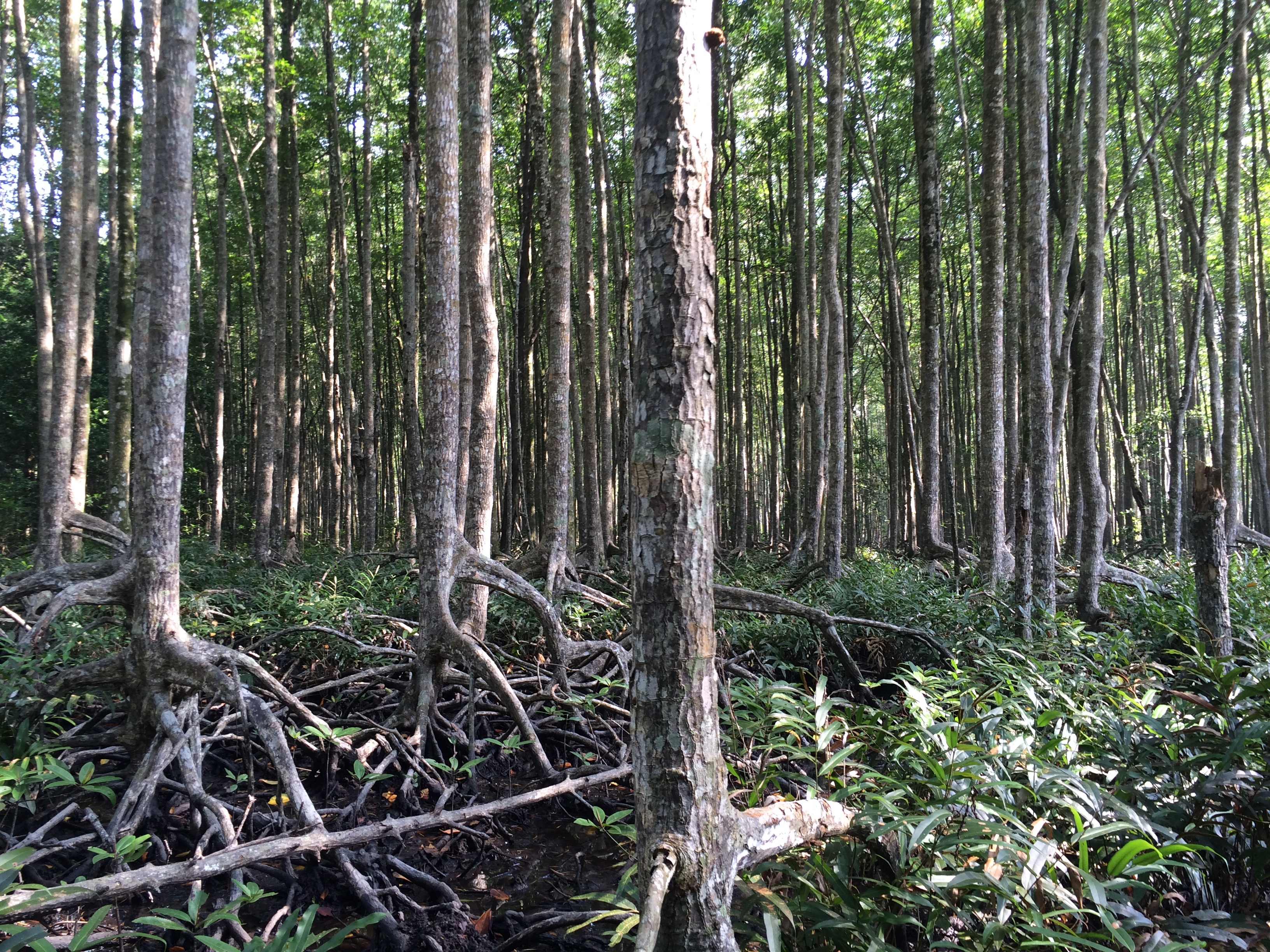
 Landsat time series showing deforestation and regeneration in a mangrove forest in Malaysia.
But mangroves are also one of the most threatened tropical ecosystems in the world. More than 35% of the world’s mangroves has disappeared over the last years and it is continuing to do so at an alarming rate. It has been shown that mangrove deforestation generates around 10% of CO2 emissions from deforestation globally, although they account for just 0.7% of tropical forest area.A THREATENED TROPICAL ECOSYSTEM
So we need to monitor the remaining mangrove forests using reliable and current information on the extent and state of mangroves to ensure their sustainable management.
VITO remote sensing helps in quantifying changes and losses in mangrove cover using optical and RADAR remote sensing imagery. This makes changes in species composition, structure and biomass of mangroves assessment possible. These changes can be tracked back to the 70’s, using historic Landsat satellite data. RADAR can be used to measure the above ground biomass of mangroves and mangrove height. By combining this information, a detailed description of the state of mangroves is provided which can be used in achieving a sustainable mangrove managementTowards sustainable mangrove management
Visit our website to find out more about remote sensing for vegetation, land use and biodiversity.

Series of optical and radar satellite images for mangrove management
© Landsat-USGS; Sentinel-ESA, Worldview: Digital Globe, Tandem-X Airbus, Sentinel-1: ESA, ALOS2-PALSAR-2 JAXA

/lewis-latham-0huRqQjz81A-unsplash.jpg)

/Land%20use%20model%20+%20green%20city.png)