EvoLand is a three-year project launched in January 2023 under the Horizon Europe program, aiming to enhance the Copernicus Land Monitoring Service (CLMS)..
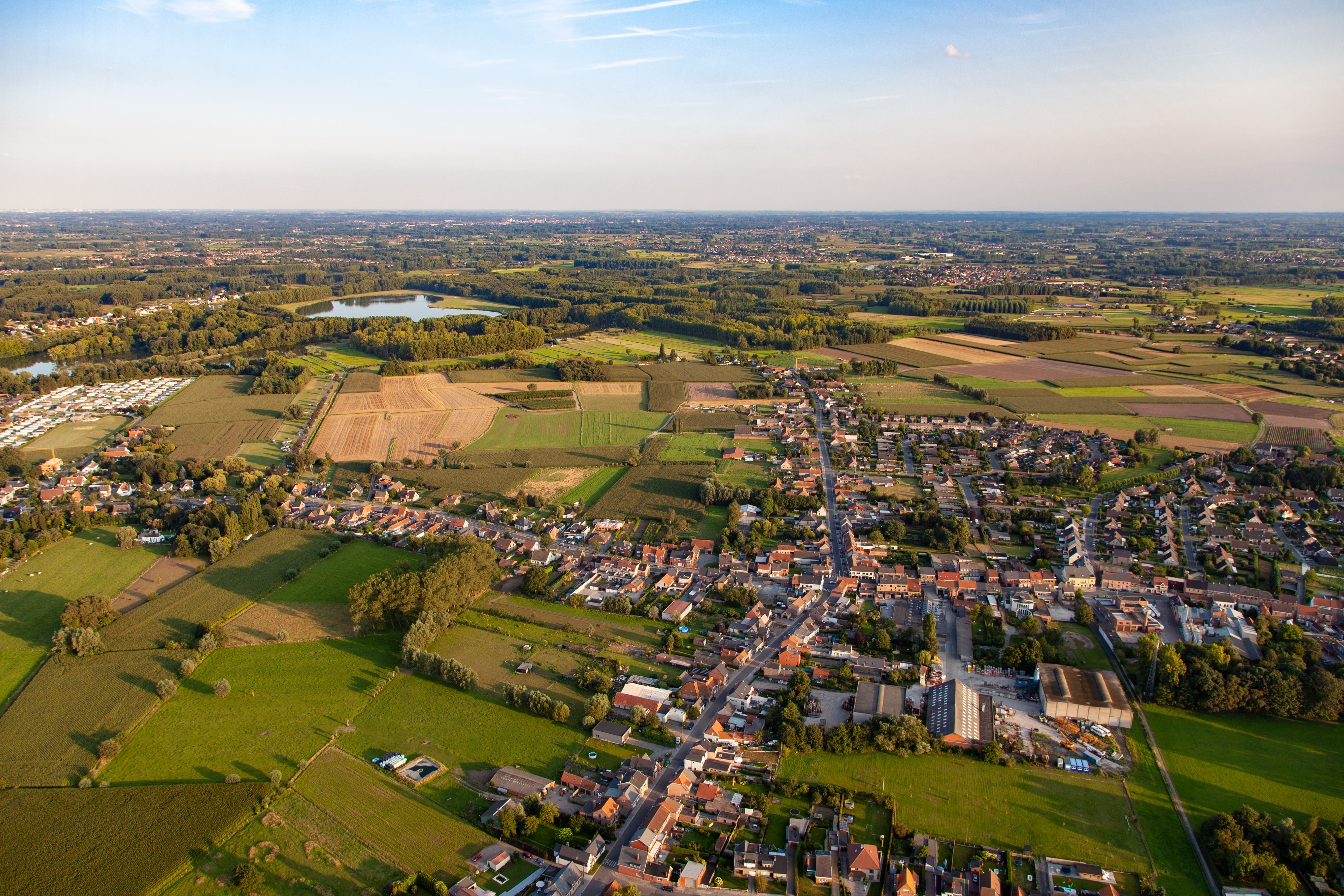
In an era where urbanisation and environmental sustainability often clash, the need for innovative tools to guide spatial planning has never been more..
Data driven resource and asset management, and situational awareness applications force governmental organizations and companies to arrange their own..
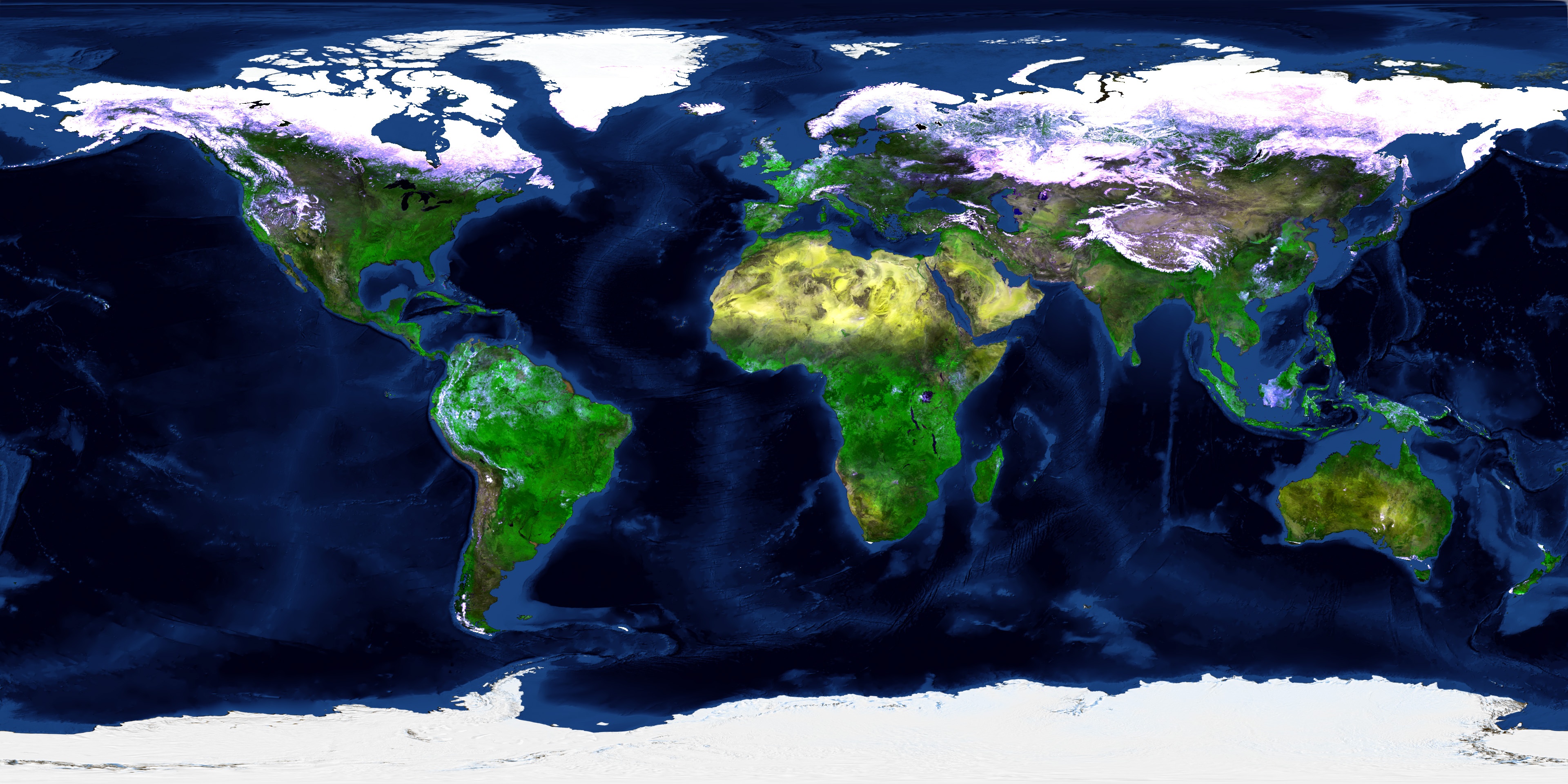
In 2019 we kicked-off ESA’s WorldCover project. An ambitious project set up to develop a new global land cover map at 10 m resolution to provide valuable..
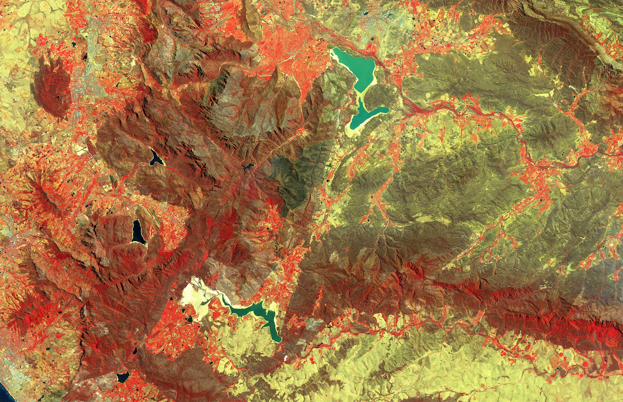
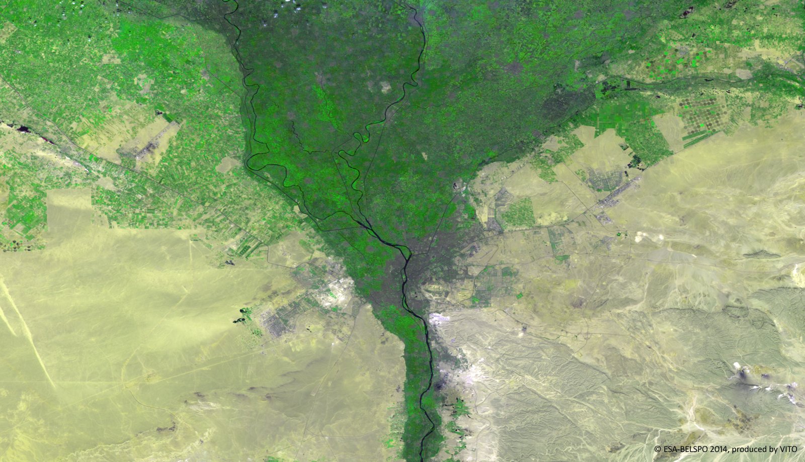
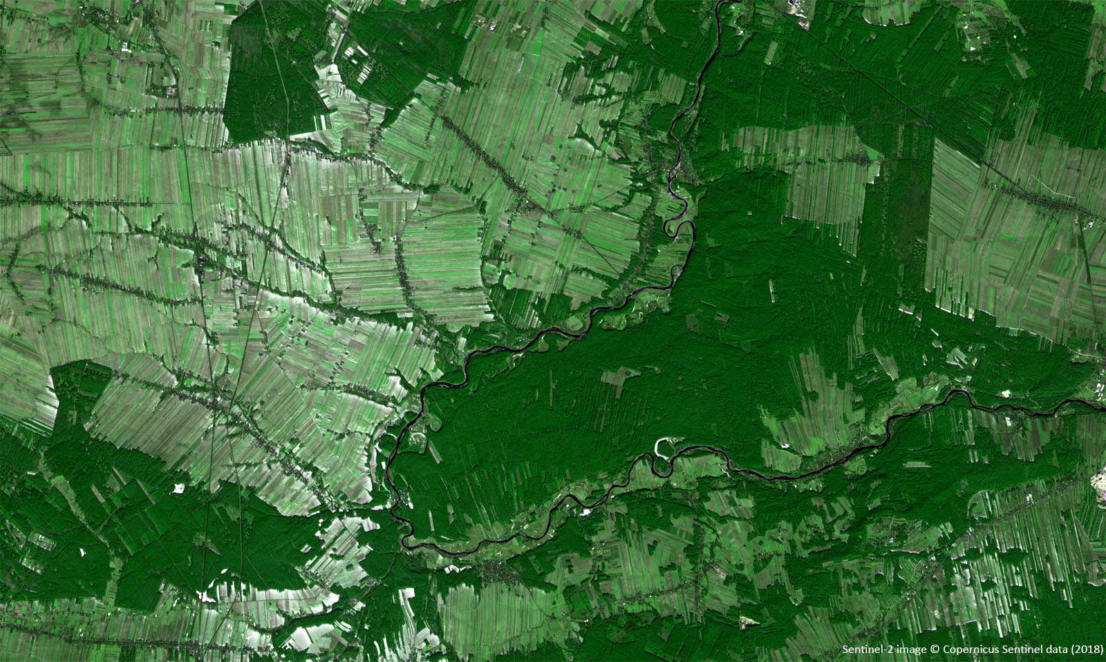
The Sentinel-1 and Sentinel-2 satellites continuously provide new high-quality Earth observation (EO) data. This means that for Flanders we can access new..
At the beginning of 2020, we already showed you how we use PROBA-V observations to map annual land cover changes. After sharing these promising annual..
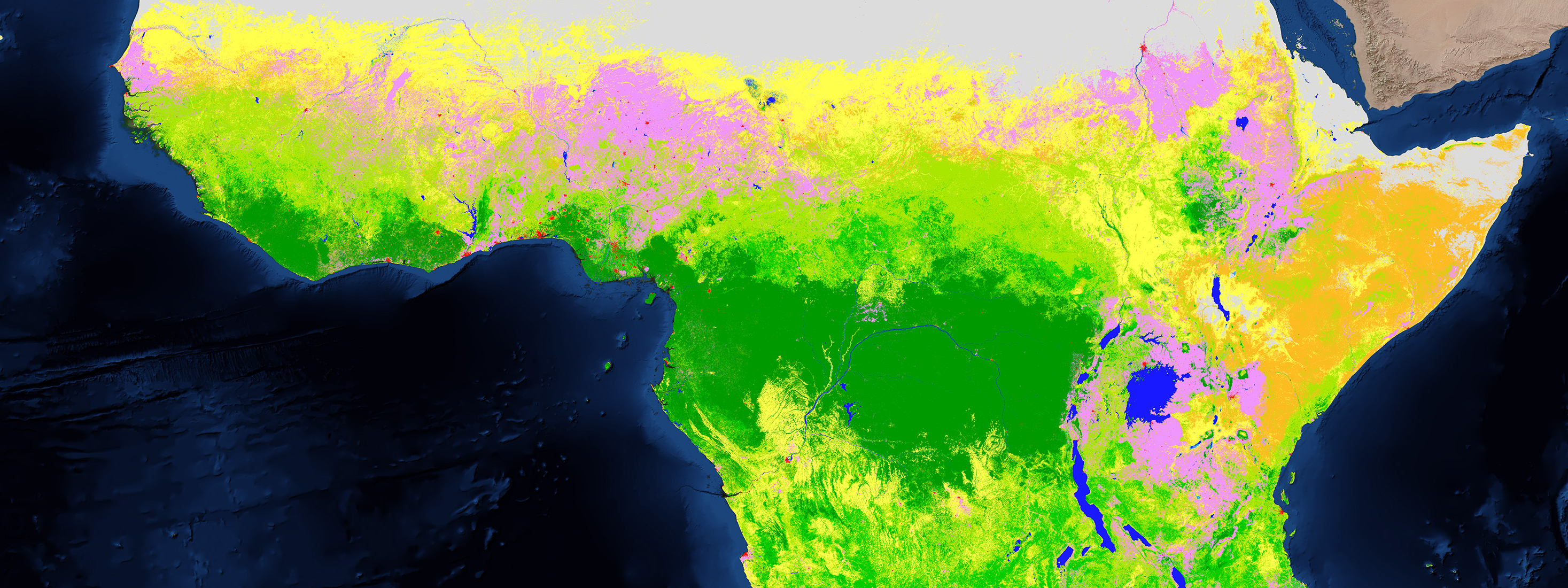
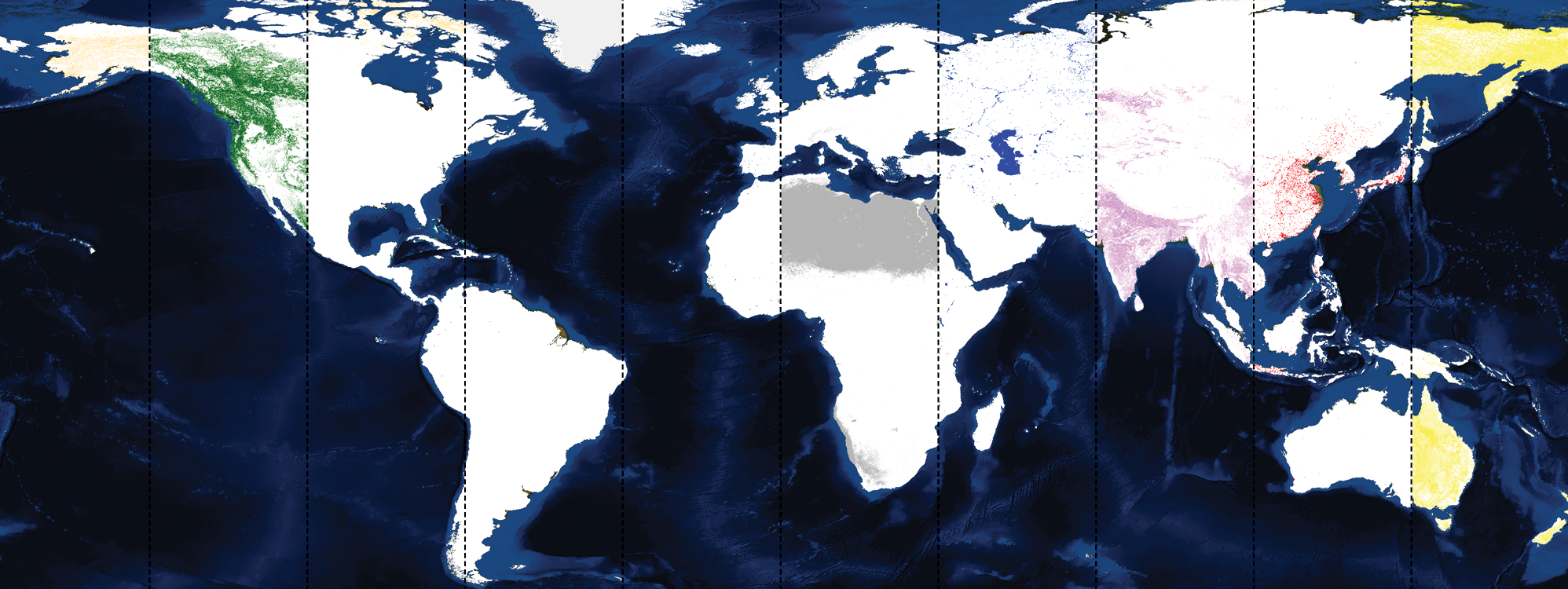
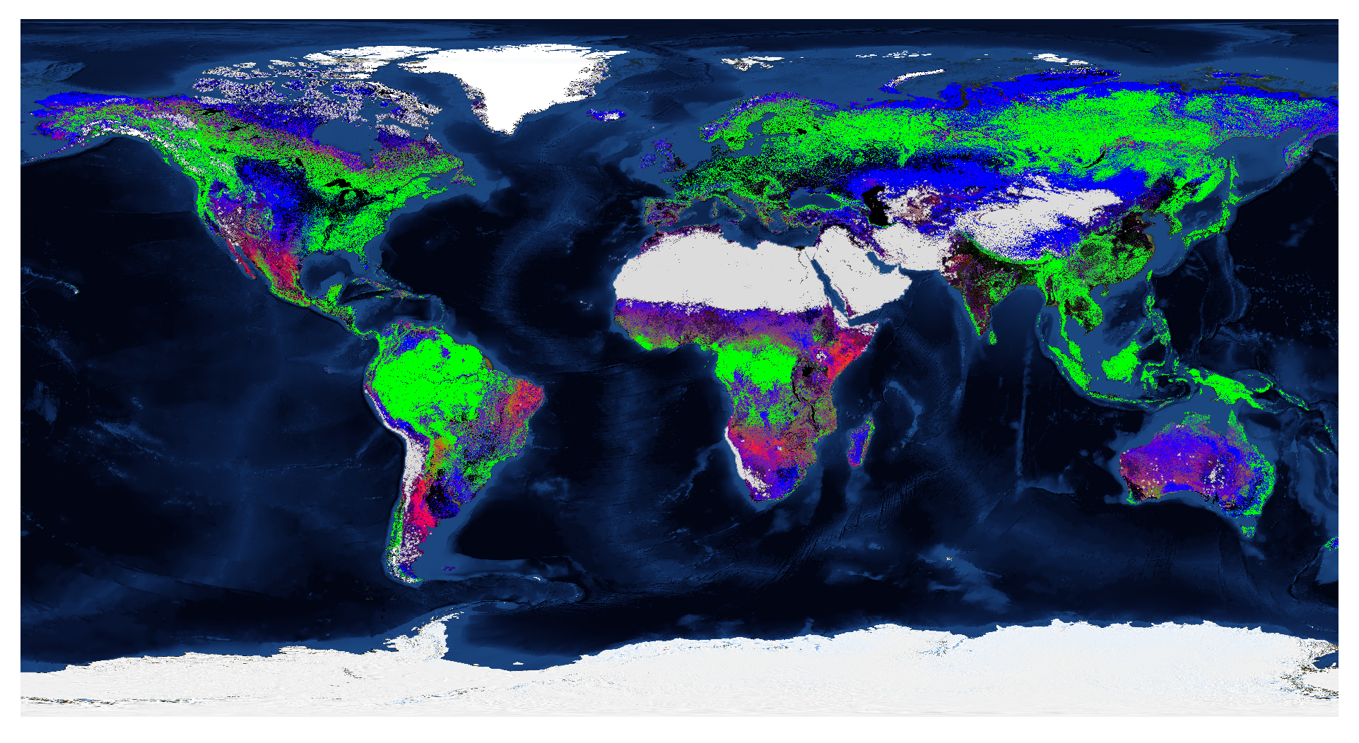
For those who already know us or follow us for quite some time it is no big surprise, we have a big interest and expertise in global land cover monitoring..
Invasive Alien Species (IAS) are one of the most important drivers of biodiversity loss. Either introduced deliberately (e.g. through fish farming or..
Coastal waters, including bays and estuaries, contain a wide variety of species and habitats. However, coastal waters are also extensively exploited for..
Recent news on the situation of the South African metropolis Cape Town underlines the gravity of drought as one of the most destructive environmental..
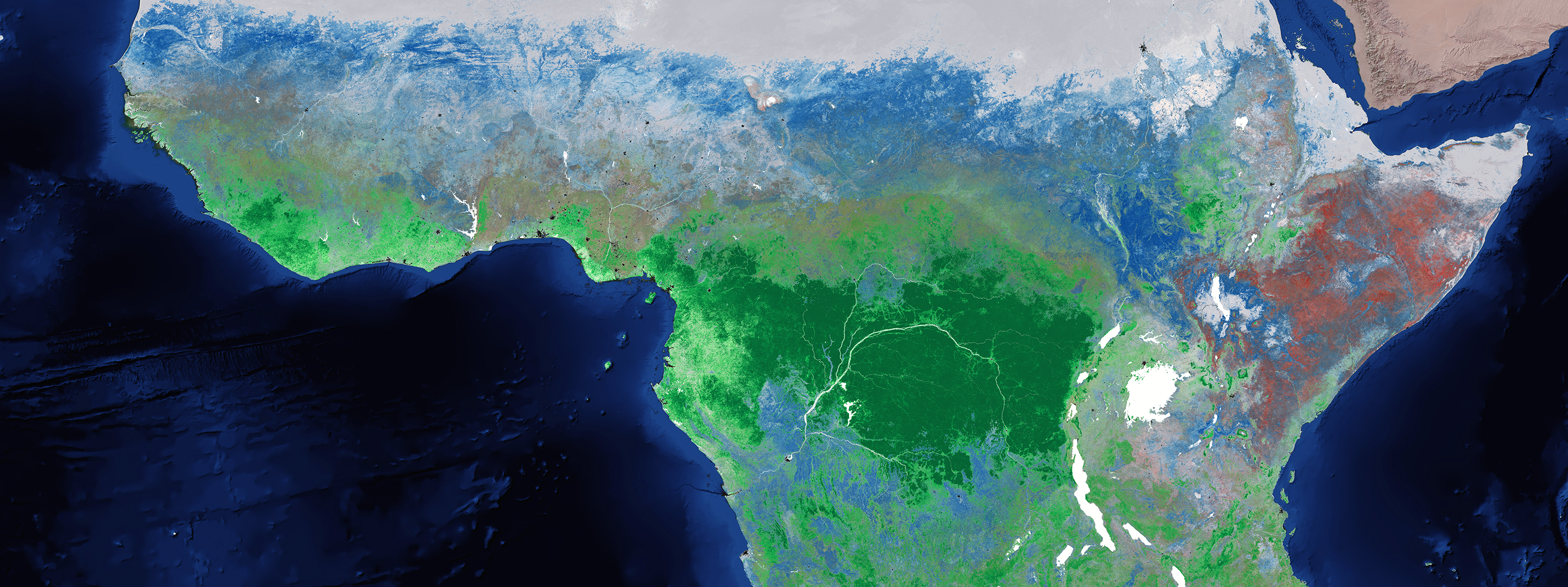
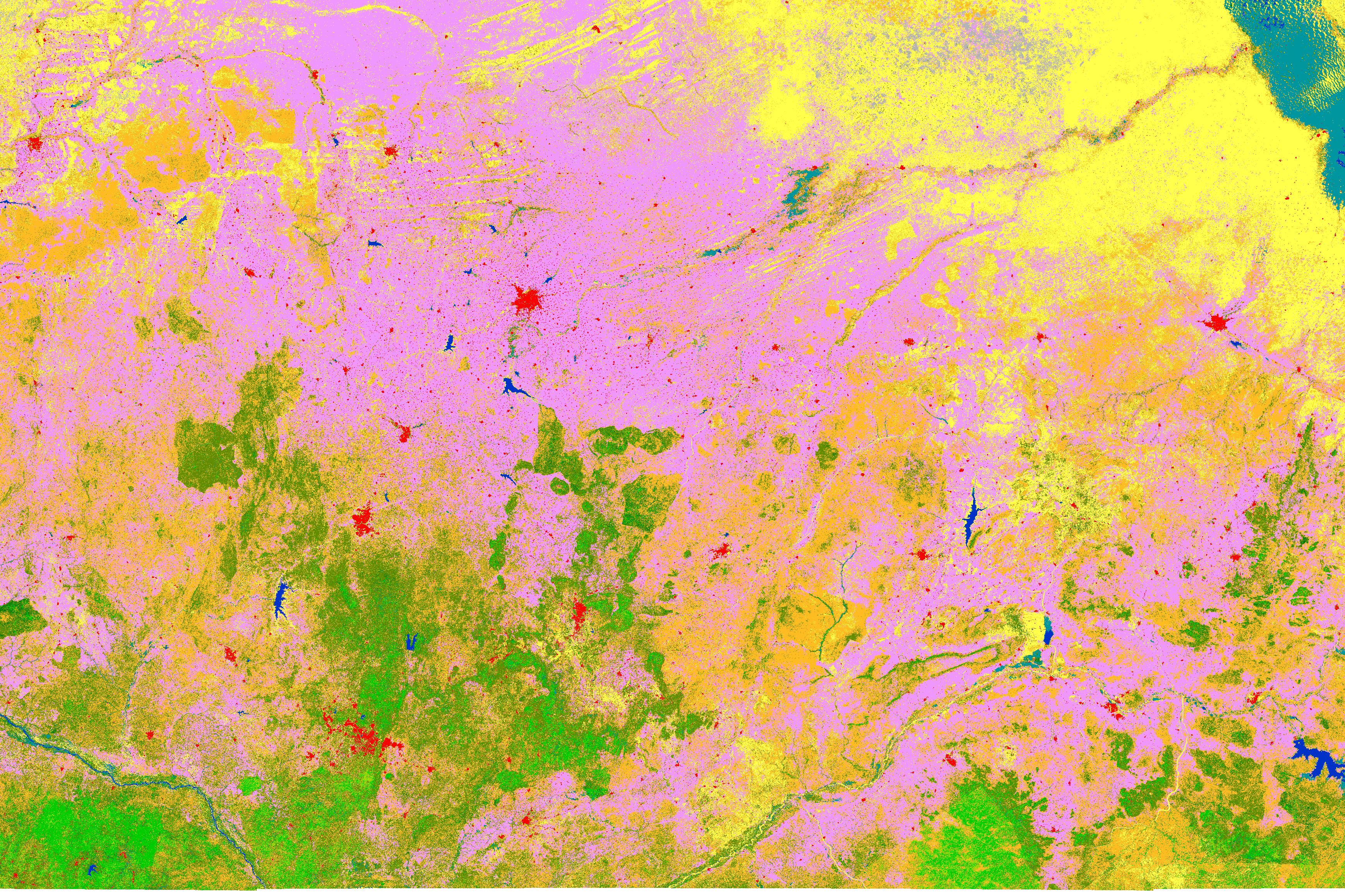
Static land cover maps are often hard to use in different applications. But with a wide range of user groups, we need more elastic land cover mapping..
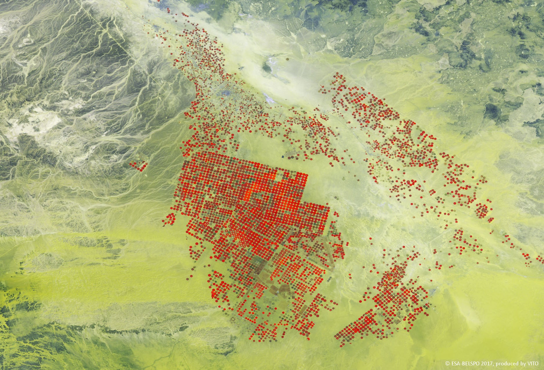
Agriculture is one of the main water users in the world. In order to achieve food security in the future, it is essential that the water resources are..
Understanding our planet and the impact of climate change: a vexing question for several years now. How is Europe actually facing climate change and its..
/lewis-latham-0huRqQjz81A-unsplash.jpg)
/Land%20use%20model%20+%20green%20city.png)


-_-header.png)
.jpg)