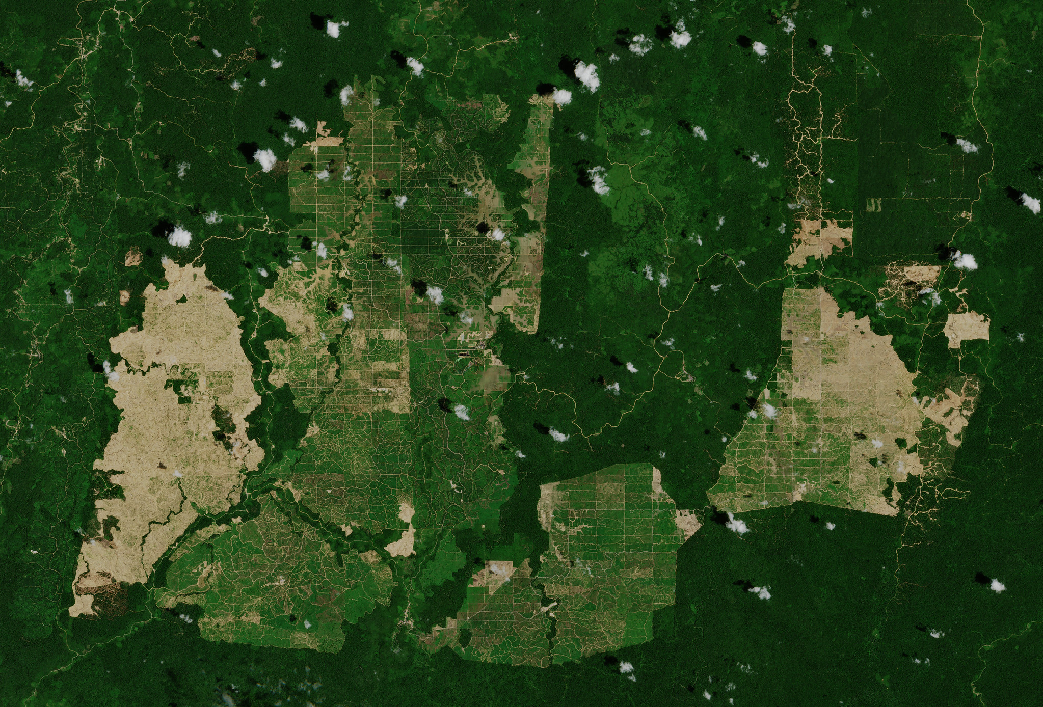
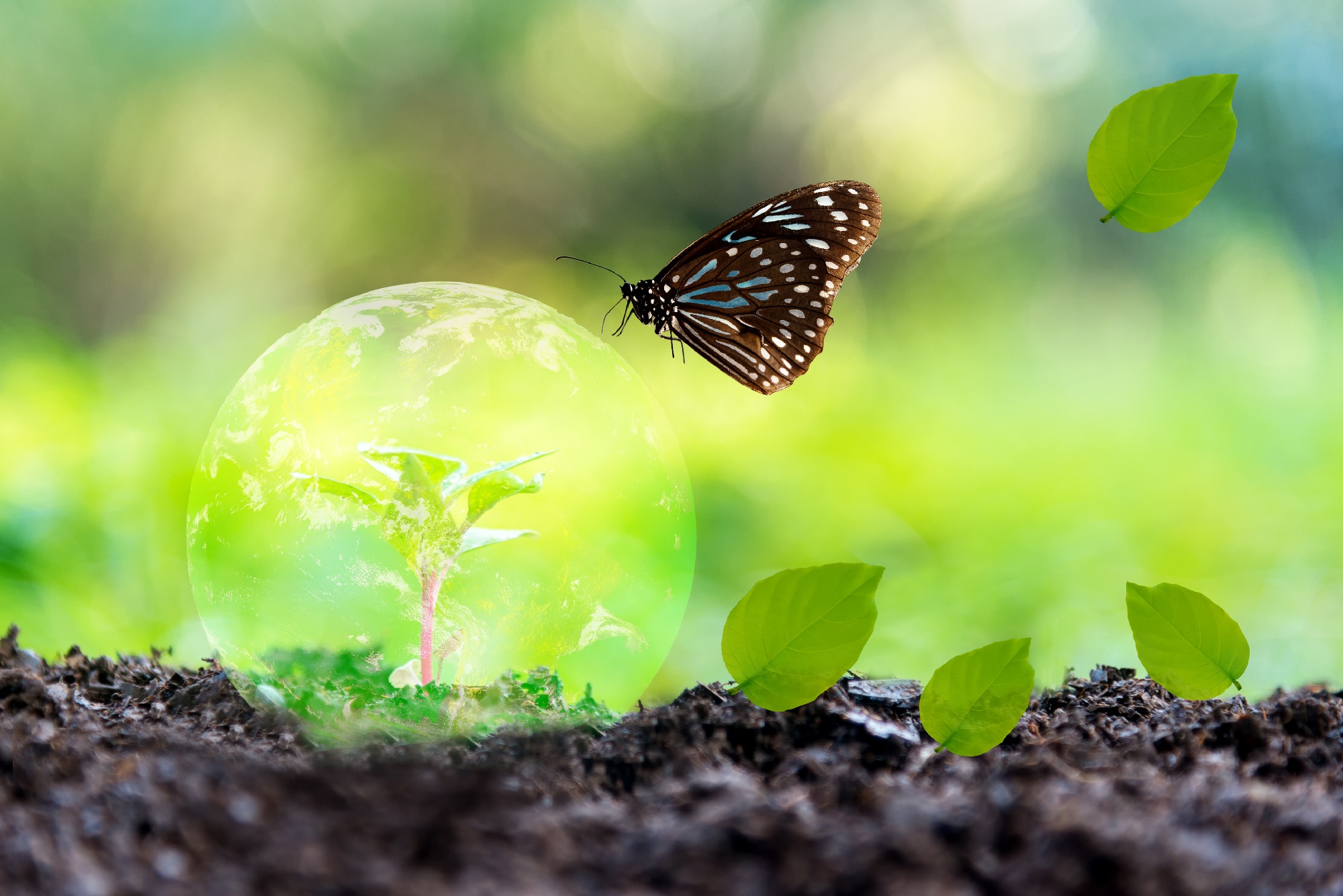
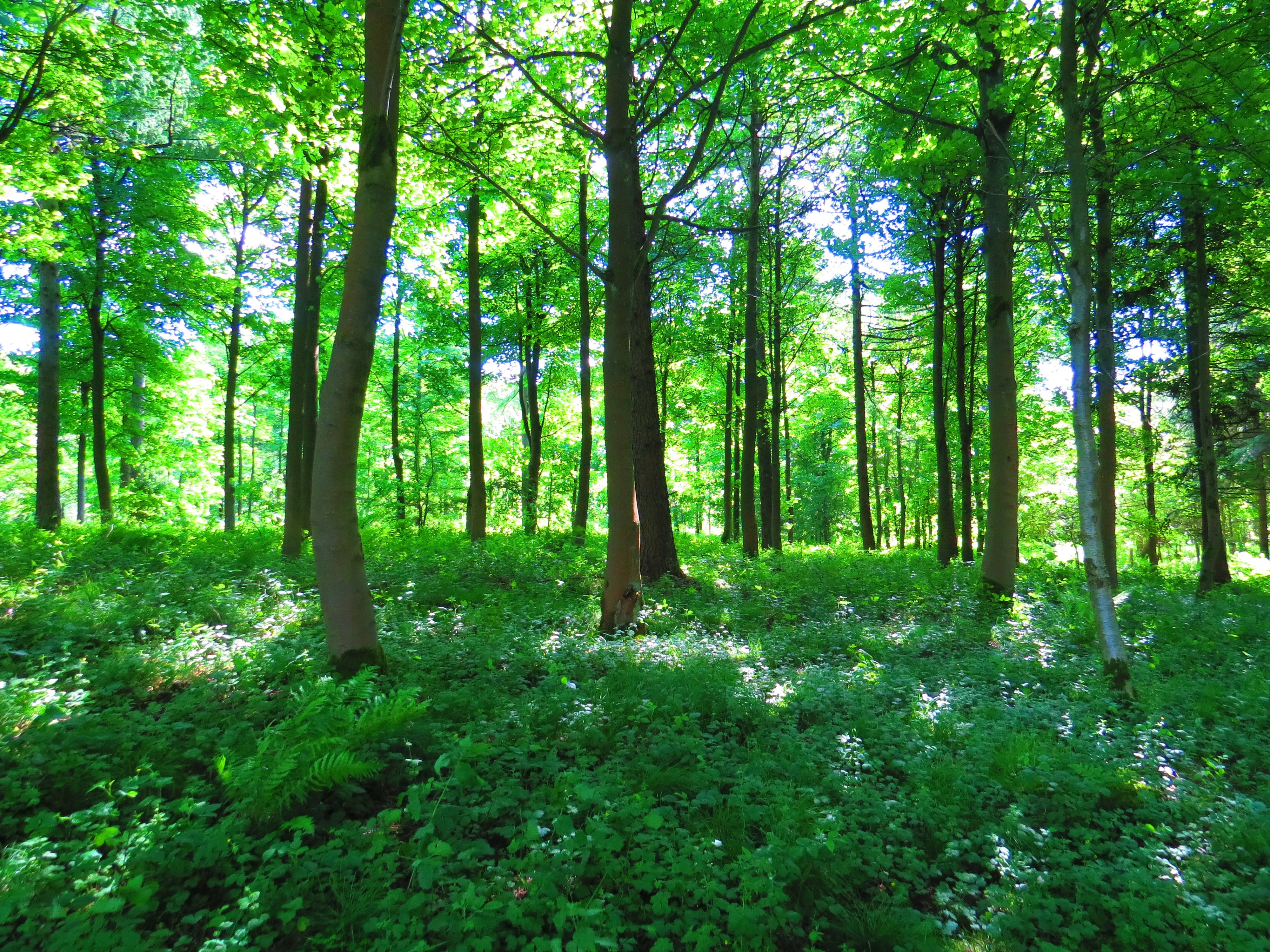
Monitoring global land cover and tropical forests is essential for addressing deforestation, biodiversity loss, and climate change. To support research,..
EvoLand is a three-year project launched in January 2023 under the Horizon Europe program, aiming to enhance the Copernicus Land Monitoring Service (CLMS)..
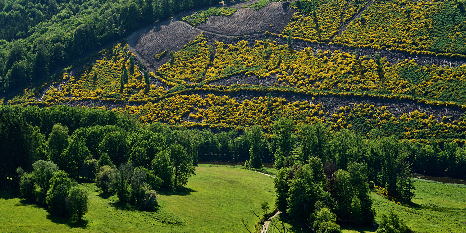
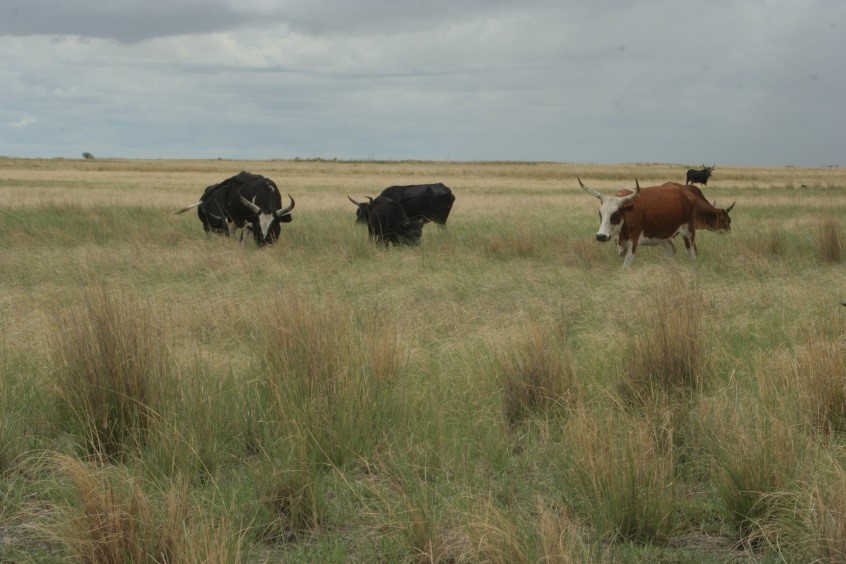
Land degradation (LD) is defined as the reduction or loss of biological or economic productivity in cropland, pastures, and forests resulting from natural..
Land degradation affects the livelihoods of millions of people worldwide. Diminished overall productivity and reduced resilience in the face of climate..
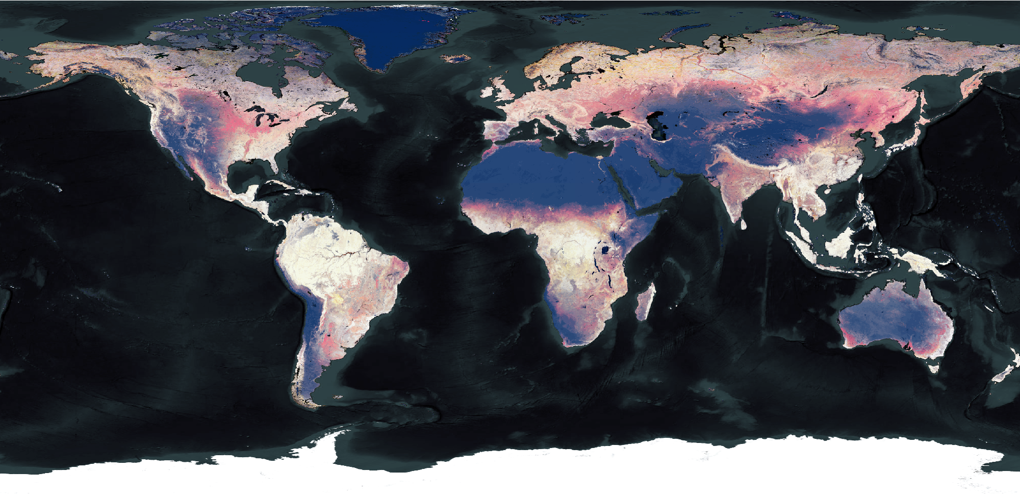
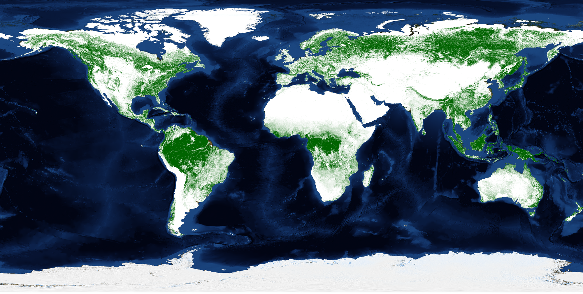
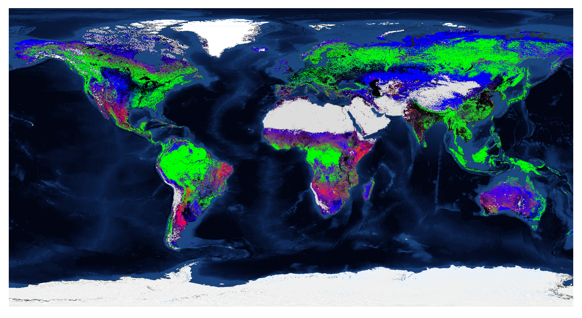
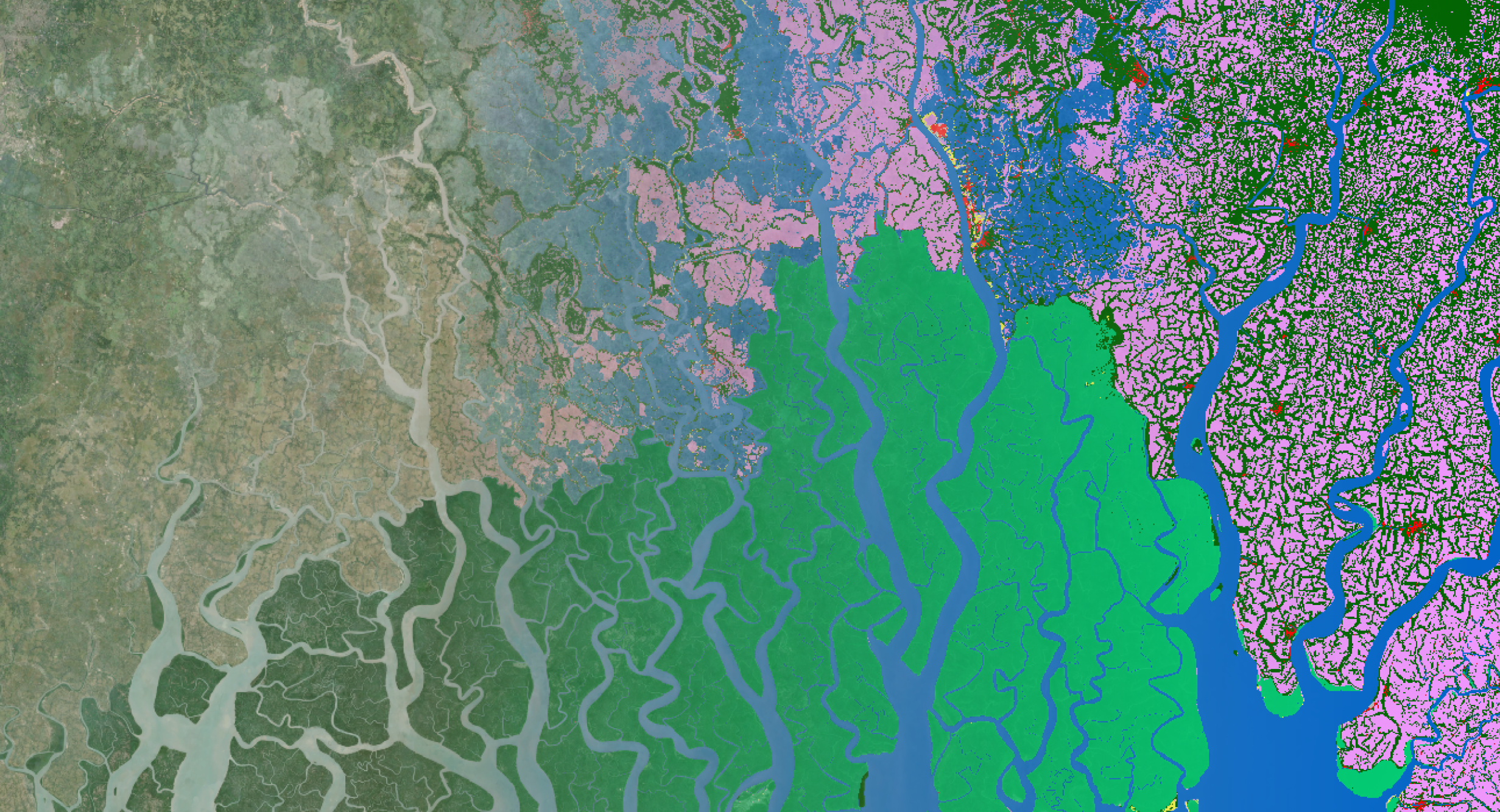
During the development of ESA WorldCover 2020 and 2021, the first global land cover maps at 10 meters resolution based on Sentinel-1 and Sentinel-2, we..
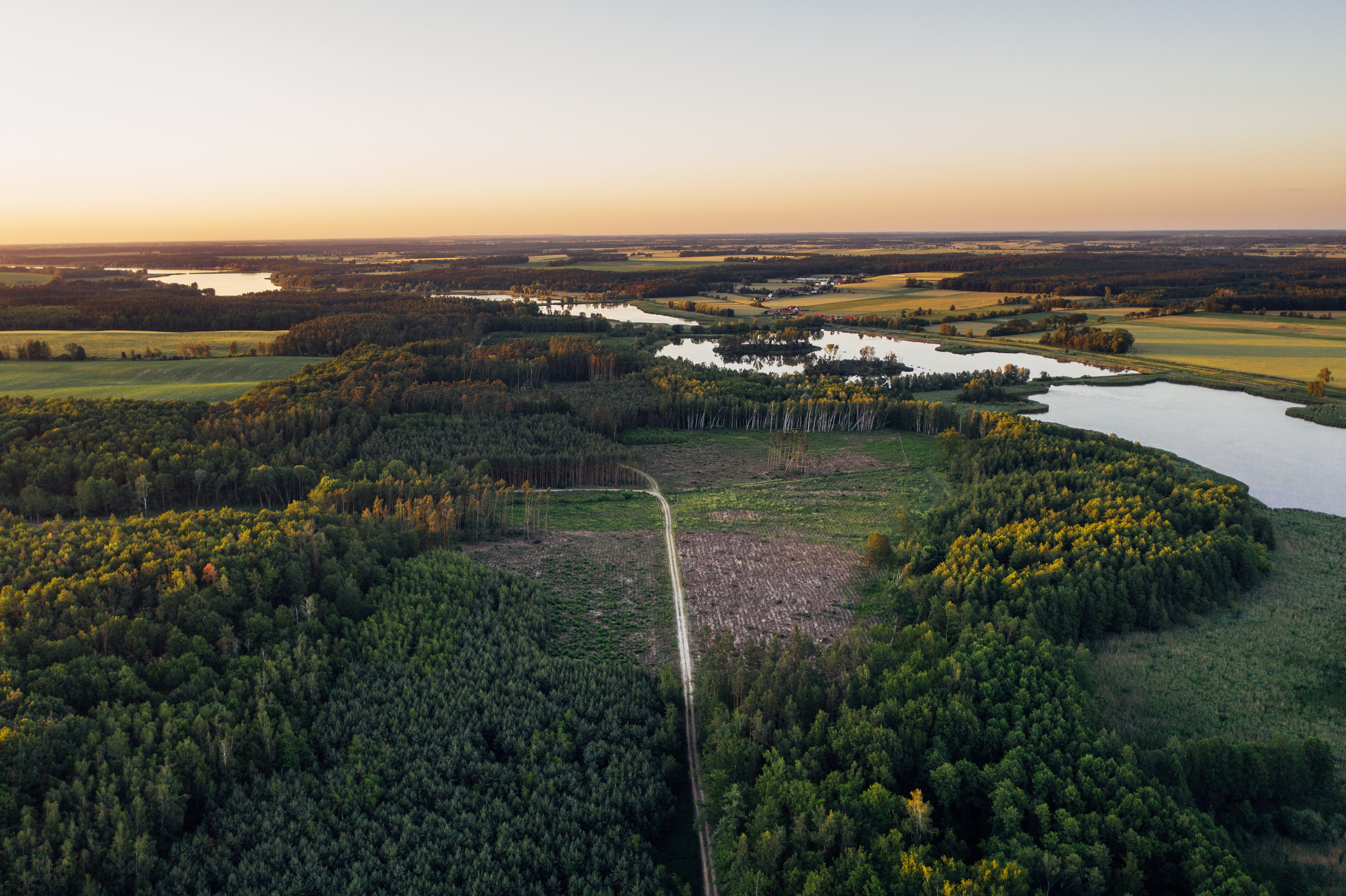
Timely information on land cover and land cover change is crucial to understand anthropogenic pressures on our environment, the state of ecosystems, and..
One year after the release of the WorldCover 2020 map, i.e. the first global land cover product at 10 m resolution based on both Sentinel-1 and Sentinel-2..
Habitat Mapping is a key tool to assess progress towards the European Biodiversity 2030 targets as well as the global Aichi targets and more particular..
Since its release, the Copernicus Global Land Cover maps have raised interest for applications in different fields. But downloading these products to your..
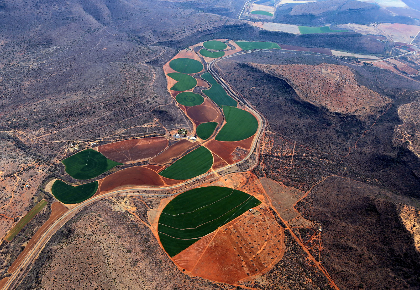
Did you know that agriculture is responsible for up to 70% of all water withdrawals in the world? With water becoming more scarce, making every drop count..
Launched in 2013 and more than 5 years of observations, ESA’s miniature satellite PROBA-V monitors the evolution of our planet’s vegetation every day. We..
/lewis-latham-0huRqQjz81A-unsplash.jpg)
/boudewijn-huysmans-_iyh6g5KHQA-unsplash.jpg)