Flanders is a water-scarce region. Yet a lot ofusable water remains unused. A large amount of water is discharged into the sea via watercourses or the..
In the Netherlands, Rijkswaterstaat is responsible for the management and maintenance of the main infrastructure facilities including the waterways. In..
Data driven resource and asset management, and situational awareness applications force governmental organizations and companies to arrange their own..
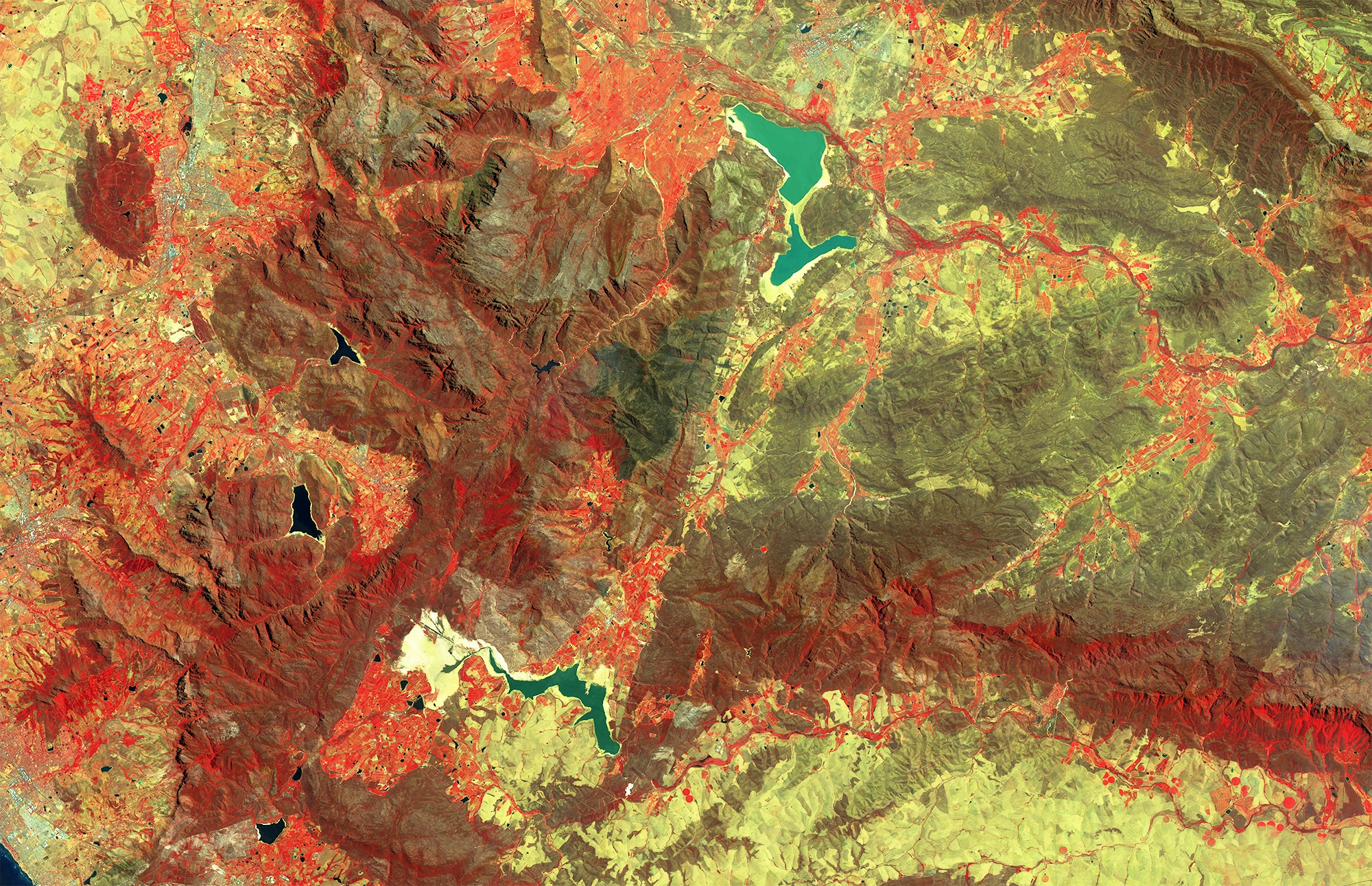
The EU Water Framework Directive requires the EU member states to classify their surface water bodies according the ecological status into high, good,..
Rivers, creeks, lakes, oceans, … are key components in the hydrological cycle. We use them for drinking, irrigation, transport , recreation,… and they..
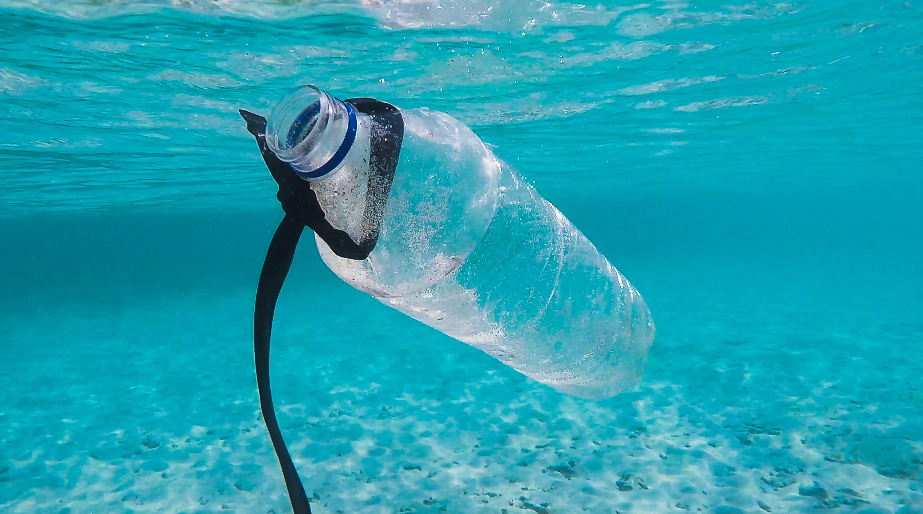
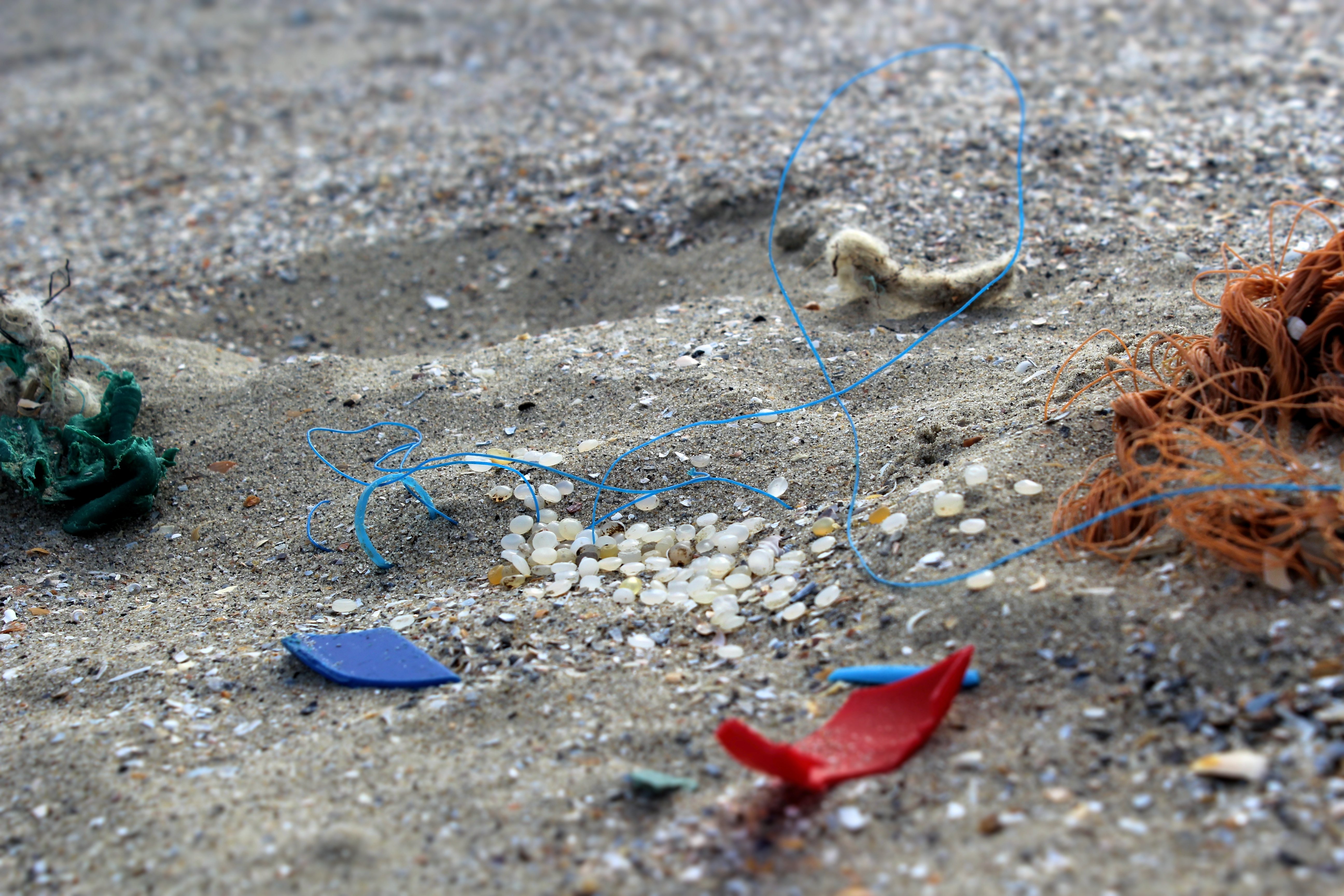
The past 3 weeks we’ve heard a lot about ‘MeiPlasticvrij’. Maybe you’re even participating? A campaign set up for the second time to make everyone aware..
The goal of the European Commission Copernicus program is to offer free and open data about our environment. For example, Sentinel-2 covers our entire..
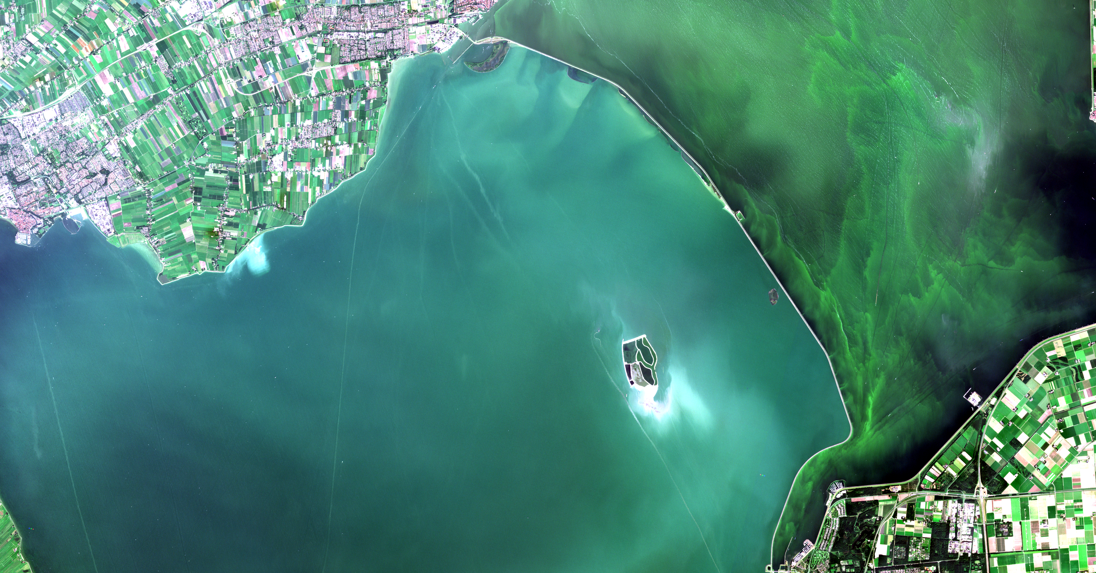
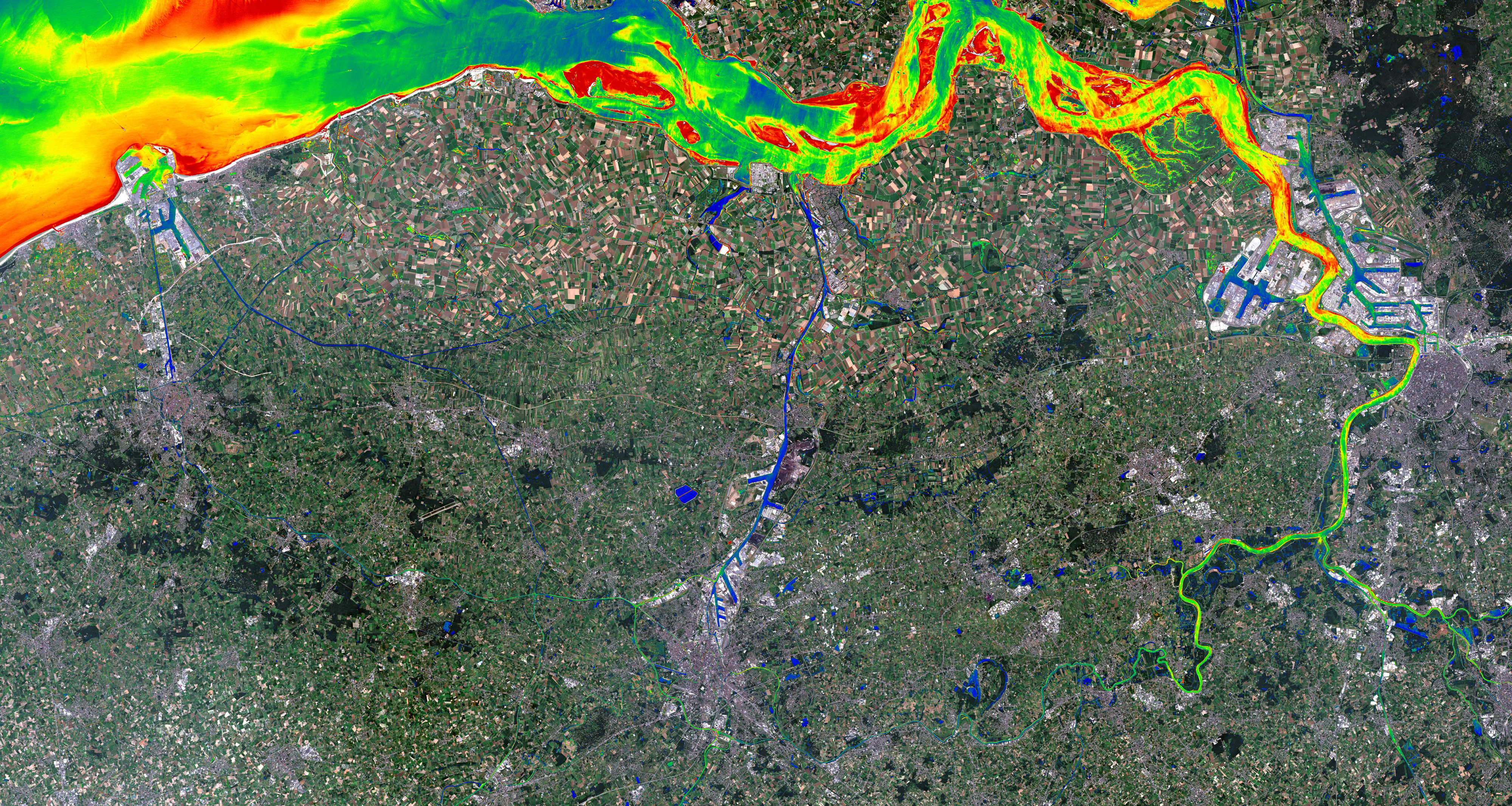
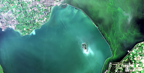
Coastal waters, including bays and estuaries, contain a wide variety of species and habitats. However, coastal waters are also extensively exploited for..
An idyllic setting in the Dartington Hall in South West England. Grass fields, trees, birds, rivers, the nature at its best. The perfect place for 12..
Recent news on the situation of the South African metropolis Cape Town underlines the gravity of drought as one of the most destructive environmental..
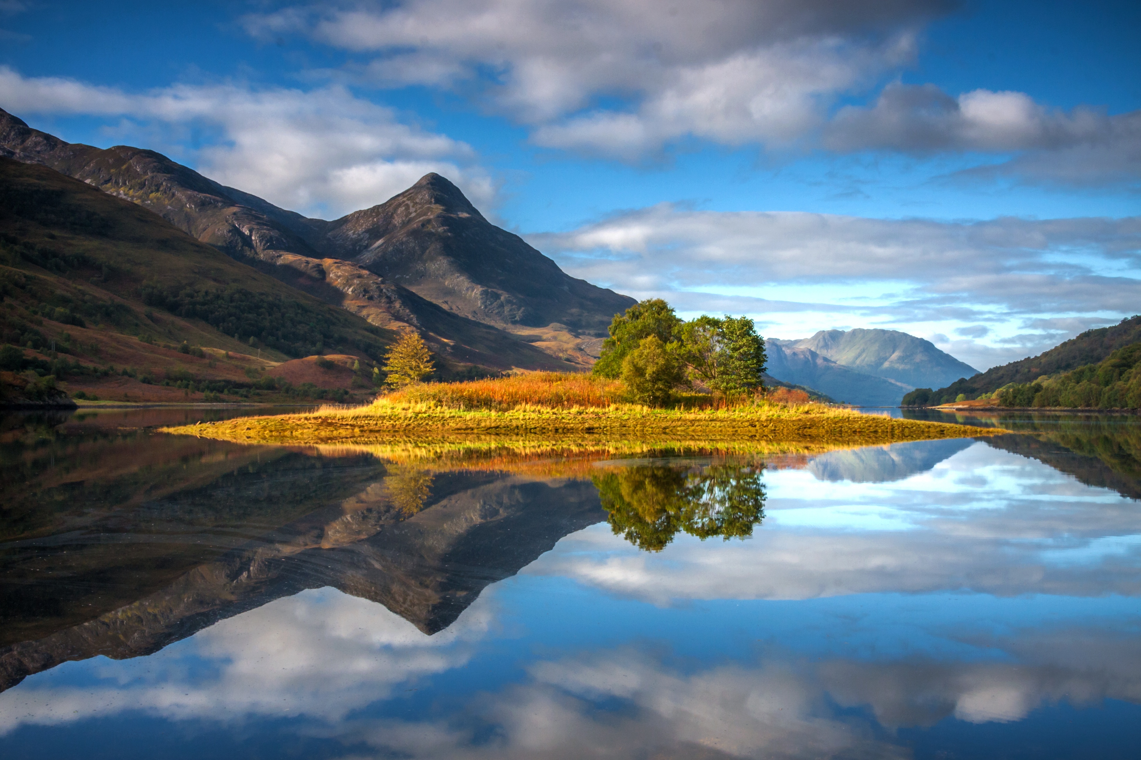
With more than 70 % of our Earth covered by water and nearly half of our global population living near the coast, the importance of water on Earth cannot..
It is a well-known fact that our climate is changing rapidly. The global temperature has increased by 1oC over the last half century and 2016 was the..
The International Maritime Organization predicts a significant increase in the transport of cargo and goods by sea over the coming decades. Due to this,..
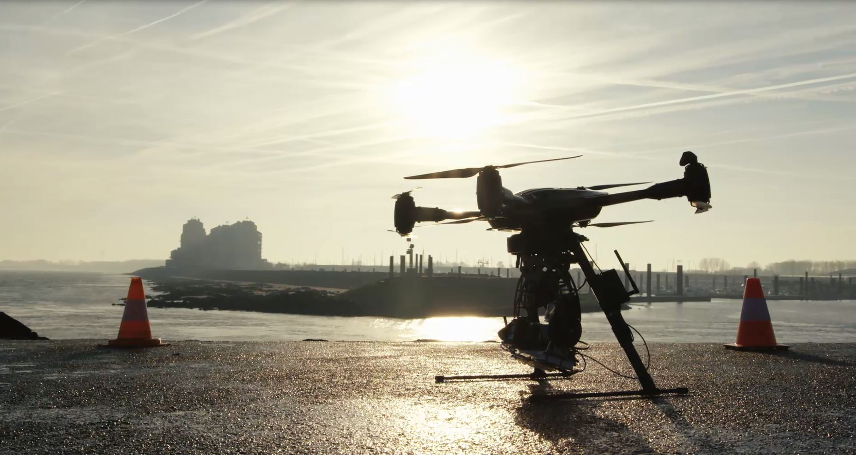
Often, the solution to a certain problem can be found right under your nose. When that solution is soaring high above your head, however, you might need a..
.png)
.jpg)