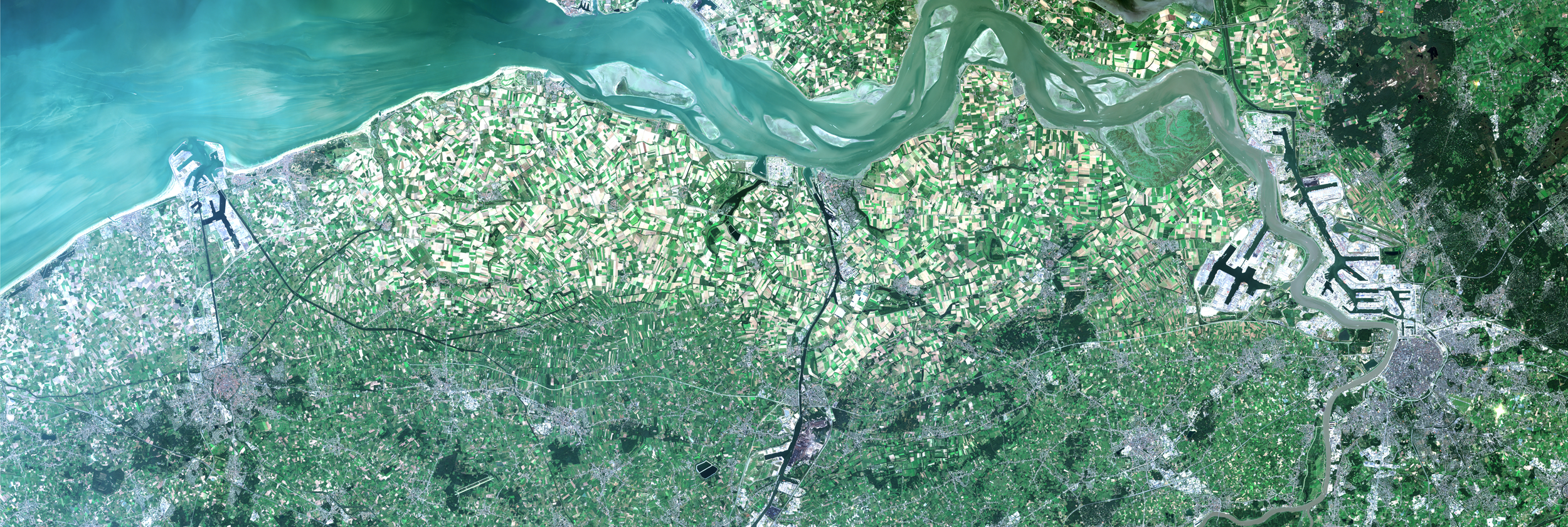
Monitoring global land cover and tropical forests is essential for addressing deforestation, biodiversity loss, and climate change. To support research,..
EvoLand is a three-year project launched in January 2023 under the Horizon Europe program, aiming to enhance the Copernicus Land Monitoring Service (CLMS)..
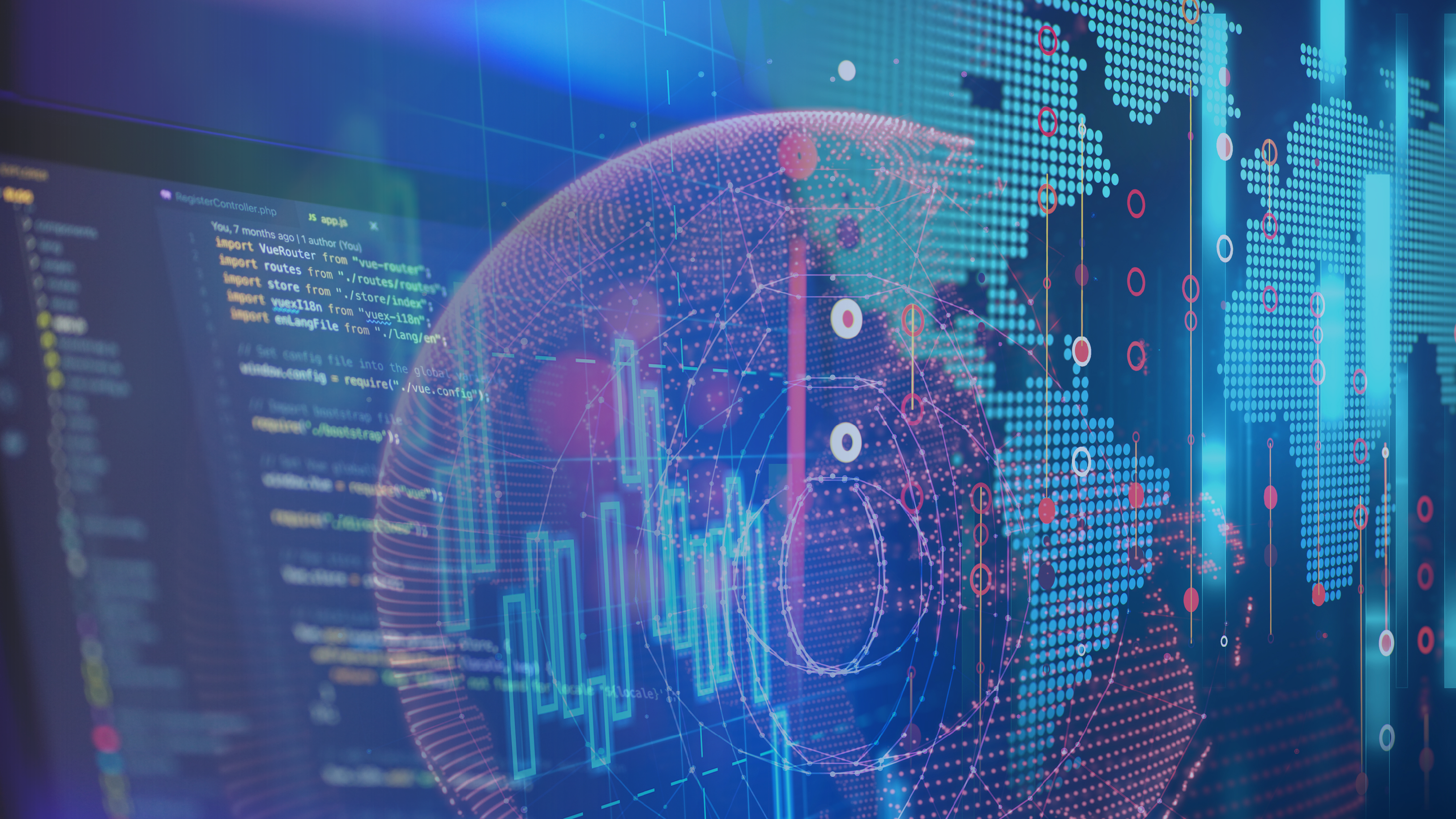
With the ever-growing volume and variety of Earth Observation (EO) data, processing these datasets into valuable insights about our planet can present..
Land degradation (LD) is defined as the reduction or loss of biological or economic productivity in cropland, pastures, and forests resulting from natural..
Cropland is one of the most dynamic land cover types, responding rapidly to evolving agricultural policies and changing climatic conditions. Yet, despite..
On December 16th, 2022, the new Copernicus Data Space Ecosystem project kicked off with the stringent ambition to become the public go-to platform and..
In an ever-changing environment where the consequences of climate change are increasing significantly, the use of Copernicus satellite data becomes even..
Geospatial data and remote sensing services have grown to powerful tools in search of true information about our environment, society and economy. Many..
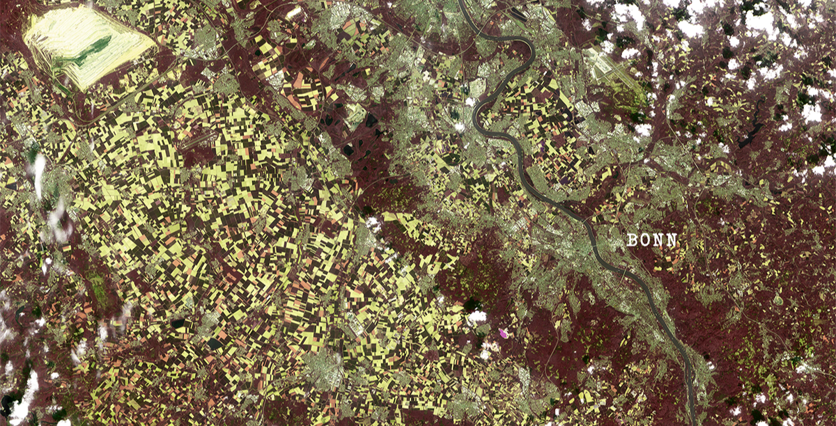
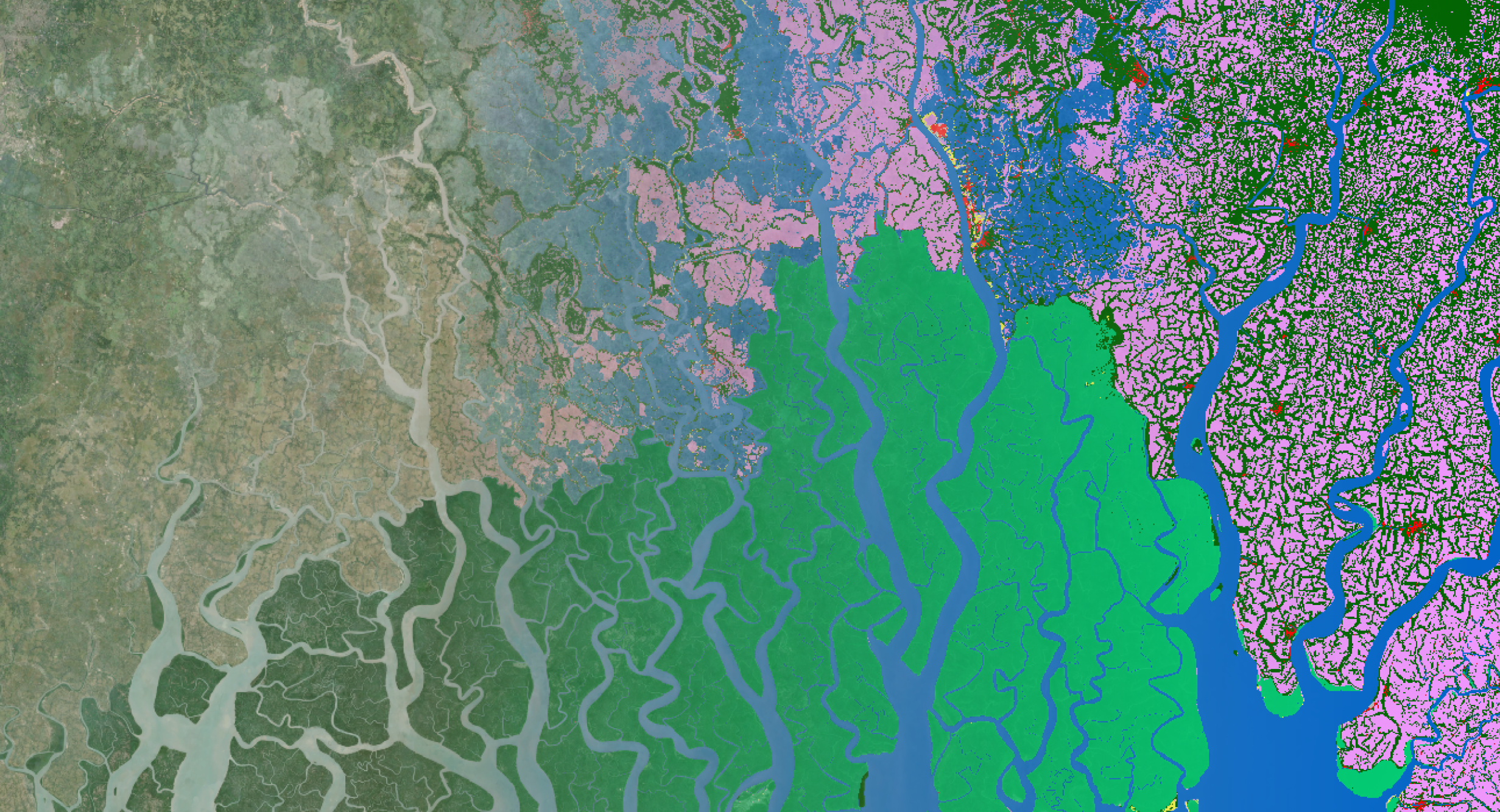
At the beginning of 2020, we already showed you how we use PROBA-V observations to map annual land cover changes. After sharing these promising annual..
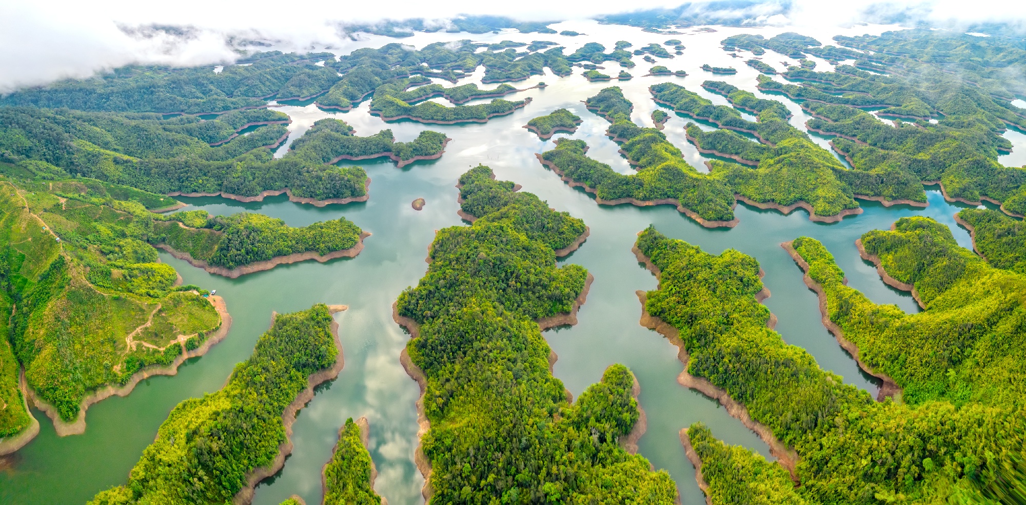
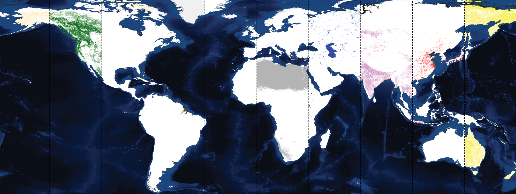
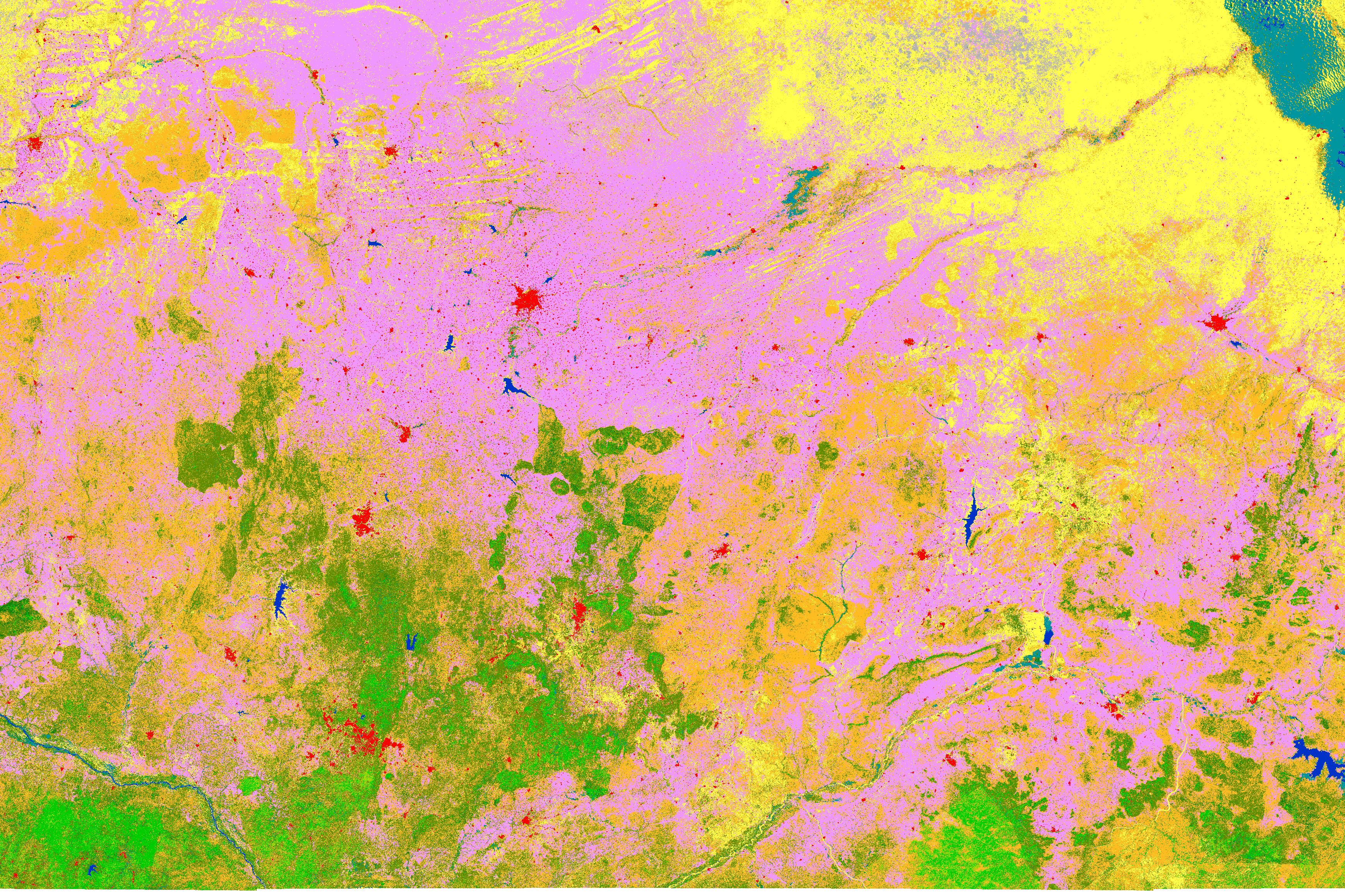
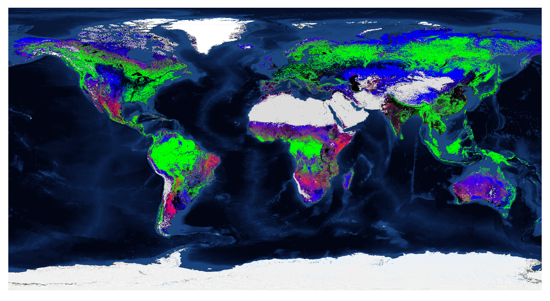
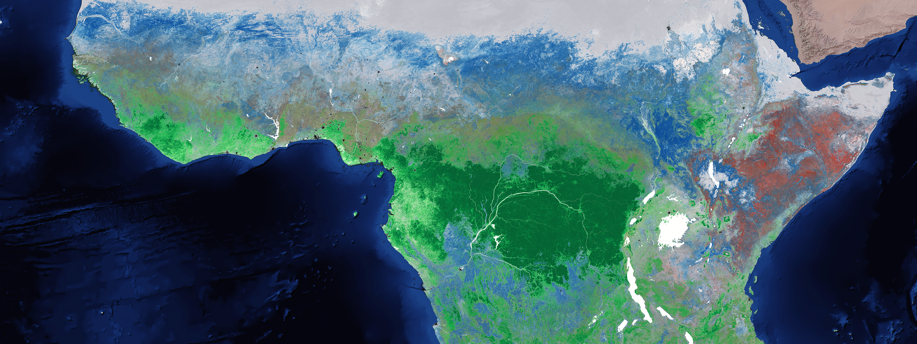
For those who already know us or follow us for quite some time it is no big surprise, we have a big interest and expertise in global land cover monitoring..
Nineteen years after the implementation of the EU Water Framework Directive, a framework to guarantee that there is enough good-quality water for its..
Youth for climate, sign for my future, claim the climate … several initiatives have been started all over the world to encourage our policy makers to take..
Static land cover maps are often hard to use in different applications. But with a wide range of user groups, we need more elastic land cover mapping..
To maximize the usability and uptake of Copernicus satellite data, ESA is setting up partnerships or collaborative ground segments in its member states...
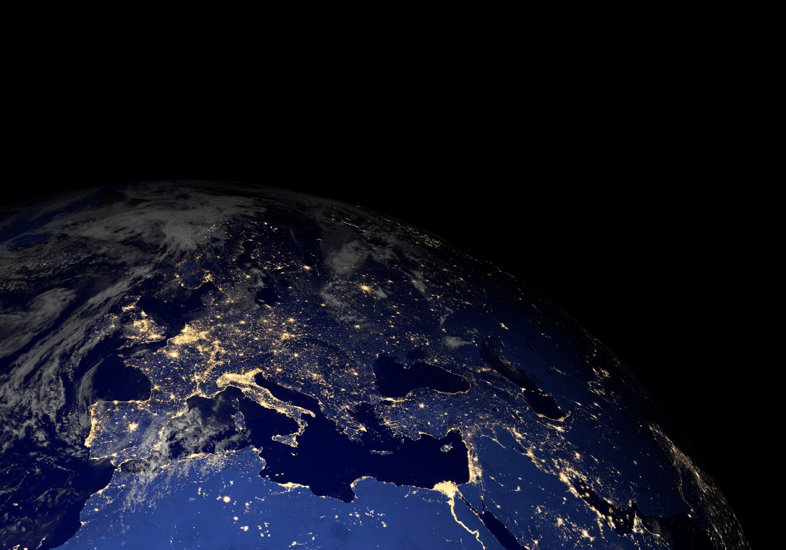
Space is inspiring. Space is innovating. Space supersedes barriers we have on earth. Space is about stars, planets, moons, asteroids and astronauts. But..
Massive amounts of Earth observation data are generated by the Sentinel satellites. But how can you get access and retrieve valuable information? The..
/lewis-latham-0huRqQjz81A-unsplash.jpg)
/boudewijn-huysmans-_iyh6g5KHQA-unsplash.jpg)
/background_image_blog.jpg)