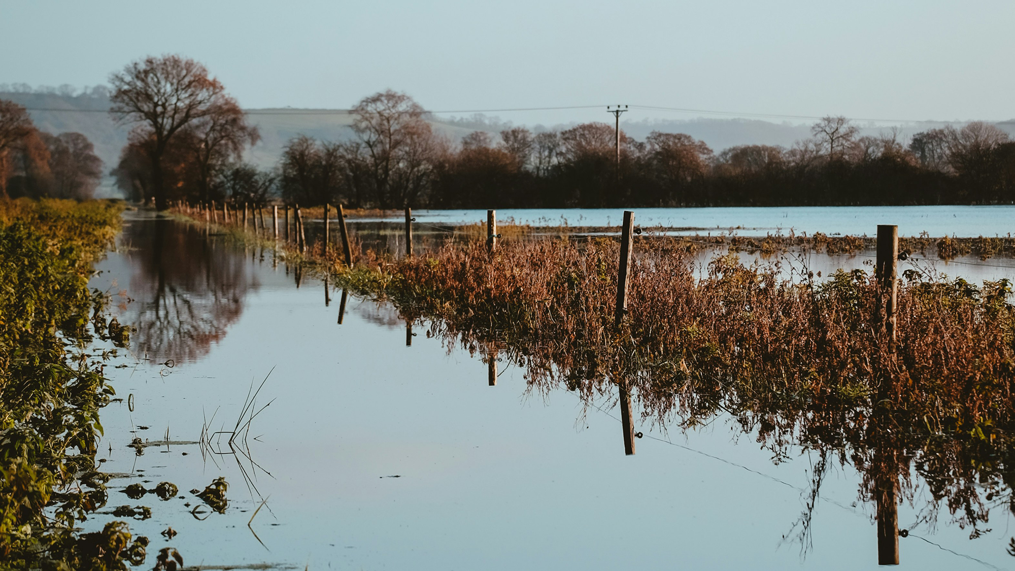
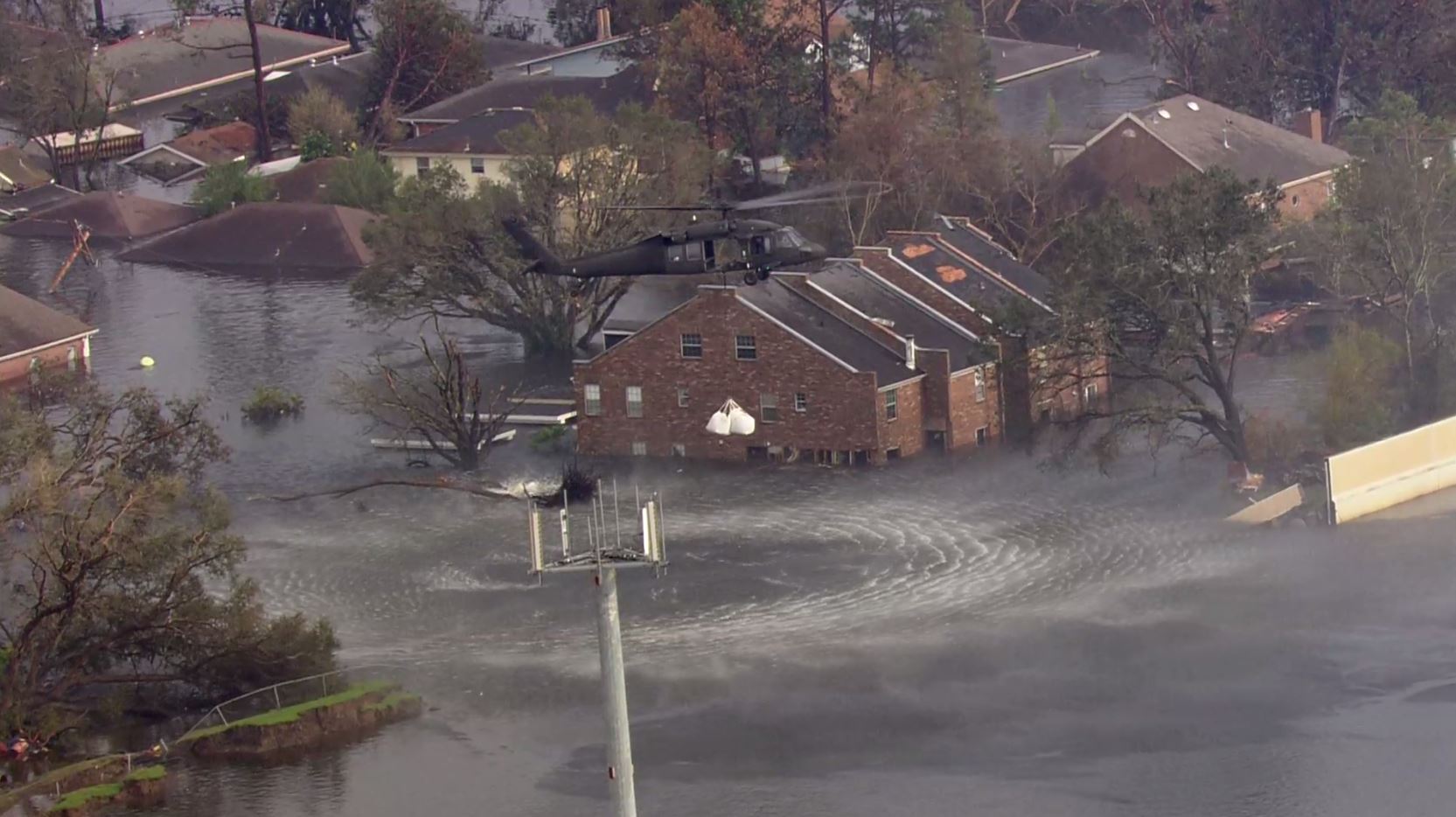
Floods! Unfortunately, they are happening all over the world and occurring more often and more intensely due to climate change. There is an urgent need..
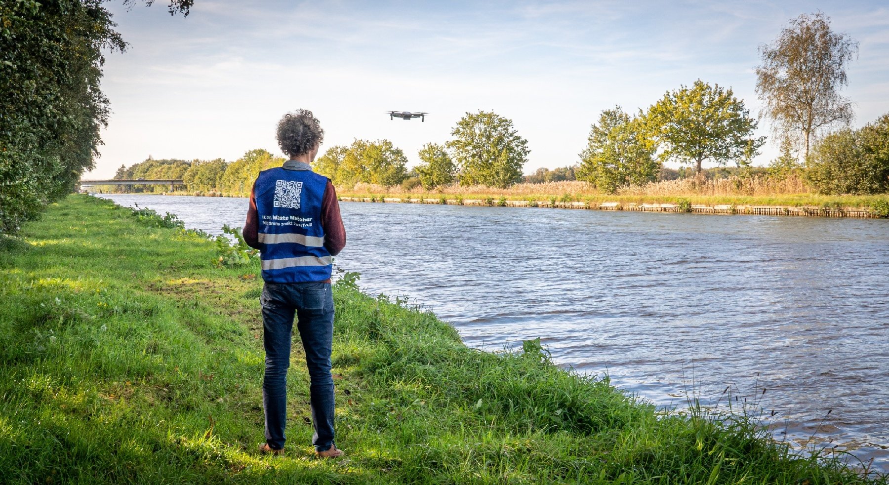
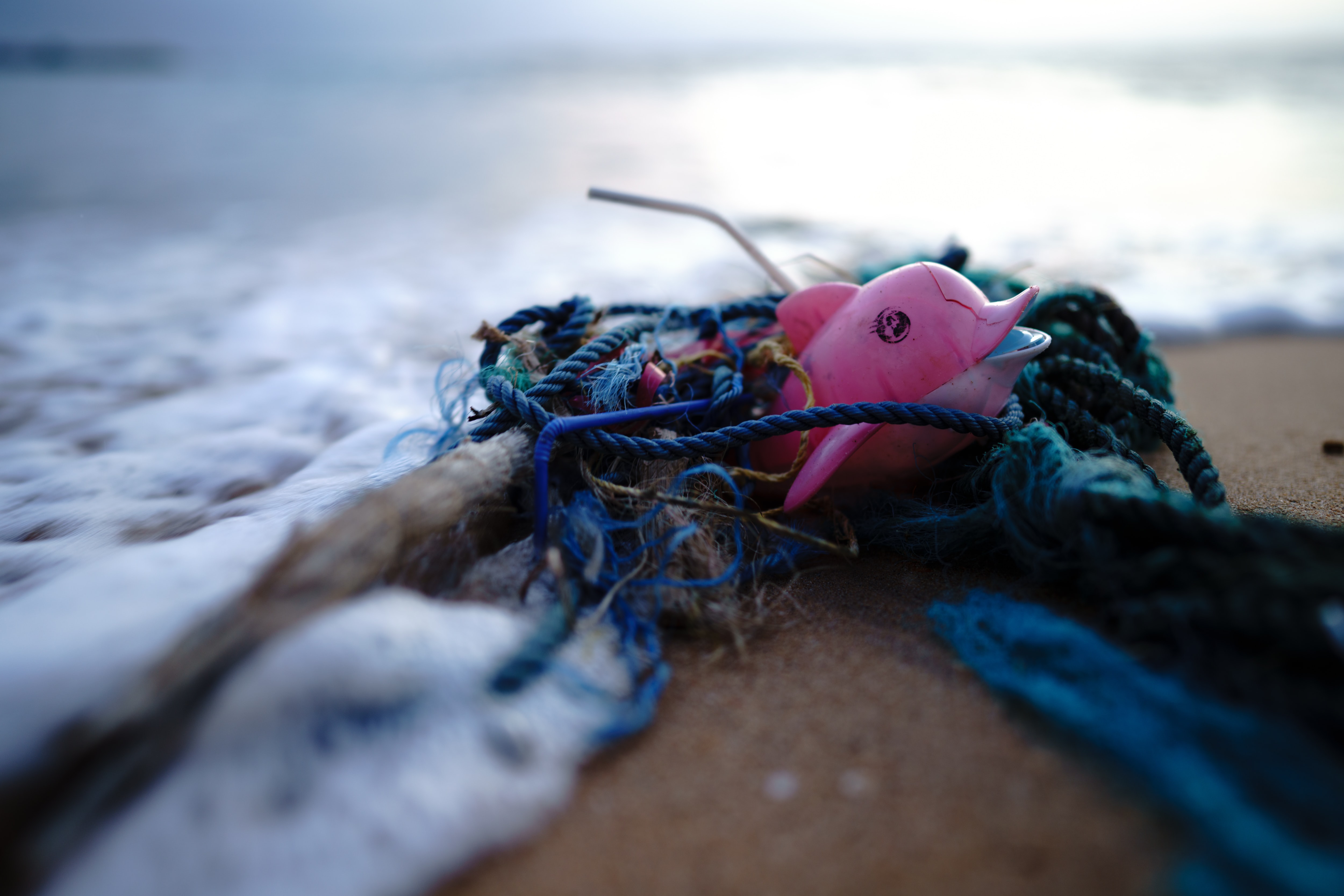
Worldwide, rivers transport 1 million kg of plastic waste into the ocean, every day! The best way to prevent this is to clean up litter while it is still..
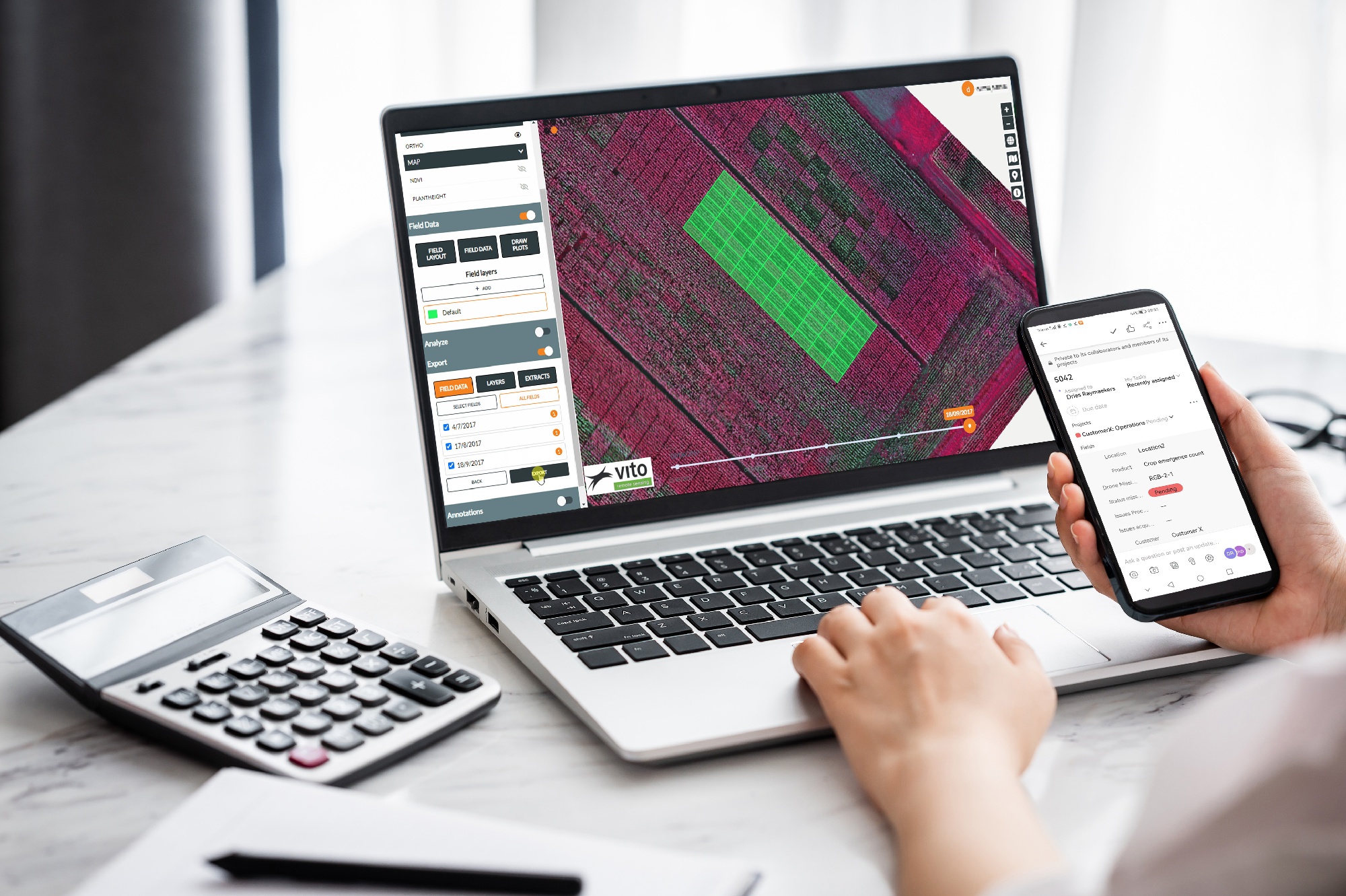
The OpsDrone project, funded by VLAIO, wants to boost the use of drone services for agricultural applications. One of the big future trends we see in..
When using a SaaS platform to manage drone missions and analyze the data delivered, companies expect it to be easy, flexible and completely open. They..
In the Netherlands, Rijkswaterstaat is responsible for the management and maintenance of the main infrastructure facilities including the waterways. In..
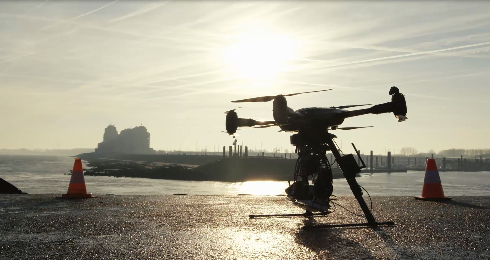
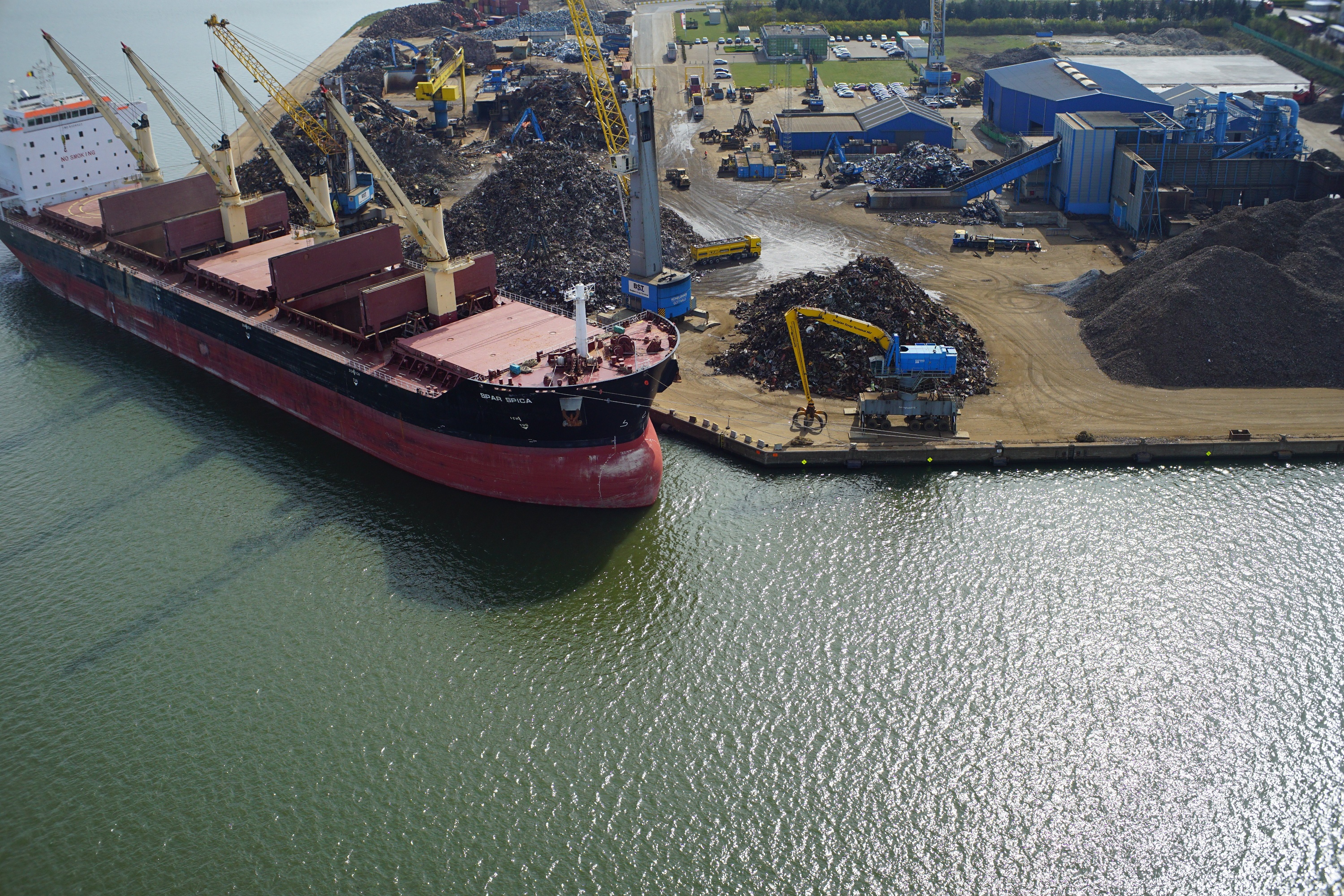
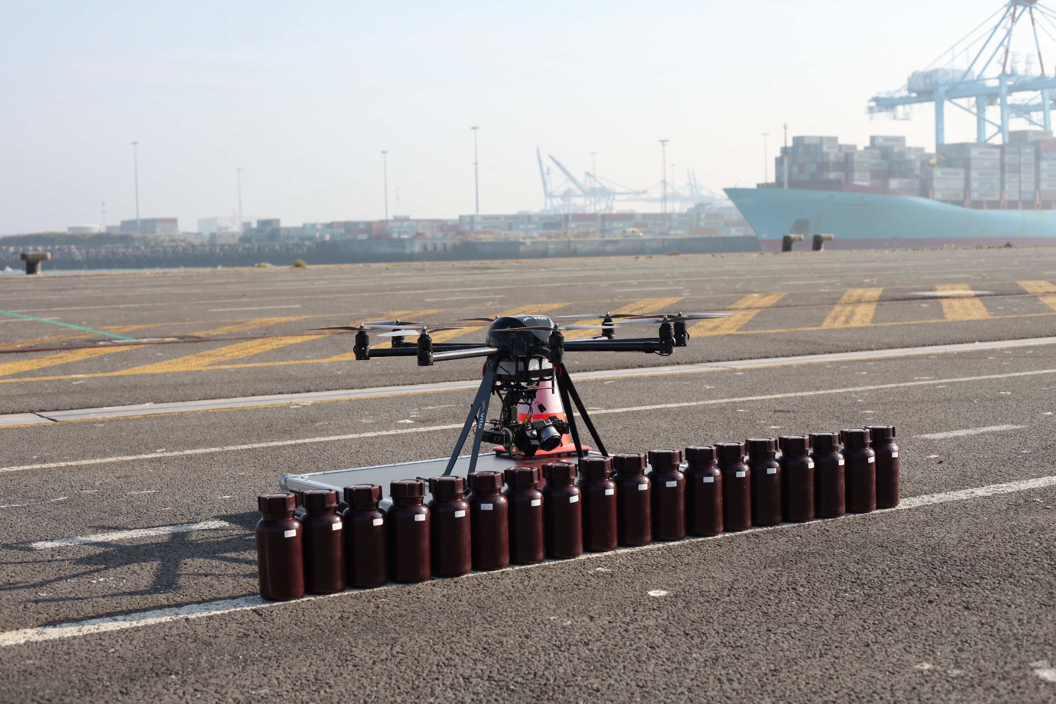
The Port of Antwerp is one of the largest ports of Europe. A massive number of ships arrives every day to load and unload as quickly as possible. No time..
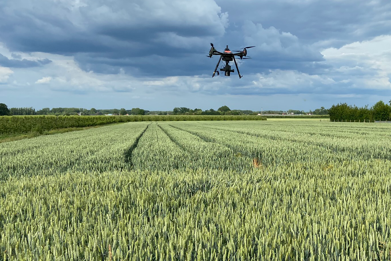
The use of drone imagery has revolutionized plant phenotyping research tremendously over the past few years. You can not only obtain more detailed and..
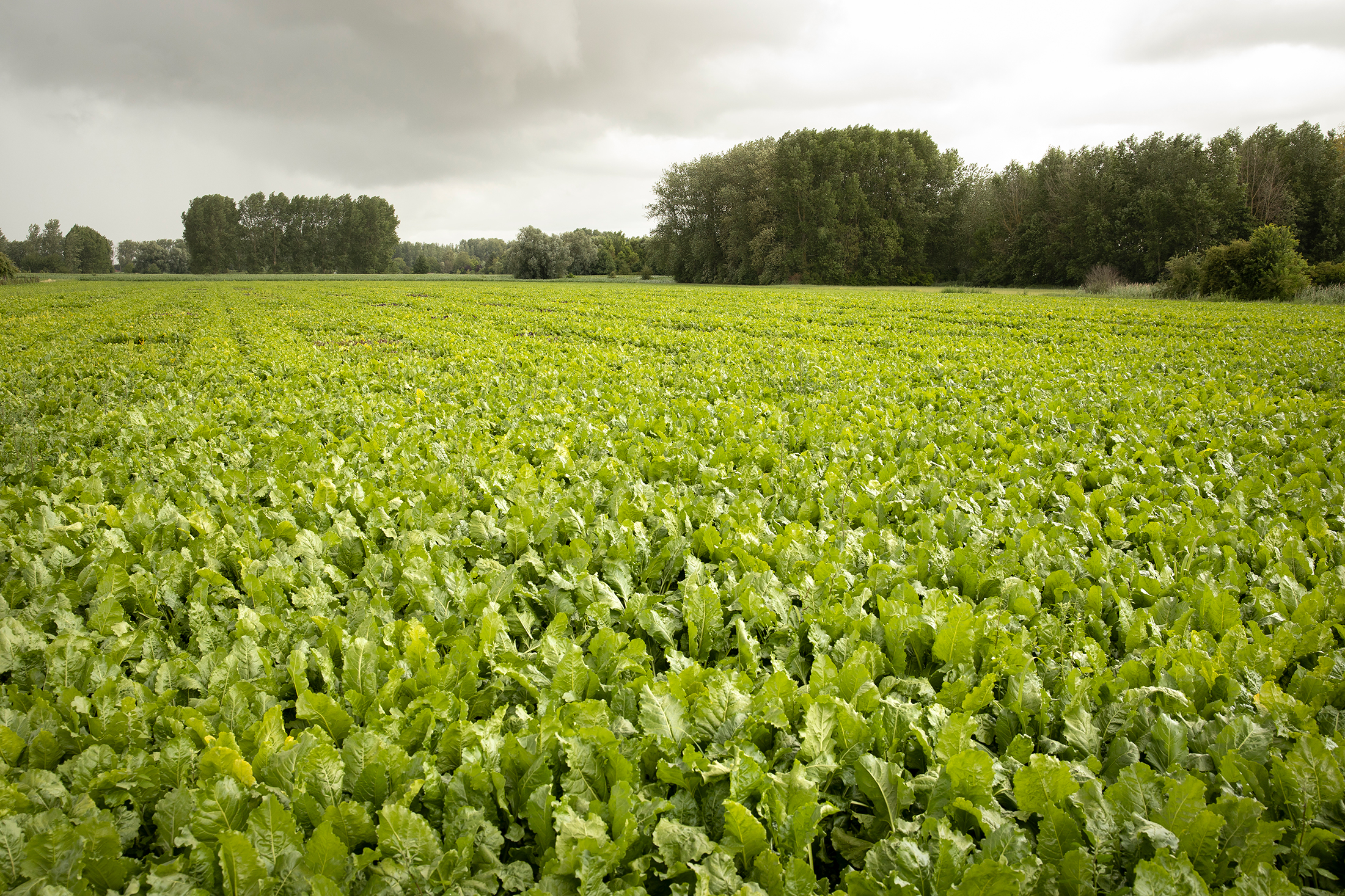
To boost productivity and ensure food security, we need to protect our crops. The use of disease-resistant crop varieties represents an important means to..
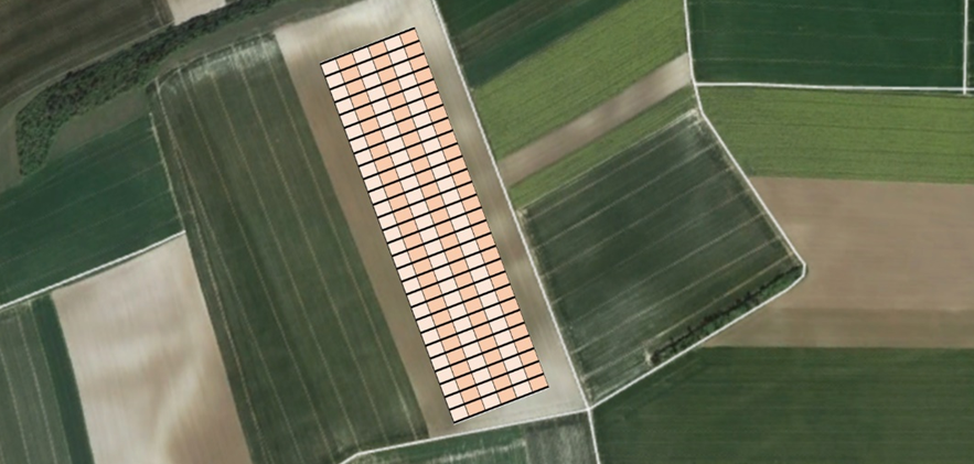
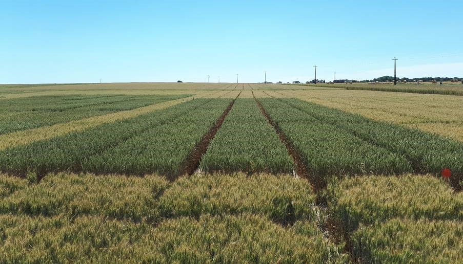
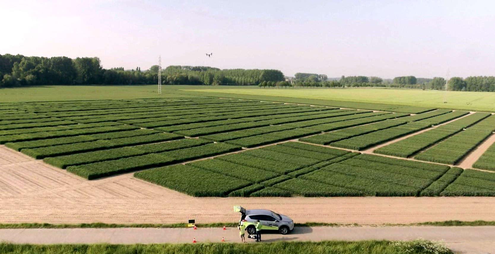
In agricultural field experiments we examine plant traits to evaluate new seeds or agro-chemical products. Ideally the soil fertility is as homogenic as..
Drone imagery has been revolutionary for agricultural research applications; allowing us to understand plants, plant traits and the impacts of various..
Earth observation research is a multidisciplinary research topic and acquiring data for this type of research is not always easy. A lot of organizational..
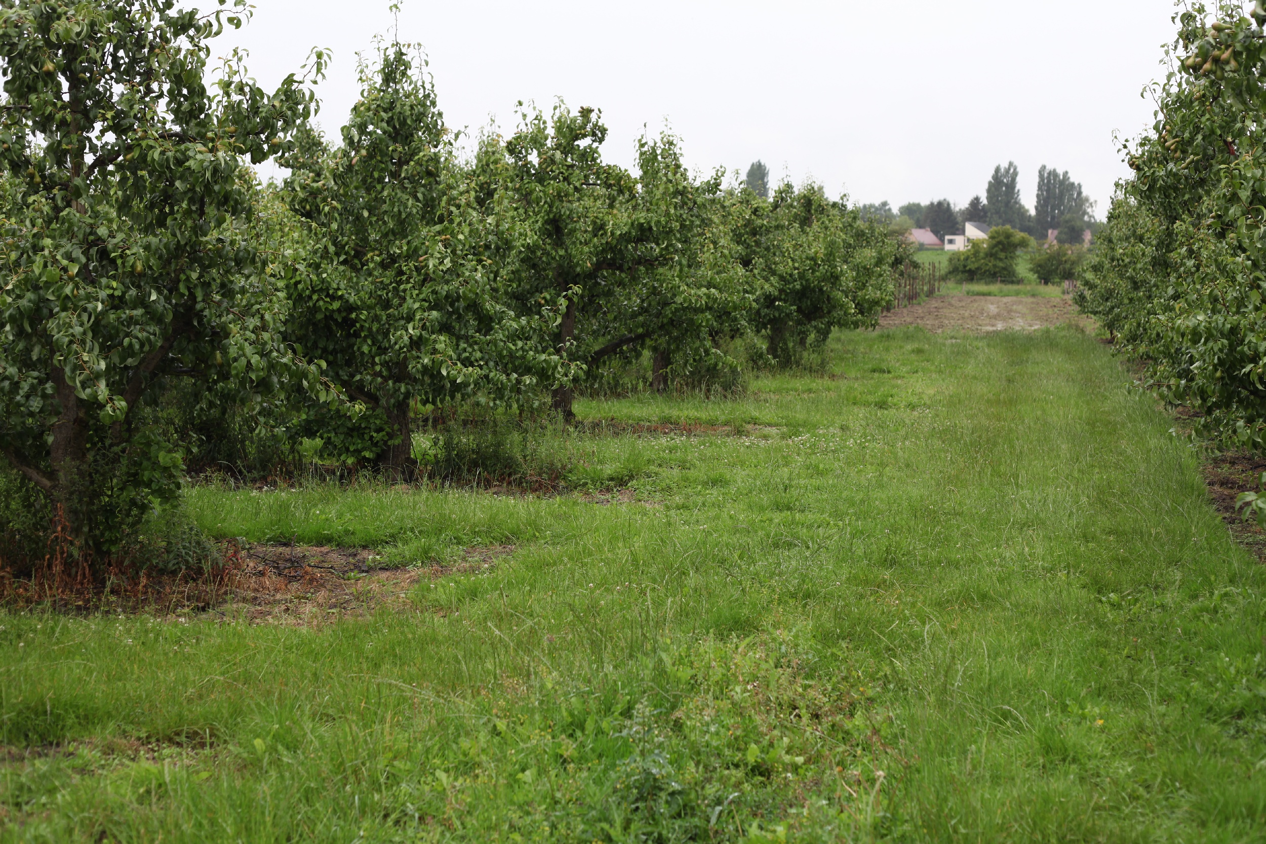
As a fruit grower you want to obtain a rich and profitable harvest at the end of the season. Reducing the number of flowers and fruitlets early in the..
"Agricultural biologicals" is a broad term for naturally occurring substances such as micro-organisms and natural extracts that have the potential to..
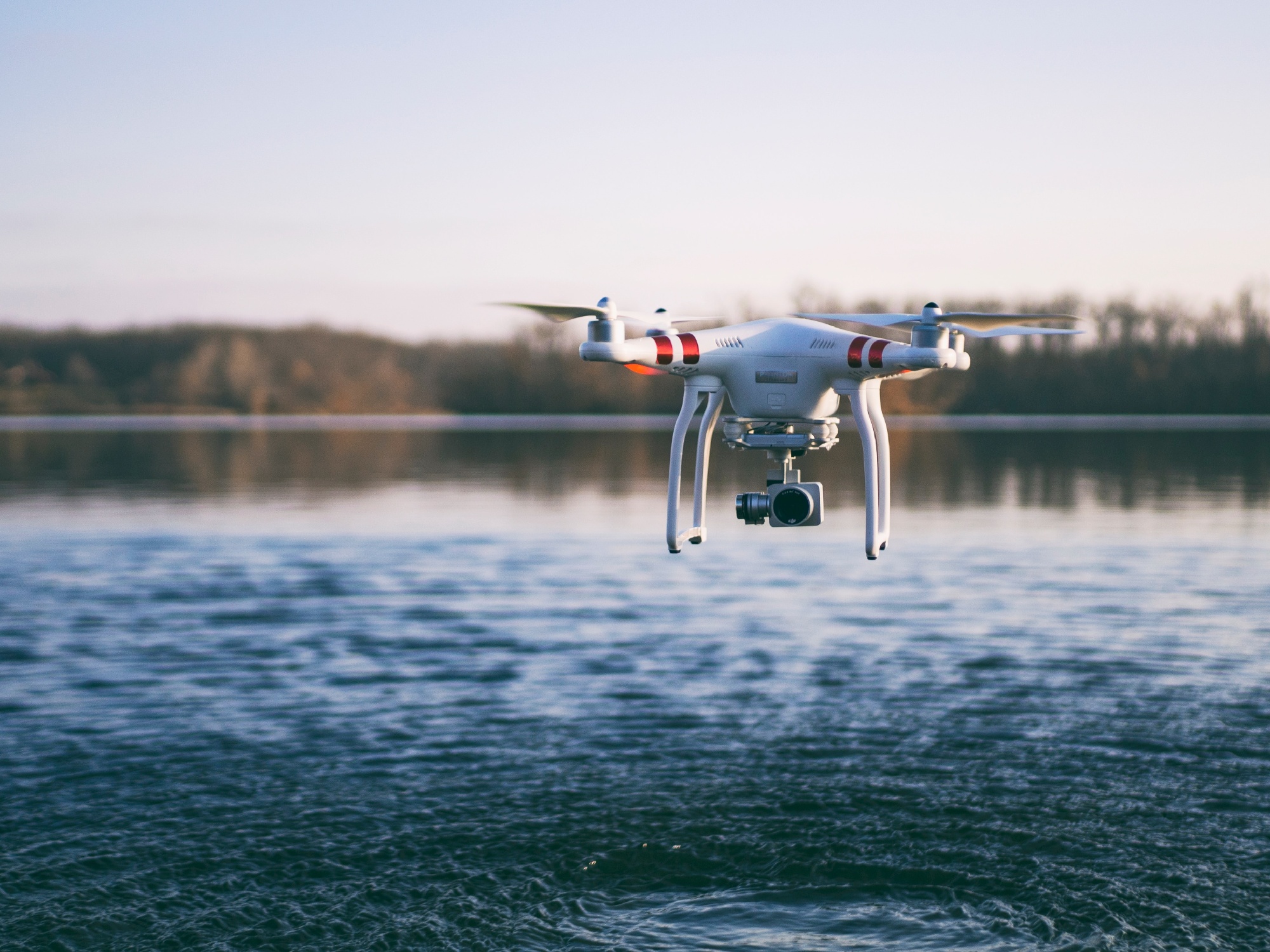
Drones are a popular platform in the world of remote sensing. They are often budget-friendly, flexible to use and allow to monitor hard to reach areas at..
In remote sensing, drone data has become more and more popular over the years. For agriculture monitoring or disaster management but drone data can also..
In today’s world, governments, administrations and private companies rely more and more on geo-information. Critical situation management teams are fully..
As Belgium’s biggest service provider for agriculture and horticulture, AVEVE is continuously looking for innovative solutions. In plant breeding we’re..
Imagine a field, where 10000 variaties are growing in tighly, regularly spaced plots. Welcome to the daily live of plant breeders. Plant breeders observe,..
Drones pop up everywhere. Even in the world of wind turbine inspection. But to set up an automated inspection process however, we need more than a flying..
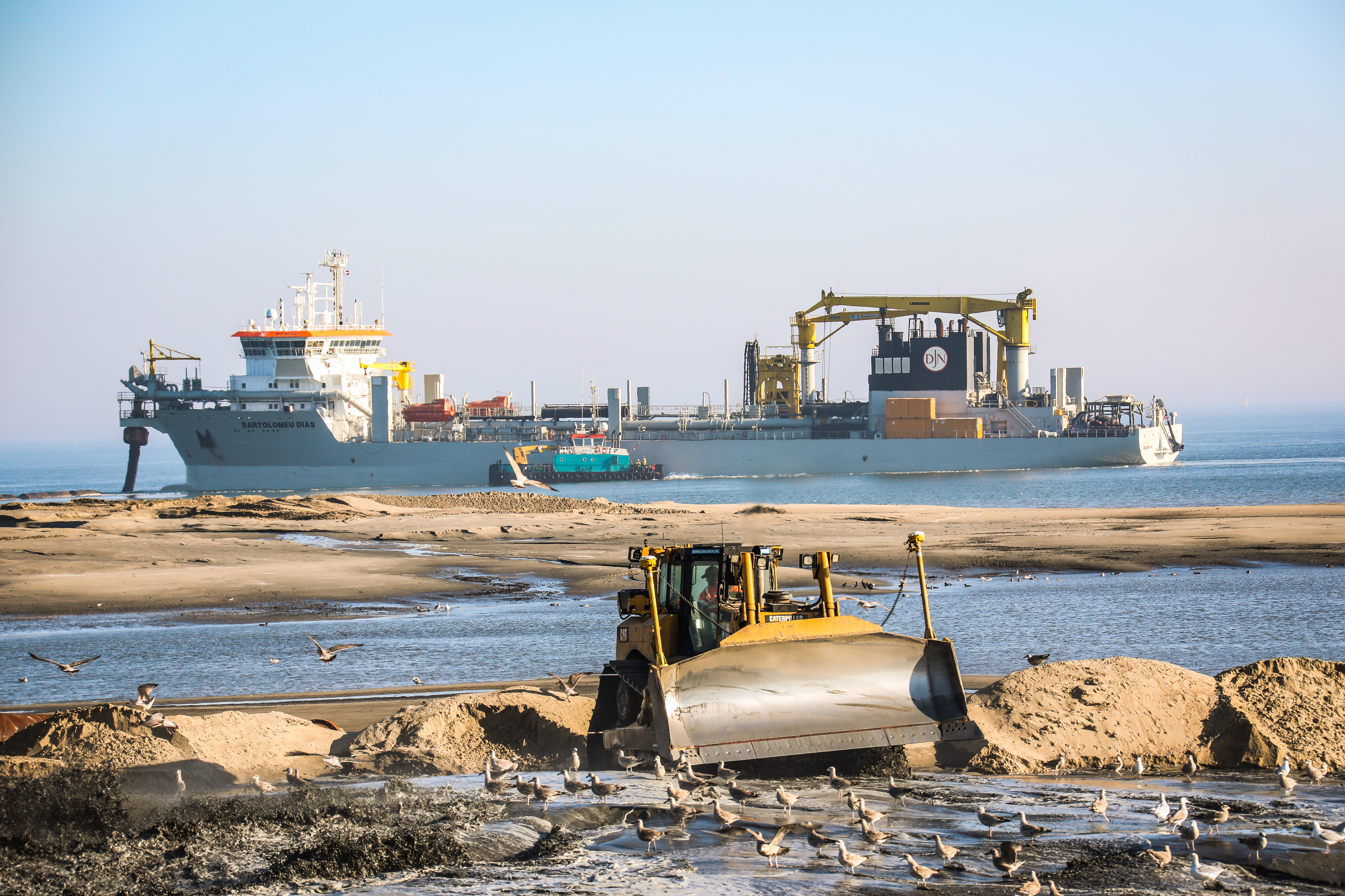
The International Maritime Organization predicts a significant increase in the transport of cargo and goods by sea over the coming decades. Due to this,..
.jpeg)
.png)