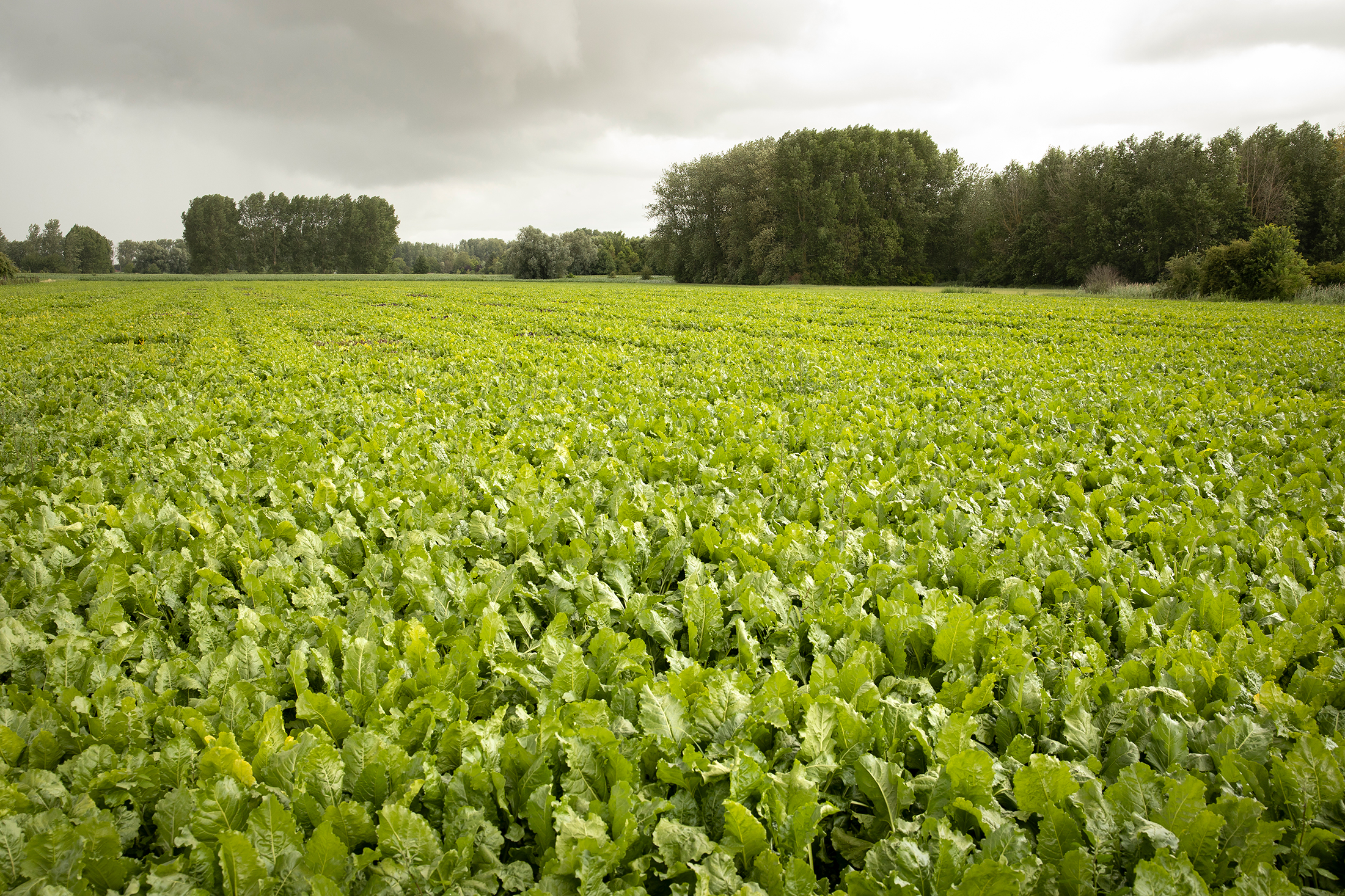
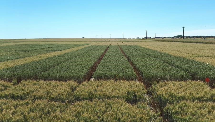
In the quest for sustainable agriculture, innovative approaches are essential to optimize crop performance and enhance biodiversity. One such approach is..
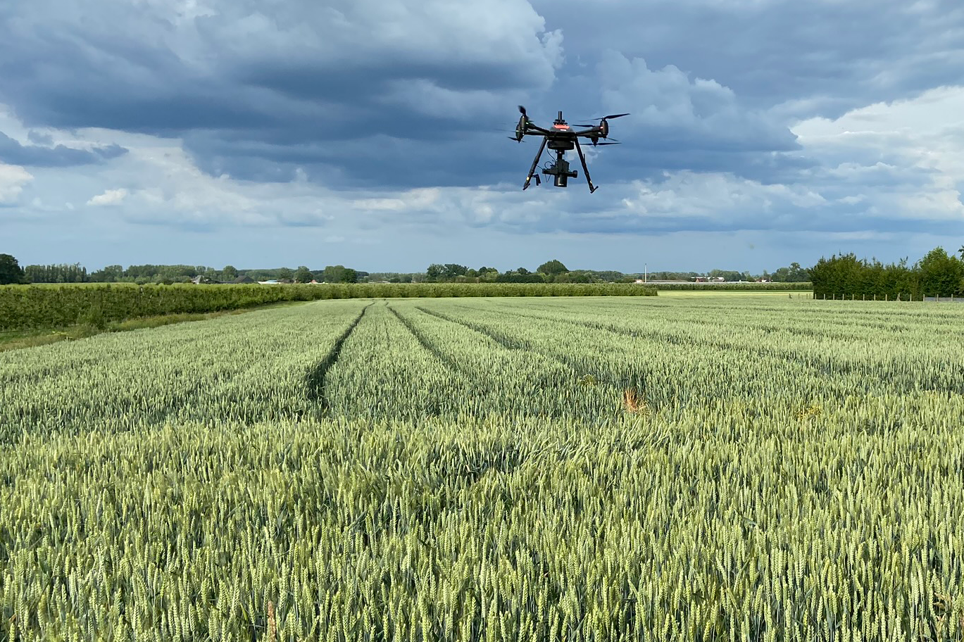
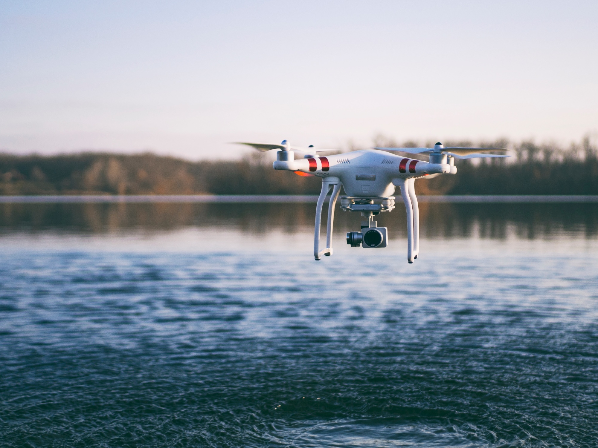
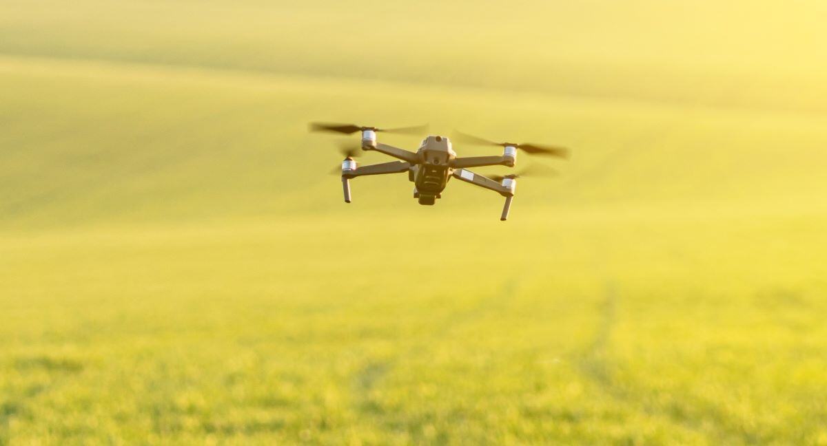
Drones have the potential to transform agriculture by offering detailed and specific insights on crop performance, but the high costs and complexity of..
In modern agriculture, the importance of technology & data has significantly increased in identifying suitable control measures. A notable trend is the..
In the ever-evolving landscape of plant phenotyping, there's a pressing need to get more information about the health and growth of the plants growing in..
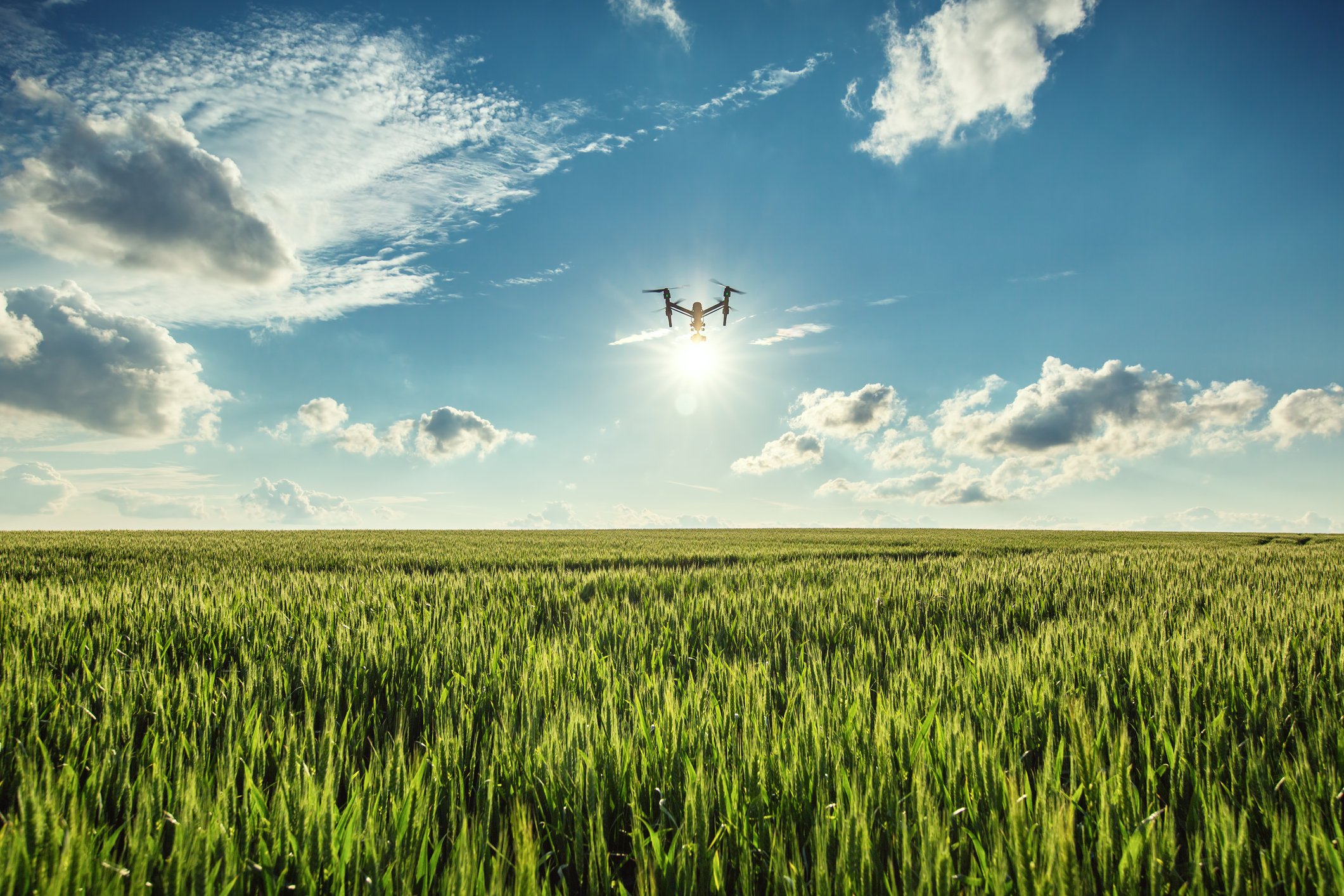
The OpsDrone project, funded by VLAIO, wants to boost the use of drone services for agricultural applications. One of the big future trends we see in..
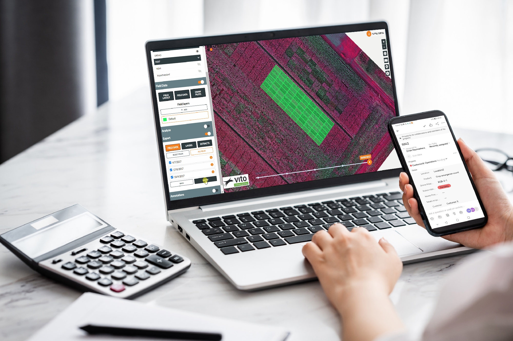
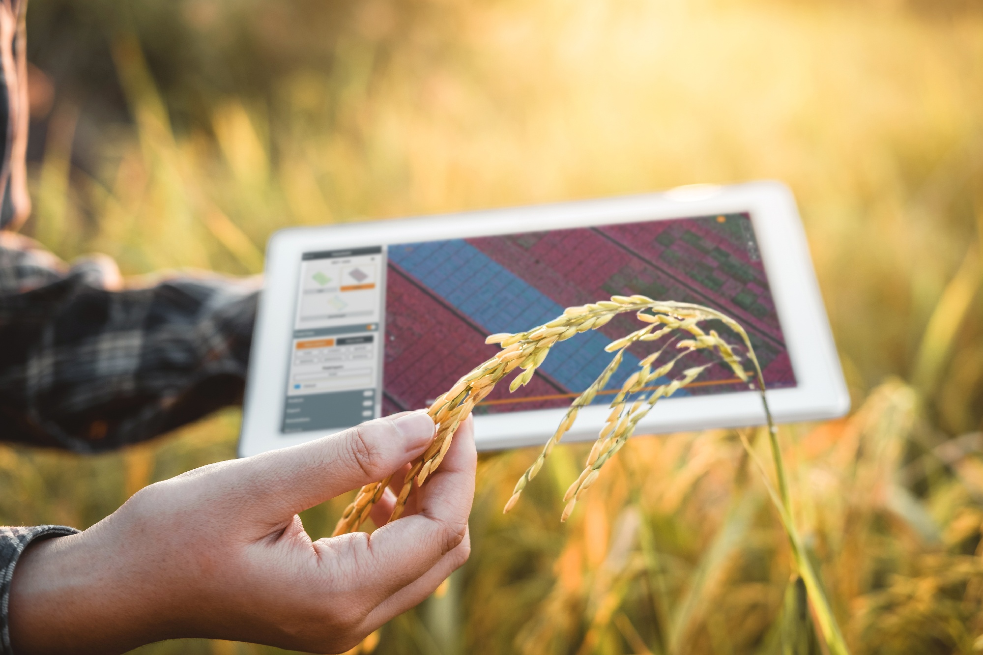
When using a SaaS platform to manage drone missions and analyze the data delivered, companies expect it to be easy, flexible and completely open. They..
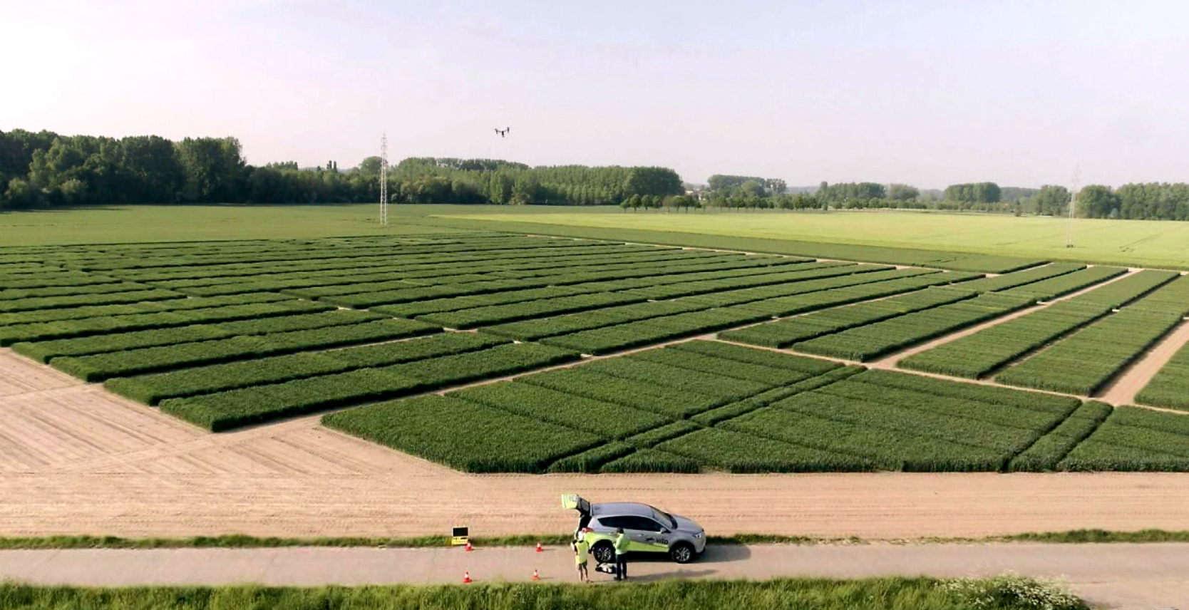
Seed breeding trials are hard work. Companies engaged in seed breeding put a lot of money and effort into maintaining and monitoring experimental plots in
Data driven resource and asset management, and situational awareness applications force governmental organizations and companies to arrange their own..
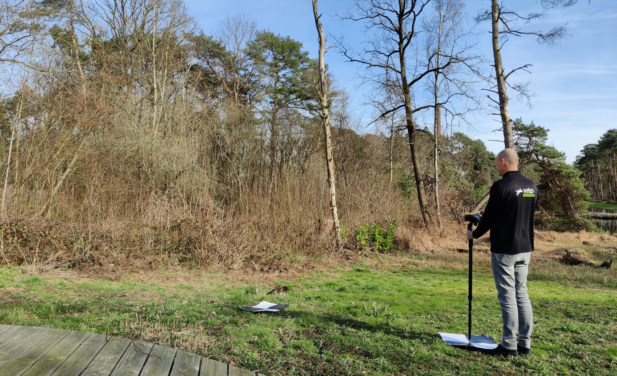
In the framework of the H2020 FOCUS project, an automated workflow has been developed to early detect individual trees affected by the Pine Wilt Nematode..
Remote sensing and agriculture have been a winning combination for a long time. For us it all started in our early years with the start of the EU MARS..
The use of drone imagery has revolutionized plant phenotyping research tremendously over the past few years. You can not only obtain more detailed and..
To boost productivity and ensure food security, we need to protect our crops. The use of disease-resistant crop varieties represents an important means to..
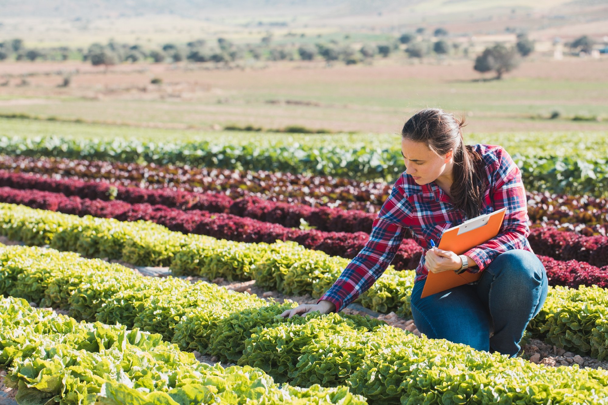
In agricultural field experiments we examine plant traits to evaluate new seeds or agro-chemical products. Ideally the soil fertility is as homogenic as..
Drone imagery has been revolutionary for agricultural research applications; allowing us to understand plants, plant traits and the impacts of various..
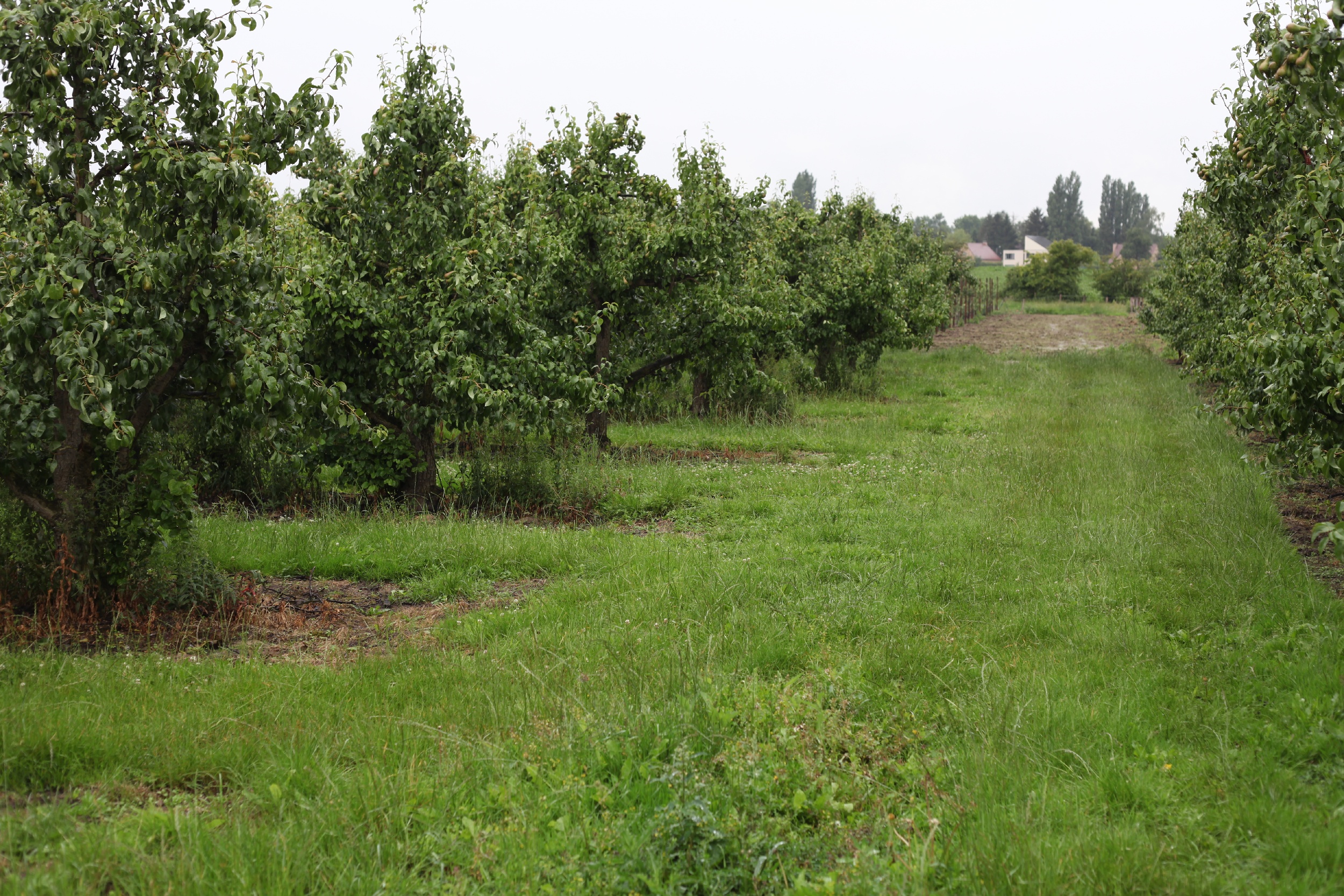
As a fruit grower you want to obtain a rich and profitable harvest at the end of the season. Reducing the number of flowers and fruitlets early in the..
"Agricultural biologicals" is a broad term for naturally occurring substances such as micro-organisms and natural extracts that have the potential to..
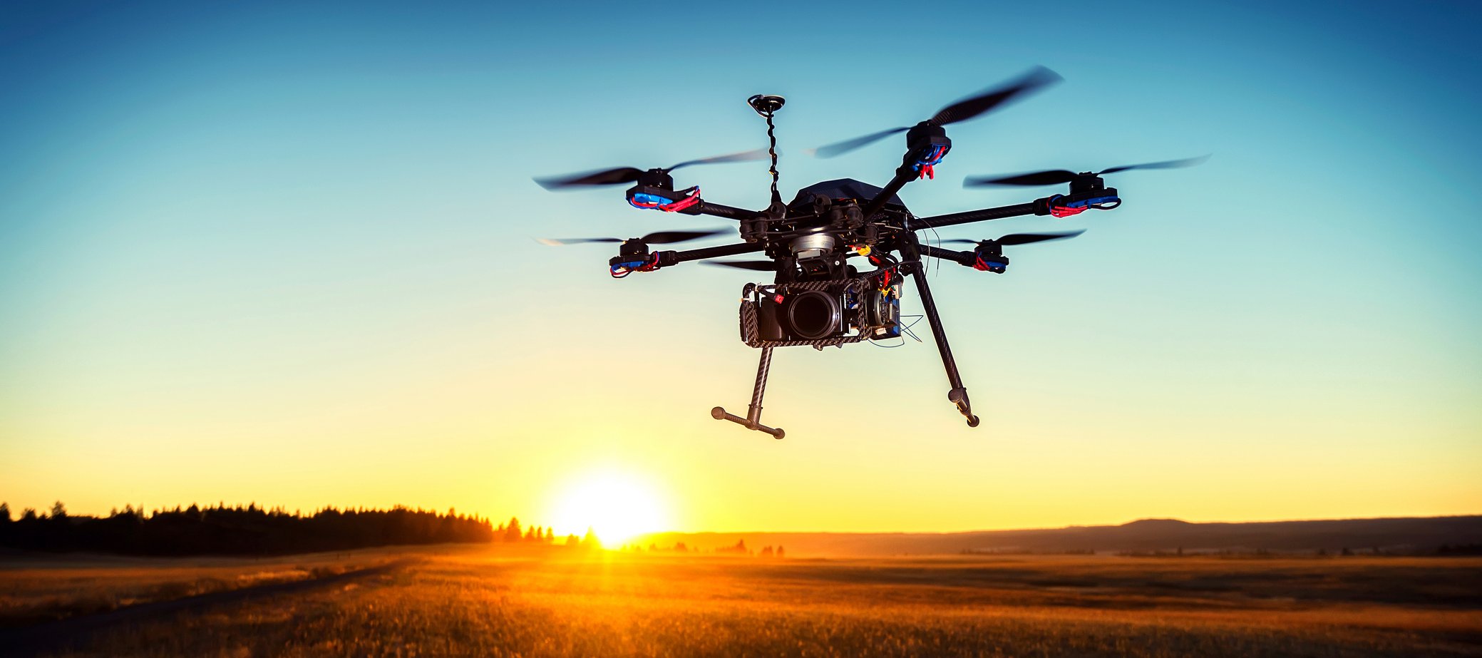
Drones are a popular platform in the world of remote sensing. They are often budget-friendly, flexible to use and allow to monitor hard to reach areas at..
As Belgium’s biggest service provider for agriculture and horticulture, AVEVE is continuously looking for innovative solutions. In plant breeding we’re..
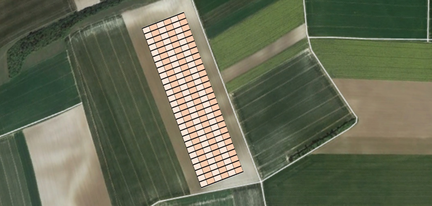
/Blog%20Post%20Strip%20Cropping%20-%20Featured%20Image%201200x650%20150%20ppi.png)
.jpeg)