The Challenge of High Resolution
High-resolution drone images, measured in millimeters or even sub-millimeters, holds immense potential for understanding crop health and performance. Drones offer unmatched detailed operational flexibility, setting them apart from satellite-based solutions. However, achieving this level of detail has traditionally been challenging due to high equipment costs and operational constraints of drone flights.
Traditional drone surveys rely on orthomosaics, which are stitched images created by overlapping individual drone shots. To achieve accurate results, these surveys require substantial overlap (typically 70-80%) between images. This approach leads to large data volumes, long flight times and long processing times. Additionally, the plants must remain relatively still during data capture to enable tie-point matching, which becomes especially difficult when the drone is flying at close distance to the canopy. High-resolution - (sub)-mm - data was until now only possible using very expensive high-end camera systems (see also: https://blog.vito.be/remotesensing/phaseone-mapeo).
But what if we could rethink this process entirely?
Introducing the Innovative Drone Sampling Methodology
To make high resolution drone surveys more practical, we reimagined the traditional drone mapping methodology. We moved away from the state-of-the-art Structure-From-Motion (SfM) technology which relies on high image overlap and developed a drone flight planning strategy with zero or even negative overlap, allowing us to process each drone image separately. This new ‘Drone Sampling’ methodology, developed, implemented, and validated within the MAPEO platform, is a real game-changer.
We’re happy to demonstrate the end2end process.
Step 1: Mission Planning
Our mission planning begins with a new module for MAPEO pilot accounts, which allows users to create a drone sampling mission for a selection of popular DJI drones. The module generates a selection of waypoints, based on the drone camera specifications, the required resolution and overlap. It even accounts for terrain elevation to ensure a constant resolution on the ground. After selecting flight speed and a start position within the field, users can export a final waypoint file, which displays flight time and average height above the ground. . Currently, this module is available for the Flemish region, but later this year, we will expand it to include user-provided Digital Terrain Models (DTM), making it available for any location.
 Drone Sampling - Screen capture of MAPEO Flight Mission
Step 2: Drone Flight
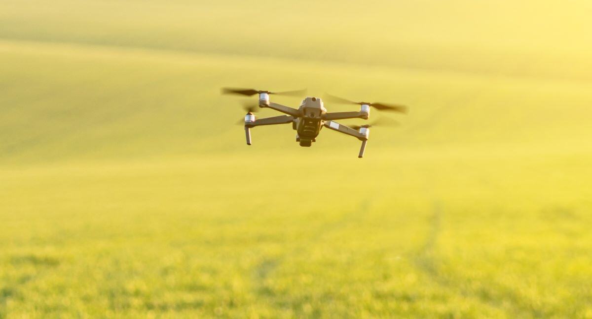
The waypoint file can be easily uploaded to the drone’s controller, allowing the drone to be guided to specific sampling locations in the field at very low altitudes, such as 2-5 meters above the canopy.
This low-flying altitude has 2 major advantages: it generates high-resolution imagery with low-cost equipment, and it minimizes geospatial errors due to drone viewing angles.
We do advise pilots to double check for any obstacle close to the ground and start at the highest point in the field to maintain a clear line of sight at all times. The flight plan can be edited in the controller on-site by the pilot at all times to enable a safe flight operation.
Drone Sampling - Game-changing methodology, high quality, low flights, fast results
Step 3: Image processing
Once the images are uploaded via the MAPEO field software, they are automatically processed using a direct georeferencing workflow and displayed into the MAPEO front-end. The geospatial accuracy of the projected images depend on the flying altitude and the availability of RTK corrections and are typically ranging from a few meters to 10cm. Depending on the application – whether it’s phenotyping, precision agriculture, or scouting - an optimal flying altitude & overlap can be achieved. Advanced AI algorithms and heatmaps further enhance the analysis.
 Drone Sampling - Screen capture of MAPEO Image processing results - potato field
Real-World Applications: testing and validation
Over the past 3 growing seasons, we’ve tested and validated this methodology across various use cases including weed detection, flower and plant emergence counts, wheat-ear detection, and leaf-spot identification. Each time, our pilots and partners were impressed by the level of detail they could achieve with small drones and the time savings both in the field and during image processing.
Use Case 1: Weed Detection
For reliable weed detection, our AI algorithms require mm-level resolution.
Even more details is needed when identifying specific weeds, like in our case Yellow nutsedge (cyperus esculentus). Using drone sampling, we mapped a 1ha field in just 12 minutes with a 500€ DJI Mini 2 drone, a task that would have required +55min of operation with traditional SfM mapping and a 70k€ PhaseOne camera. To date, we’ve completed over 50 successful drone flights with various drone systems to support this use-case, and we’re now building an operational team to scale this application.
 Drone Sampling - Screen capture MAPEO - Example of Weed detection
Use Case 2: Plant Emergence Count
Plant emergence counts have already proven valuable for several crops, and drone sampling enhances this process even further... A drone pilot using our system can optimize flight time by adjusting image overlap to scan the entire field with a single battery.
You can have an idea of the flight time/ha (in minutes) for different resolution and overlap for the Mavic 3E/M with a flight speed of 3m/s.
| Resolution / Overlap | Traditional (80%) | 10% | 0% | -50% | -100% |
| 1 mm | 171' | 13' | 12' | 9' | 7' |
| 2 mm | 94' | 7' | 6' | 4.5' | 4' |
| 5 mm | 15' | 2' | 2' | 2' | 1' |
| 1 cm | 6' | 1' | 1' | 1' | 1' |
Additionally, our direct georeferencing technique minimizes geo-location errors, ensuring accurate data collection even at higher flying altitudes.
Join us for a Live Demonstration?
Are you interested in learning more?
We’ll be showcasing the new drone sampling method, including mission planning, flight operations, and image processing, during the OPSDRONE workshop at ILVO, Belgium on September 26, 2024 (only in Dutch).
Don’t miss this opportunity to see how our innovative approach can revolutionize agriculture.
Register now!

/Blog_WorldCereal_1200x650.png)
/lewis-latham-0huRqQjz81A-unsplash.jpg)
/background_image_blog.jpg)