See the bigger picture on PRISM

By Steven Krekels 15 February 2017
Welcome to PRISM. Just like a prism splits the light into a spectrum of colors, VITO Remote Sensing will use this blog to show you how fascinating Remote Sensing really is, and how it can help you understand what is happening around you.

Remote sensing, to move you forward

Geo data and insights can be a benefit for companies, authorities and the general public. But they all have different needs for information, so tailored applications are important. Thanks to a variety of Remote Sensing products and services, we will tell you how we can measure water quality from space, how we help define new satellite missions to monitor global vegetation on a daily basis, how we can predict crop yields by combining multiple data sets, how we reach out to local users in developing countries, and much more.

Our knowledge in full spectrum

It’s clear: the list of possibilities is huge. With a team of more than 90 experts, VITO Remote Sensing will give you a hands-on view on how we work to understand your specific needs and how we deliver end-to-end solutions as well as operational services to provide you with the insights you need. No hard complexity, no large risks, just clear and useful information.

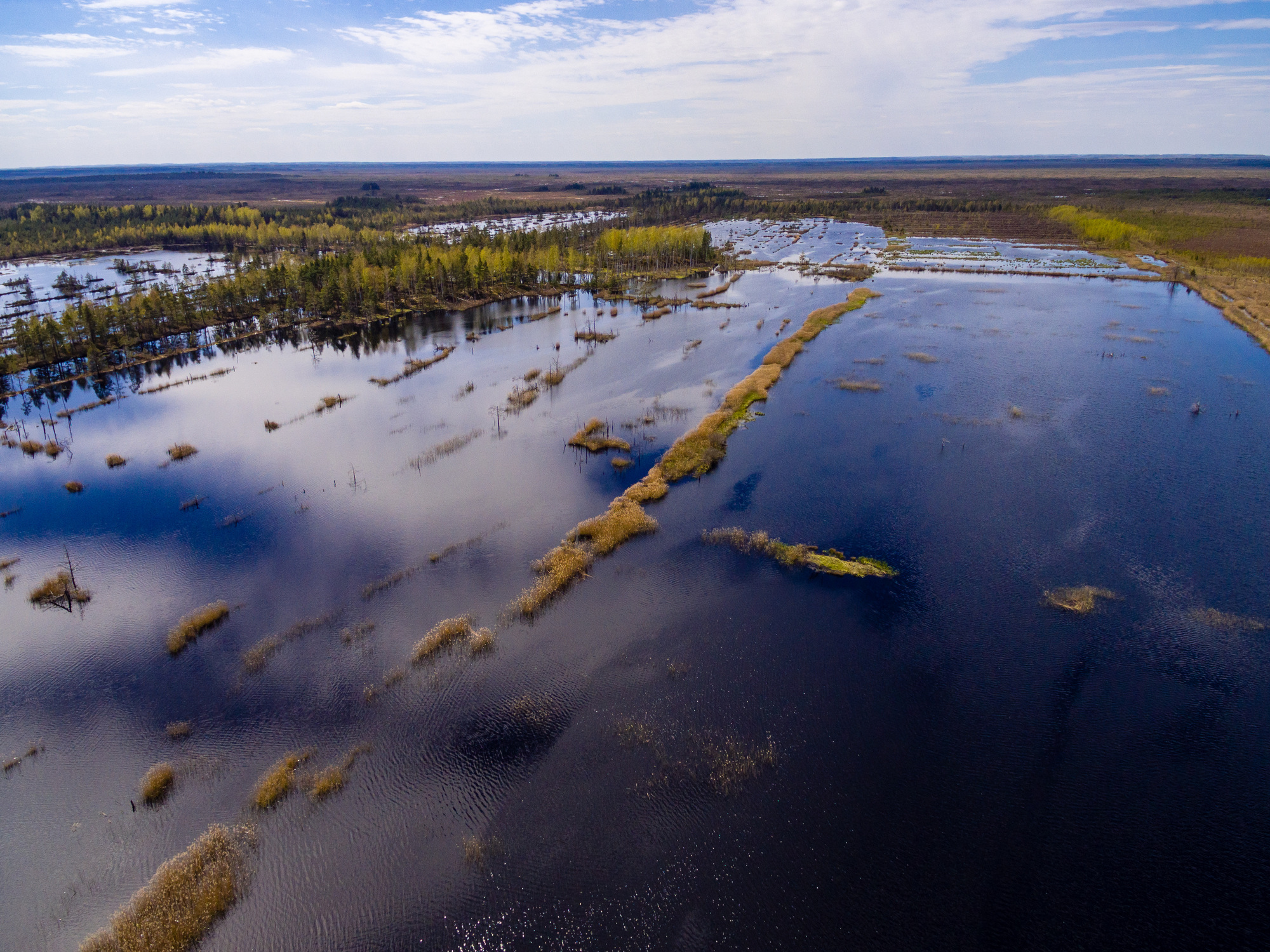
Blogpost-1_S1_TOC_20150421_100M_Oceania_Australia_South_LakeGairdner_SNB-edit.jpg

VITO Remote Sensing. See The Bigger Picture.

Find out more on http://remotesensing.vito.be

Like this article? Share it on
Steven Krekels
An article by
Steven Krekels
Director Valorisation Environmental Intelligence Unit
More info about Steven Krekels
Share

Related posts

Leveraging satellite data and AI for environmental policy support
  • Remote Sensing ,
  • Satellite ,
  • deep learning ,
  • AI ,
  • water quality monitoring ,
  • Flanders

Leveraging satellite data and AI for environmental policy support

By Lisa Landuyt 22.10.2024

The Copernicus Sentinel satellites monitor the Earth’s surface with high spatial and temporal resolution. The images are openly available, but translating..

Lees meer
Safeguarding the access to the Port of Antwerp using GIS
  • Remote Sensing ,
  • dredging ,
  • GIS ,
  • Port of Antwerp

Safeguarding the access to the Port of Antwerp using GIS

By Bart Deronde 17.02.2020

The Port of Antwerp is a major economic player in Belgium housing ca 900 companies, among which the biggest and most diverse chemical cluster in Europe...

Lees meer
Tailored placements for students from De Lift Education
  • Remote Sensing ,
  • deep learning ,
  • AI ,
  • Passwerk ,
  • De Lift

Tailored placements for students from De Lift Education

By Bart Beusen 27.01.2020

Young people with autism often have a special talent for specific tasks, e.g. repetitive tasks that require long attention spans, or for tasks on..

Lees meer