All posts for
crop-mapping

WorldCereal: Empowering Global Crop Mapping with Custom Data and Cloud Tools
  • Remote Sensing,
  • Agriculture,
  • Earth Observation,
  • Food Security,
  • WorldCereal,
  • Crop Mapping

WorldCereal: Empowering Global Crop Mapping with Custom Data and Cloud Tools

By Kristof Van Tricht 19.06.2025
WorldCereal is breaking new ground in the way we monitor crops from space. As a global, open-source crop mapping system funded by the European Space..
Read more
New Copernicus High-Resolution Layer on Croplands Launched for Europe
  • Agriculture,
  • Crop Monitoring,
  • Copernicus,
  • OpenEO,
  • High Resolution,
  • Crop Mapping

New Copernicus High-Resolution Layer on Croplands Launched for Europe

By Kasper Bonte 28.05.2025
Cropland is one of the most dynamic land cover types, responding rapidly to evolving agricultural policies and changing climatic conditions. Yet, despite..
Read more
Collecting super high resolution drone data for crop monitoring
  • Crop Monitoring,
  • drones,
  • MAPEO,
  • drone based phenotyping,
  • Crop Mapping

Collecting super high resolution drone data for crop monitoring

By Dries Raymaekers 12.06.2023

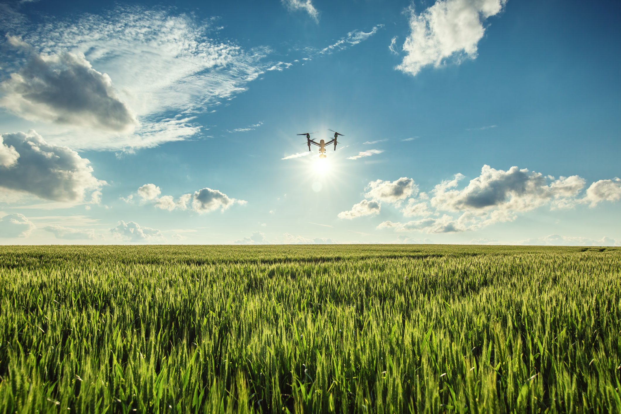
The OpsDrone project, funded by VLAIO, wants to boost the use of drone services for agricultural applications. One of the big future trends we see in..

Read more
WorldCereal, mapping global agriculture at field scale
  • Agriculture,
  • Crop Monitoring,
  • ESA,
  • WorldCereal,
  • Crop Mapping

WorldCereal, mapping global agriculture at field scale

By Sven Gilliams 16.11.2020

ESA’s WorldCereal project aims to develop an efficient, agile and robust EO based system for timely global crop monitoring at field scale. This is a huge..

Read more