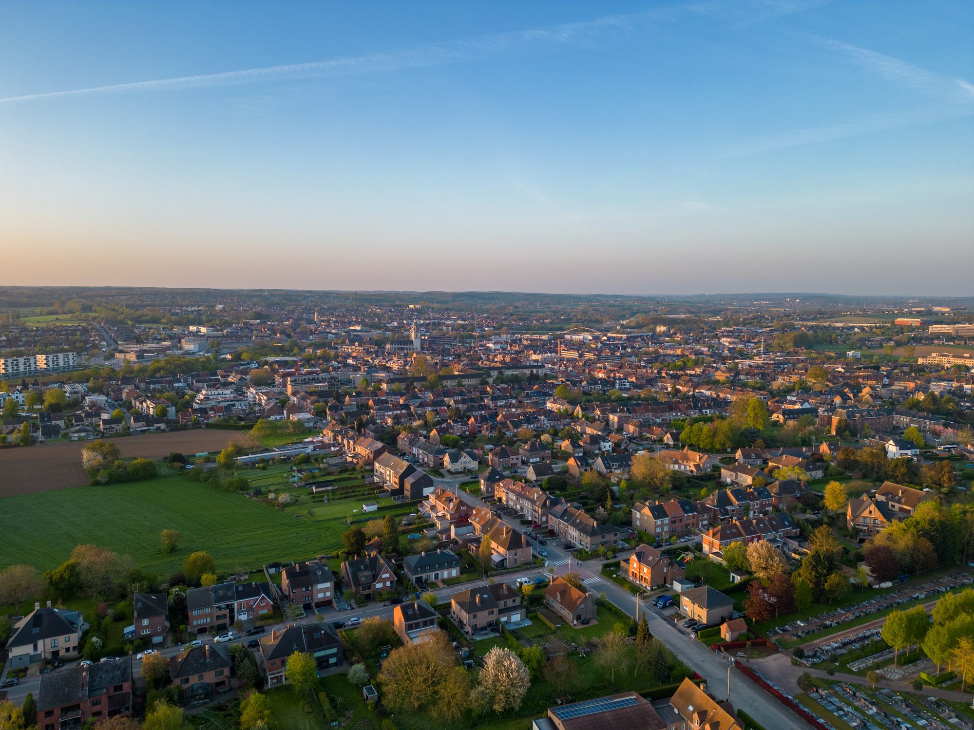
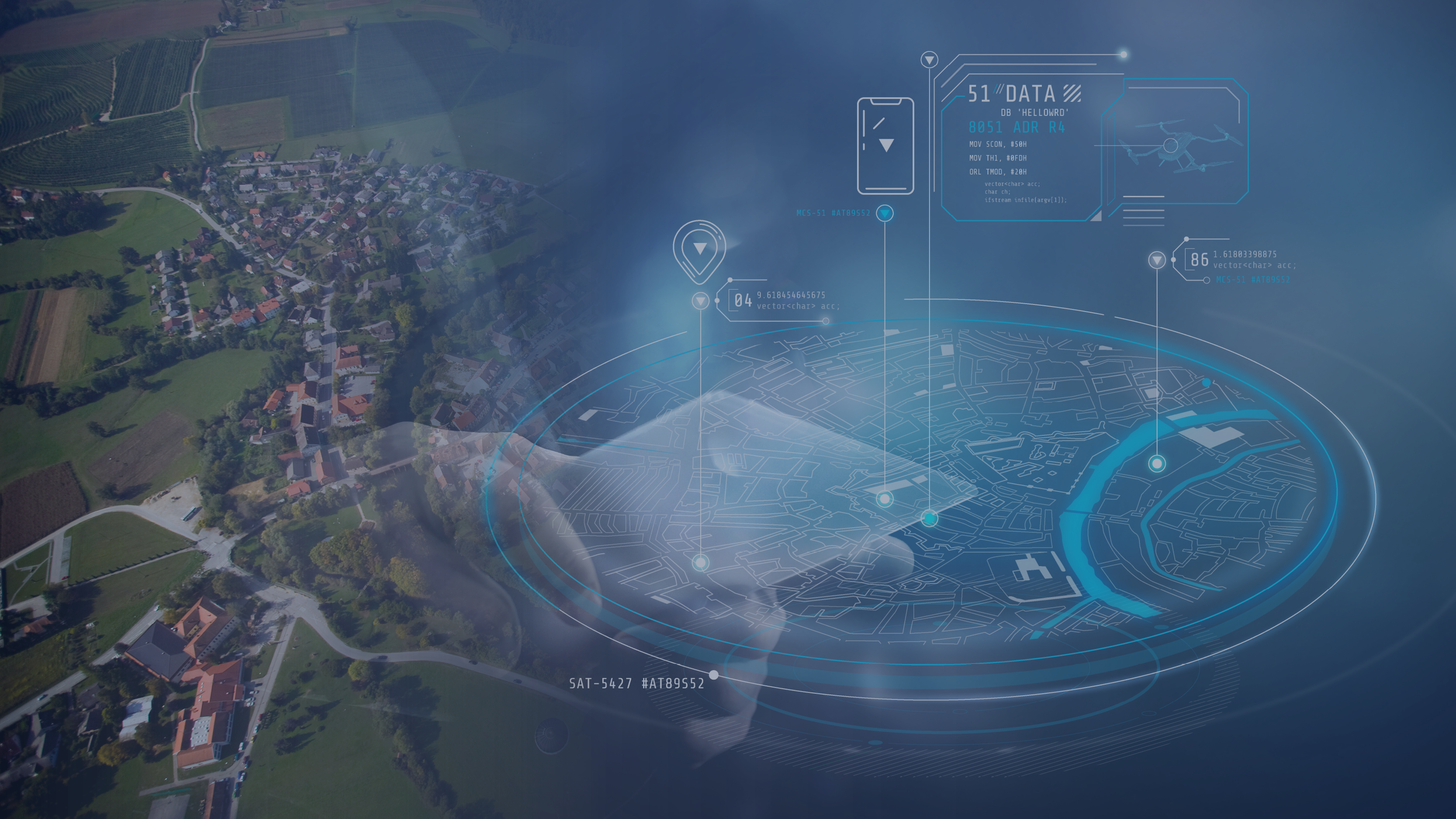
Data driven resource and asset management, and situational awareness applications force governmental organizations and companies to arrange their own..
The Sentinel-1 and Sentinel-2 satellites continuously provide new high-quality Earth observation (EO) data. This means that for Flanders we can access new..
Drones pop up everywhere. Even in the world of wind turbine inspection. But to set up an automated inspection process however, we need more than a flying..
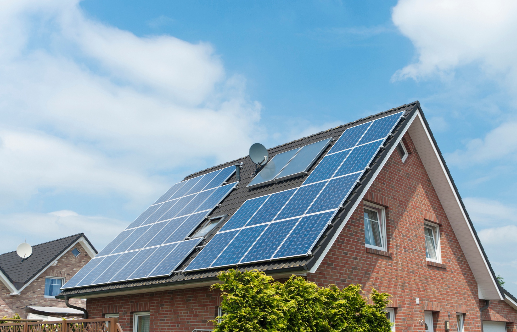
For many years now, the Flemish government has been encouraging its citizens to use renewable energy, and solar power in particular. But how do you know..