Optical monitoring of coastal water, lakes and estuaries
Let me introduce you to MONOCLE or shall I say Multiscale Observation Networks for Optical monitoring of Coastal waters, Lakes and Estuaries. It is our goal to create sustainable optical in situ observation solutions for water quality in inland and transitional waters. Coordinated by Plymouth Marine Laboratory (UK), 12 international organisations will test and demonstrate new techniques under different site conditions. Whether you are an expert or an enthusiastic hobbyist, the project focusses on solutions to improve the insitu component of Earth Observation.
A need for global reference measurements
Given the digital revolution currently taking place, many new tools and techniques emerge at an affordable price for commercial companies and even hobbyists. The goal of MONOCLE is to develop such new in situ sensors or methodologies and to promote the acquisition of in situ measurements. When more reference measurements close to the water surface become available around the globe, this will help to improve the satellite products or fill up gaps satellites leave as a result of the revisit time or cloudiness. By decreasing the uncertainty of space-borne measurements we can increase the confidence in water quality products, for example.
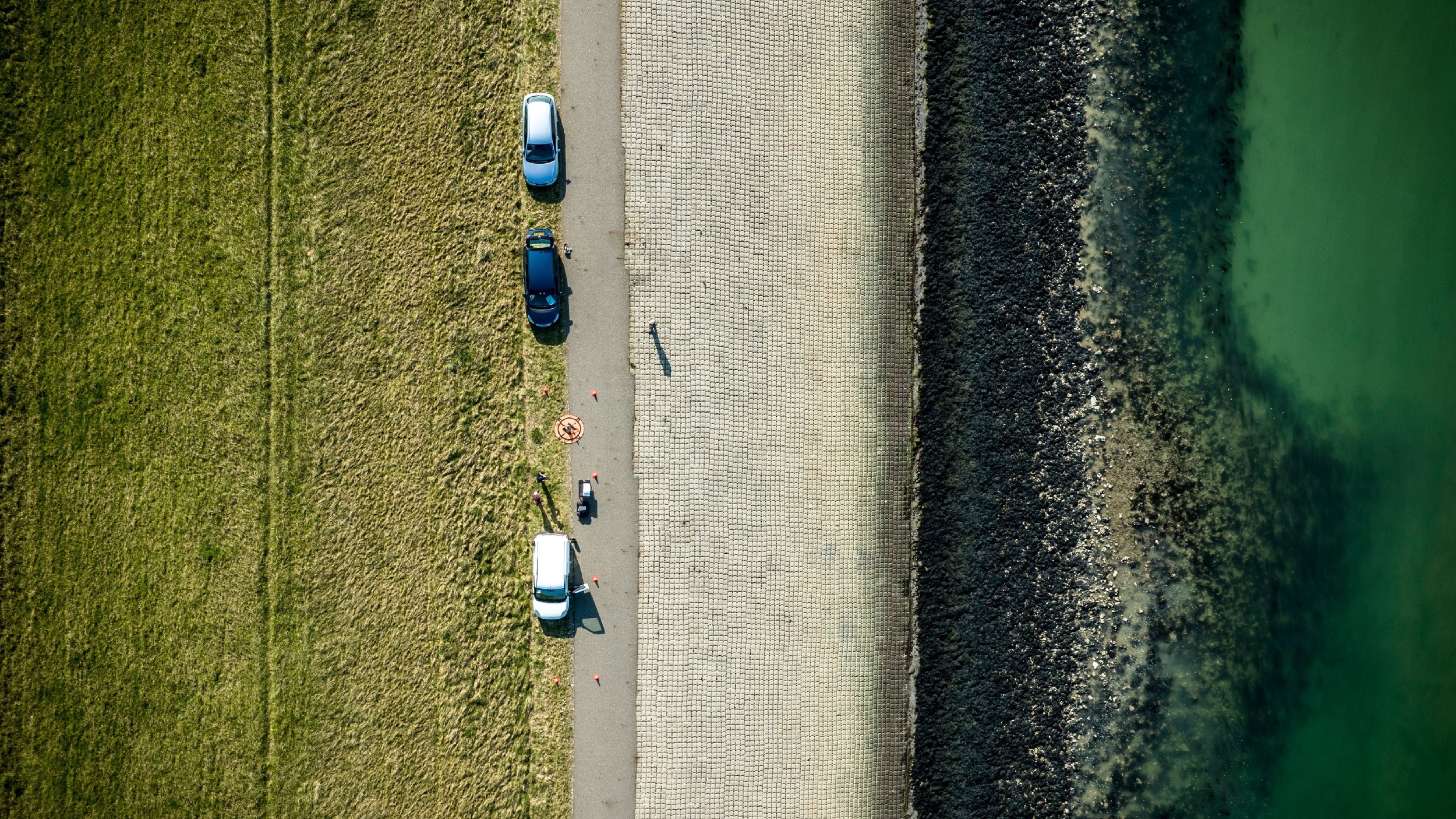
Within the MONOCLE project, our water & coast team here at VITO Remote Sensing will focus on applying drones to map the water reflectance in general and to derive some optical water properties like TSM (Total Suspended Matter) and chlorophyll-a. The idea is to compare the more sophisticated and expensive multi-and hyperspectral sensors (higher accuracy) with low-cost RGB systems mounted in a standard way under a commercial drone (easy-to-use).
Improving the accuracy of Earth Observation products
While the Copernicus programme of the European Union is gaining full speed, a lot of work remains to be done in order to increase the accuracy of satellite-based measurements. In order to achieve this, many in situ measurements are needed for calibration and validation purposes.
One of the main issues at the moment regarding satellite data for optical water measurements is the passage of the sunlight through the atmosphere. The influence of this layer on the recorded data is not straightforward to characterise. Different atmospheric correction models like iCOR are therefore needed to correct the data turning it into high quality and accurate data. In situ data will help to reduce the uncertainty of the results provided by these models.
Citizen Science is the word!
Almost everybody has a smartphone nowadays. A nice gadget to call, check your e-mail, …, but it is also a relatively strong calculator almost always available in our pockets. With a smartphone, a drone or even an easy-to-use toolkit you are set to make “useful” measurements. All these “toys” are becoming gadgets people find interesting to play with. Why not call upon these enthusiasts to help us make measurements worldwide? It can be a win-win situation for society!
Furthermore, by making tools available for non-specialized citizens, this can help in whetting the appetite of children and adolescents for science in general. People are able to make water quality measurements and thus help to improve the environment in their neighborhood. This might be a game-changer, especially in remote areas or in developing countries.
Let us take you on a journey where science is spread through the citizens. Follow us via the MONOCLE website and on Twitter, @MONOCLE_H2020, and stay informed about the project’s progress, results and impact.
 |
|
WATER & COAST
WATER & COAST

