Optimizing fertilization and irrigation practices
Nitrogen fertilizers enhance the growth of plants. However, if the amount of fertilizer is too high or if the soil is too dry the plants do not absorb it completely. Excessive nitrogen is then leached out when it rains and ends up as nitrate in the groundwater and other water bodies. To avoid overfertilization and environmental pollution, better assessment of crops’ nitrogen uptake and guidelines for optimal supply of nitrogen are needed.
Next to that we’re also facing more severe droughts. Farmers are hereby encouraged to invest in irrigation machinery. But agricultural irrigation consumes huge amounts of fresh water. Savings of even small proportions of these withdrawals are therefore important with respect to improving environmental water flows and the supply of water for human consumption.
Improved water and nitrogen application and especially co-scheduling of the two growth factors can help farmers to deal with these environmental challenges. But what can a farmer do in practice?
Combining data, experience and knowledge
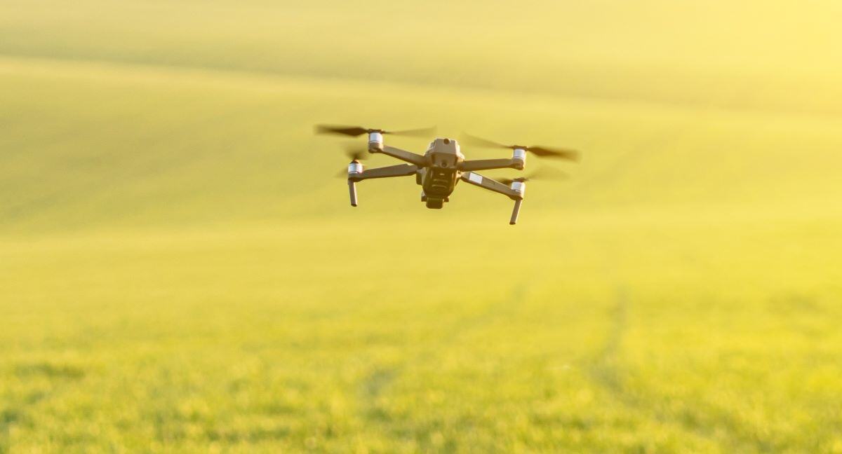
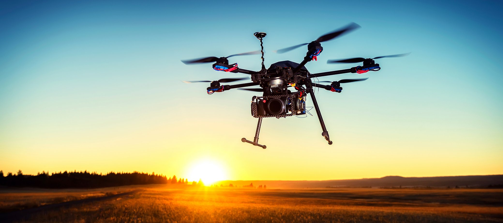
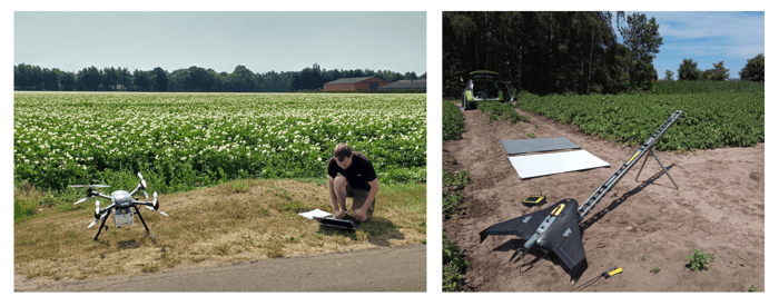
First of all, it is important to have a clear overview of your field. Precision farming is based on observing and responding to intra-field variations. Decades of research have already demonstrated that important information can be collected remotely, via aircraft-, drone- and satellite-based sensor systems. These systems can offer detailed pictures of your fields at regular times. This is a cost effective way to monitor the crop’s state and to detect spatial variability within the field.
But a correct interpretation of the images is crucial! Satellite or drone data reveal a ton of information about the plants’ state, but knowing the physico-chemical state of the crop is not always sufficient to guide management practices. For a correct interpretation of satellite or drone images and to find out what is causing intra-field variability, it is important to combine the images with other sources of information such as soil maps or soil scans, elevation maps, weather data or field observations. The knowledge and expertise of the farmer remains of course crucial.
Towards variable rate fertilization and irrigation
Zone-specific application of water and fertilizers is considered a powerful tool. It allows you to:
- optimize water and nitrogen use efficiency locally
- reduce losses to the environment
- save costs at the same time
While machines are available for zone-specific nitrogen fertilization and even irrigation, in practice, irrigation and fertilization scheduling is mostly based on decision support systems that treat the field uniformly. By including information on spatial variability to these systems farmers will be able to adopt variable rate fertilization and irrigation.
Implementing spectral data in practice
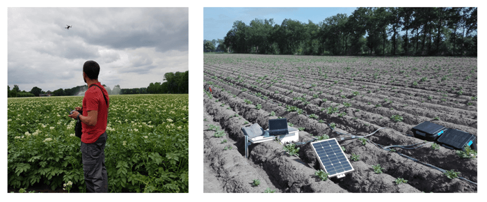
We've joined forces with remote sensing experts from VITO to introduce spectral data from satellites and drones into farmers irrigation and fertilization practices. In the frame of the POTENTIAL research project we set up field trials in potato and assessed the response of spectral data of drones and satellites to changes in water and nitrogen status.
During three successive years (2017-2019) we analyzed and monitored:
- soil properties (soil water and nitrogen content)
- crop development (stomatal conductance as a measure for water stress, tuber yield)
- spatio-temporal variation in the field
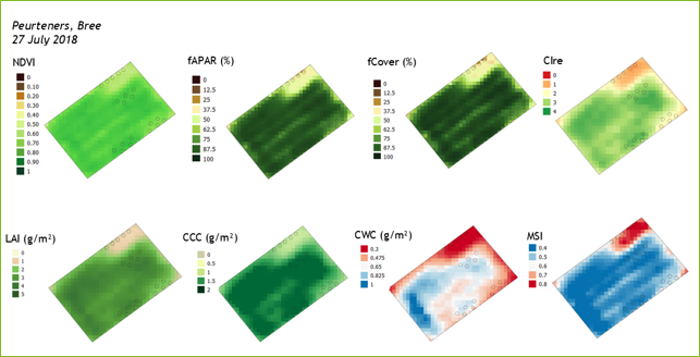
By using multispectral data from satellite (Sentinel-2) and drones (equipped with multispectral cameras), a series of vegetation indices were calculated including:
- NDVI, a popular index computed from red and NIR images, which provides information on the crop’s greenness or health
- fAPAR
- red edge NDVI (NDRE)
- green and red edge chlorophyll index (CIgreen, CIre)
- …
The red edge indices are particularly useful for early stress detection.
Some results
Positive correlations were found between soil water and nitrogen status and vegetation indices computed from both drone and satellite images. Also plot yield was positively correlated to the vegetation indices. However, all computed indices showed similar responses to water and nitrogen deficiencies, making it impossible to differentiate drought stress from nitrogen deficiency.
The POTENTIAL results confirm that remote sensing is extremely useful to detect zones with reduced growth or stressed vegetation within potato fields. Nevertheless, in able to respond correctly to this disturbed growth, in situ soil or crop observations are indispensable. Additionally, archived satellite images are also a valuable data source, for instance to reveal possible dry spots in the field. These images may tell more about the field variability than spectral images collected at the start of the growing cycle.

Correlation between (a) vegetation indices derived from the Sentinel-2 and average gravimetric soil water content and (b) the same vegetation indices and average NO3-N content in the soil at the time of observation. Significant correlations at level p<0.05 are marked. Correlation analysis was conducted over 15 plots in the Belgian potato trial field (2018) which received (in a) both organic and mineral N fertilization or (in b) the same irrigation dose.
Supporting farmers through an open online platform
Based on the results of the POTENTIAL project Soil Service of Belgium and VITO started a demonstration project to give farmers access to Sentinel satellite imagery, weather, soil and other relevant information through the WatchITgrow platform which is operational since 2017.
Variable irrigation and fertilization is new to many farmers. Soil Service of Belgium wants to encourage and support farmers to use these new technologies in order to improve water and nitrogen use efficiency. We also upgraded our irrigation and fertilization advice. By using satellite images we can now perform more representative soil sampling and offer zone specific advice instead of field specific advice.

A printscreen of an application map for variable rate Nitrogen fertilization created with WatchITgrow
Farmers can use WatchITgrow to request soil sampling and analysis and to access application maps for zone-specific irrigation and fertilization. The project is a nice example how joint expertise can lead to realistic progress in the adoption of precision farming as a tool to improve water and nitrogen use efficiency in crop production.

/background_image_blog.jpg)