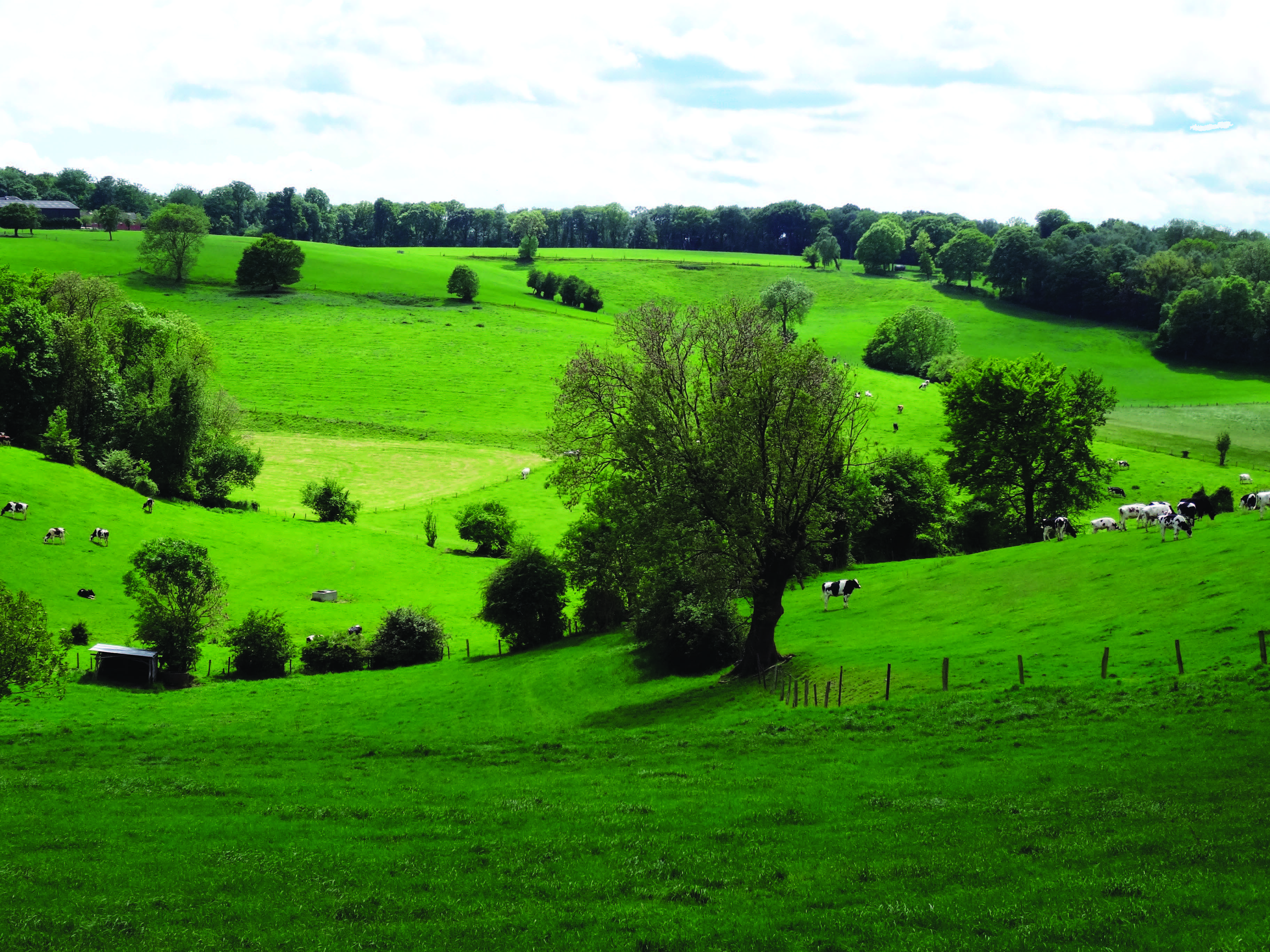
Farming is key to preserve bocage landscape
Voeren has a unique bocage or farming landscape with fields surrounded by hedgerows. The landscape elements that make Voeren attractive to thousands of visitors each year are under threat. Hedgerows, woodlots and solitary trees, are cut in favour of larger and easier to manage agricultural parcels. In addition, historical high-nature value grasslands disappear in favour of high-productive grassland or arable cultivation. With more than 70% of the total land managed by agriculture, the farming sector has a key role to play in preserving the bocage landscape.
Farmers as landscape managers
Family run dairy farms have created and maintained the landscape for centuries and farmers are eager to continue on the condition that their activities remain economically viable. Grasslands altered with woody vegetation are recognised by farmers as important land cover strategies to improve climate resilience and environmental protection against floods and erosion.Despite the increase in agri-environmental measures to maintain hedgerows, small landscape elements disappear with little incentives existing for renewal. The rapid decrease in high nature value grasslands is not confirmed by the official agricultural statistics. Reasons vary from the lack of a uniform terminology to the absence of registration and land ownership.

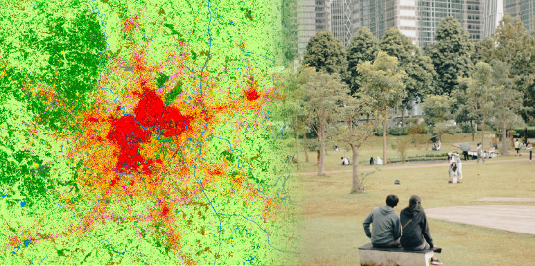
Evidence of a changing farming landscape using remote sensing (left), while agricultural statistics for Voeren do not show large fluctuations in grassland area (right).
Remote sensing and preserving landscapes
Remote Sensing can help preserve the precious landscape of Voeren. The current technology enables us to:- Evaluate landscape changes and track parcel boundaries over time
- Monitor quality and quantity to optimise grassland productivity
- Identify land suitability
New business models needed
The major question to be answered is how farmers can be supported to develop their businesses, remain compliant with environmental regulations, and manage the highly valued landscape of Voeren. Remote Sensing technology can deliver the first insights to help develop and subsequently monitor new policy and business strategies, and can pave the way to promote new business models that can support the farming community in their activities.The research was financed by the Flemish Land Agency and undertaken by the Institute for Nature and Forest (INBO), the Institute for Agriculture and Fisheries (ILVO), and the Flemish Institute for Technological Research (VITO). The reports are available upon request.

© Landscape images - Guido Sweron for Toerisme Voerstreek vzw