Satellite revolution!
In the past few years, a true revolution has taken place in the satellite business. Hundreds of Earth Observation satellites have been launched and are in orbit today, taking pictures of our planet on a daily – sometimes hourly – basis. A lot of the ESA satellite images are freely available. At the same time, prices for images taken by commercial satellite operators are also dropping.
All this results in thousands of gigabytes of easily navigated data that opens up a world of possibilities for, amongst others, agricultural applications.
Bringing space technology down to the potato fields
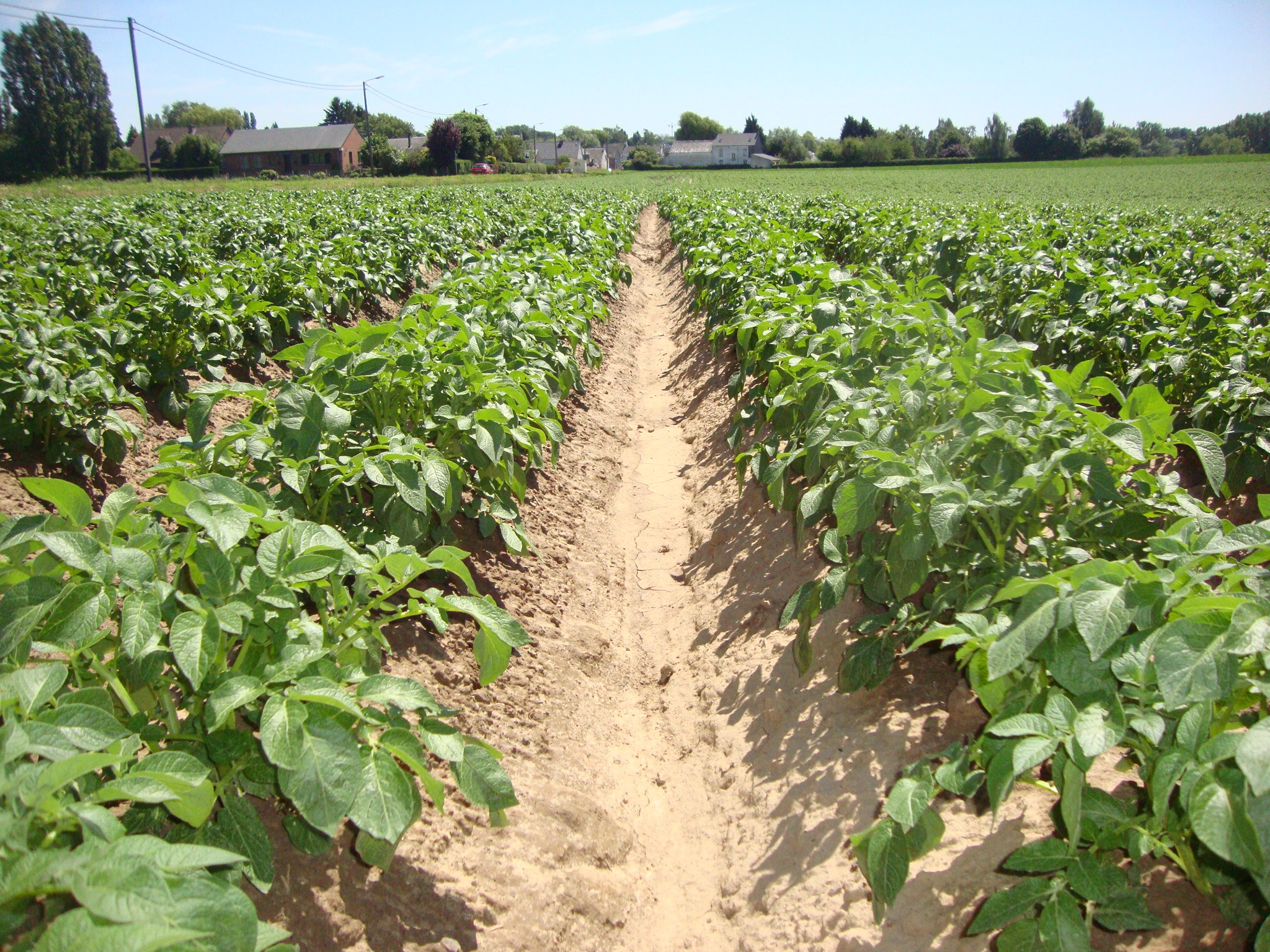
To start with, it is now possible to keep an eye on every field everywhere in the world. Information can be derived from satellite imagery. For example, it’s possible to calculate a reliable indicator of a crop’s productivity (fAPAR).
Thanks to the commonly available high resolution satellite data, you can now derive the productivity indicator for every spot in the field and even tell farmers which parts of theirs field need attention. By combining this satellite data with the weather and soil data, it is even possible to provide meaningful information throughout the season on the development and health of the potatoes in every single field.

WatchITgrow®, a platform for everyone in the potato value chain
WatchITgrow®, launched on 14 March 2017, is a platform tailor-made for the potato sector in Belgium. It allows everyone in the potato value chain to monitor every single potato field in Belgium. It is designed to be both a platform for collaboration between farmers, traders and the processing industry, and a monitoring tool aimed at stimulating further growth of potato production to help it keep up with industry demand.
As the potential arable land in Belgium is limited, growth needs to come from increases in productivity. Currently, the sector reaches an average yield of 40 tons/hectare. By allowing farmers to record all actions taken on their land and by monitoring the health of the crops, it will be possible to further increase productivity in the coming years.
Farmers now can benchmark the productivity of their fields with the production averages of neighbouring fields, fields within their provinces or even at national level. This will allow farmers to investigate why their fields or varieties are performing better or worse than other fields or varieties. Industry will get accurate information on the evolution and productivity of different potato varieties at a regional level.
Can watchITgrow® really revolutionize the sector?
In Belgium, potatoes have evolved from being a side crop to being a main crop. The processing industry is growing quickly. Innovative tools such as watchITgrow® will help the sector to further increase both quantity and quality of potatoes. It will allow farmers to make timely corrections and, in doing so, increase their yields to an average of 60 tons/hectare.
By investing in new technologies, the Belgian potato sector is convinced it can strengthen its position as a world leader.
More to come
WatchITgrow® will be further developed in close cooperation with the potato sector.
As it is an open platform, more and more data from other sources will be integrated. On our roadmap we have a list of new functionalities that will be added over time to provide farmers with tailor-made advice, such as fertilization and irrigation advice and warnings for various pests and diseases.
Stay tuned!
For more information, please visit http://www.watchitgrow.be.


/Blog%20Post%20Strip%20Cropping%20-%20Featured%20Image%201200x650%20150%20ppi.png)
/Blog_WorldCereal_1200x650.png)
/lewis-latham-0huRqQjz81A-unsplash.jpg)