About C3S
The Copernicus Climate Change Service is one of the six thematic information services provided by the European Union's Earth Observation Programme Copernicus. C3S is implemented by the European Centre for Medium-Range Weather Forecasts (ECMWF) on behalf of the European Union and it supports society by providing past, present and future Climate Data Records (CDR) and information on a range of themes, all freely accessible through the Climate Data Store.
C3S provides a suite of software tools to allow scientists and consultants to make use of quality assured and objective climate datasets to support planning and decision-making. This data is based on a sustained network of in-situ and satellite-based observations, reanalyses of Earth's climate and modelling scenarios, based on a variety of climate projections.
C3S Land Biosphere
For the C3S Land Biosphere component, VITO is leading a consortium with the ambition to generate the longest possible, consistent and mature time series products from satellite-based observations at a global scale for the following Essential Climate Variables (ECVs):
- Surface albedo has an impact on the amount of energy that Earth absorbs from the Sun and, therefore, is an important variable in climate and weather studies.
- Leaf Area Index (LAI) describes the amount of leaf material in the canopy and is a key variable in many models describing vegetation–atmosphere interactions, particularly with respect to the carbon and water cycles.
- Fraction of Absorbed Photosynthetic Active Radiation (fAPAR), indicating vegetation growth. It provides the energy required by terrestrial vegetation to produce organic materials from mineral components.
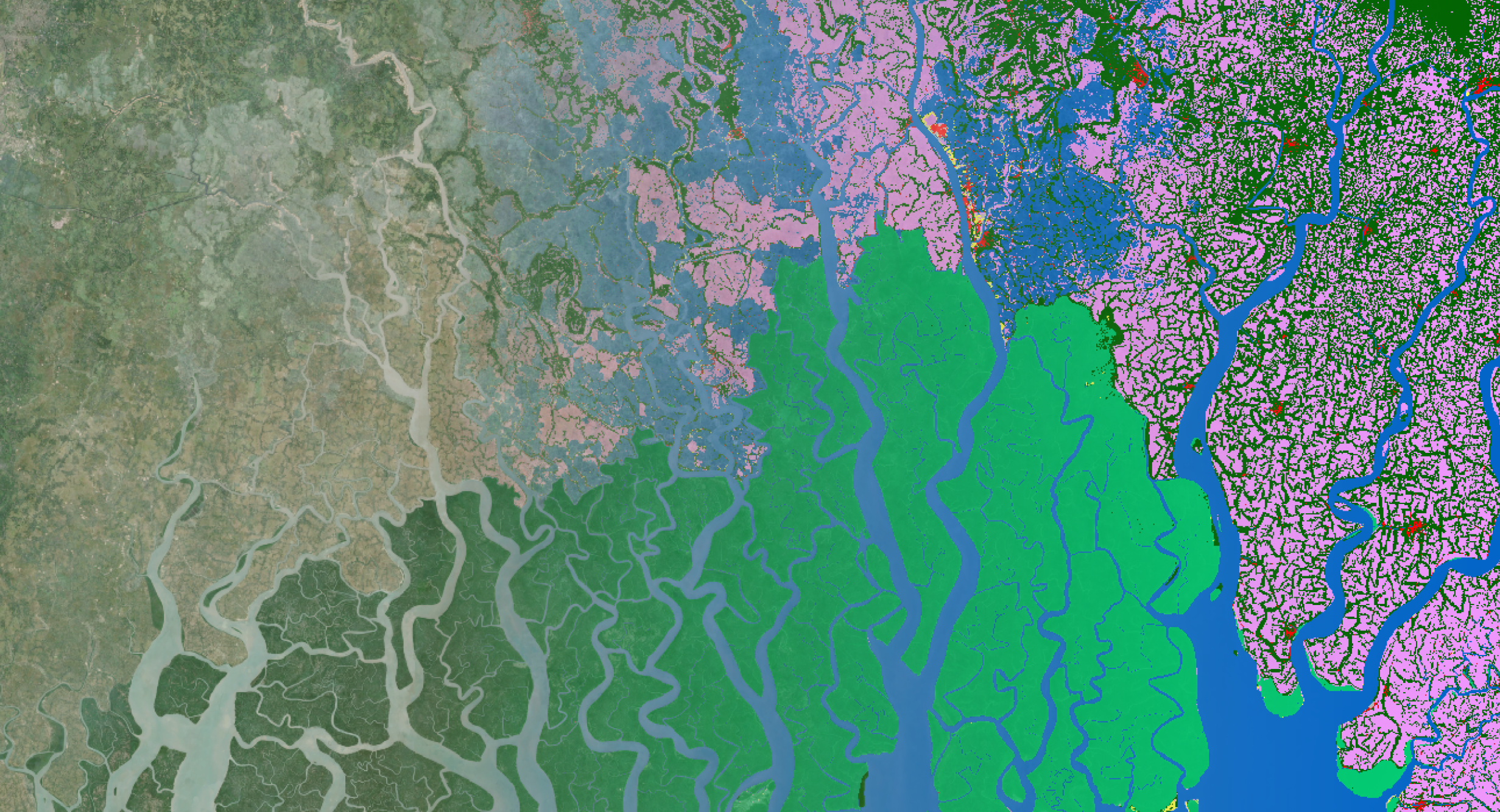
- Land Cover (LC) is the observed (bio)physical cover on Earth's surface. Land cover change as a pressing environmental issue, is acting as both a cause and a consequence of climate change. The importance of these issue requires continuous monitoring systems and data.
- Burnt Areas (BA) and Radiative Power (FRP), all dealing with heat/energy from fires which are important climate indicators.
A variety of users
The C3S Climate Data Store already has over 12.000 users in 168 countries. Whether you’re a scientist, consultant or policy maker, C3S is a free service for everyone. From all over the world, industry and experts are using the data tools and indicators to clearly define the actual situation and evolution we are faced with.
The products distributed by the C3S Land Biosphere component are typically used for climate change studies, land data assimilation modelling (LDAS), agricultural applications, and the Sectoral Information System (SIS) which provide sector-specific access to the C3S Climate Data Store.
Sectoral Information System for the Biodiversity Sector, led by our colleagues experienced in environmental modelling, already uses reanalysis climate data, seasonal forecasts and climate projections, but also aims to incorporate Leaf Area Index (LAI) data from the C3S Land Biosphere component. These data will serve to assess long-term changes in habitat quality, among others supporting conservation actions for the goldenheaded lion tamarin in Brasil.
The NDVI data underpinning the C3S LAI products have also been successfully used in the European Health service, an additional C3S contract led by VITO’s Environmental Modelling unit. In particular, NDVI maps have been employed as a basis to specify terrain characteristics in the urban climate model UrbClim to assess heat stress and other climate parameters in cities.
 |
 |
 |
 |
| 12 022 registered users |
over 168 countries |
11 072 629 data requests |
6 364 TB data delivered |
Climate Data Store numbers of 23.04.2019
Discover more about the C3S users and case studies at the official Copernicus Climate Change Service website.
A service driven by the user needs
The service will broker existing datasets and build further on capabilities and expertise gained in various European projects and services. It is entirely based upon data streams from satellite missions that are suitable for operational services and relies on data sets that are freely available and have full and unrestricted access (from Copernicus, NOAA, EUMETSAT and NASA).
Furthermore, the service also provides user support in the form of a helpdesk, tutorials and user demonstration cases also available in the Climate Data Store (CDS).
The Climate Data Record (CDR) product generation flow is based on the following approach
- secure continuation of the products using Sentinel-3 as primary data source,
- improve consistency by harmonizing the pre-processing for all CDRs
- implement operational tools to monitor the quality of the CDRs and their cross-consistency
- apply an extensive quality assessment of the delivered CDRs and benchmark with other existing datasets.
The C3S products can be accessed through the Climate Data Store. More information about the Copernicus Climate Change Service can be found at the Copernicus Climate Change Service website.


/Blog_CORSA_1200x650.png)
/lewis-latham-0huRqQjz81A-unsplash.jpg)