Combine RGB with multispectral data
The DJI Phantom 4 pro is a widely used low-cost drone. The camera underneath captures RGB images suitable for a wide variety of applications, from agriculture and infrastructure to surface water monitoring. However, the spectral information captured in the three broad spectral bands is rather limited and can hamper a full quality assessment.
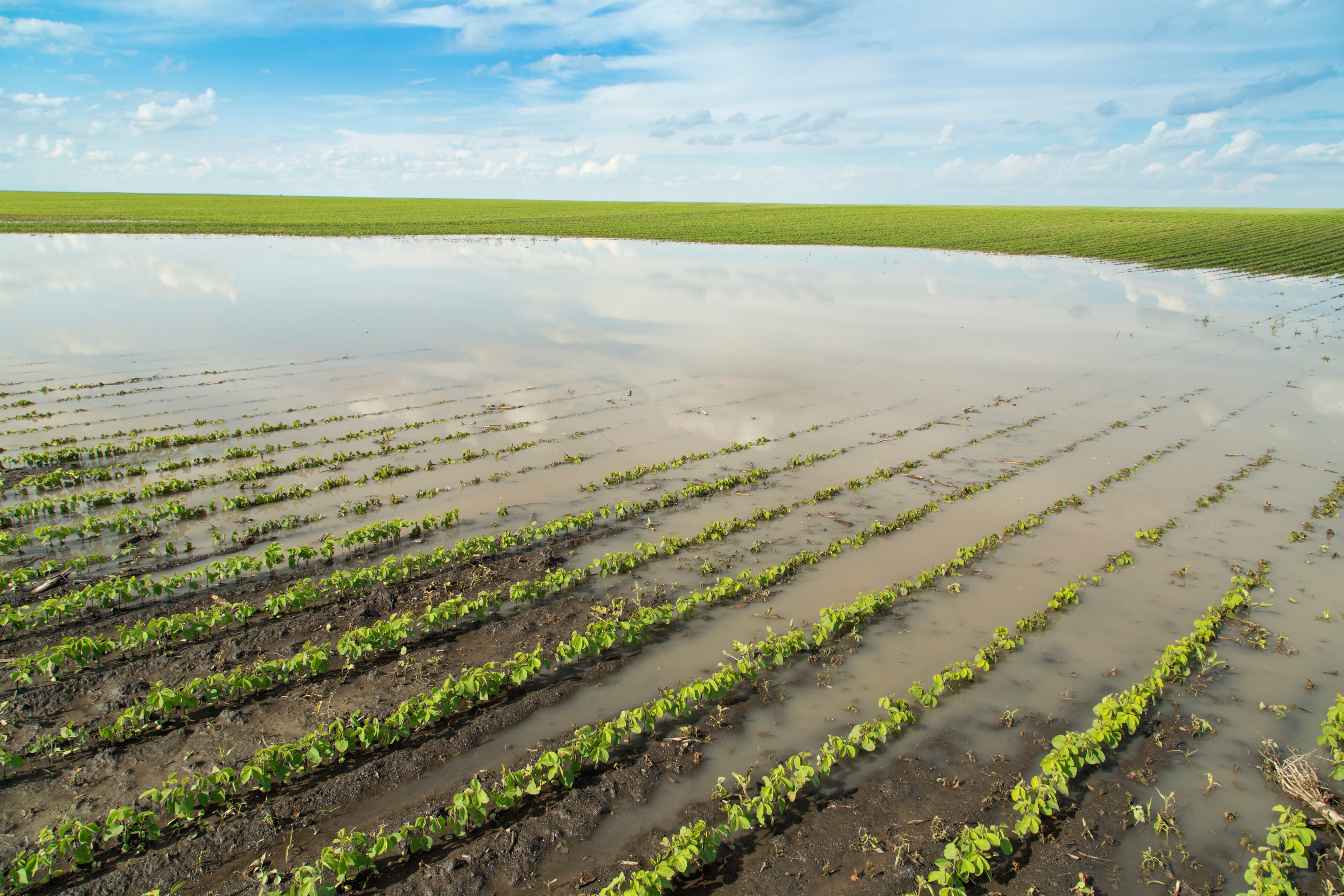
A multispectral camera is a big asset in this regards: with reflectance in visible, red-edge and near infrared light, you can observe e.g. plant diseases and stress or chlorophyll concentrations in water. We use multispectral data in many operational processing workflows. For example to detect fire blight in pear orchards from an early stage or to monitor and evaluate the growth, health and evolution of new seed varieties. In another case we even used multispectral drone data complementary to satellite data to develop water quality products.
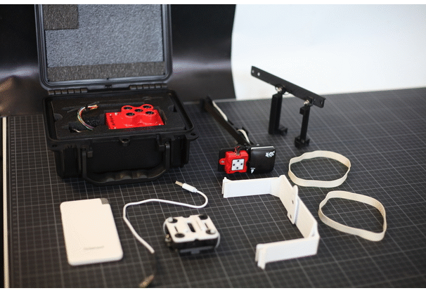
Integration of the (3D printed) parts on the DJI Phantom 4 Pro to integrate the MicaSense RedEdge-M camera.
To be able to use this low-cost drone as well as a multispectral camera, we developed an integration set. By using a couple of small 3D elements, you can easily mount a MicaSense RedEdge-M camera under a DJI Phantom 4 pro and collect multispectral data. This light-weight camera contains five narrow spectral bands, including one in the near infrared (NIR) and one in the RedEdge spectral range. Note that different drones & sensor systems can be used for a similar integration exercise.
Designed with care
The integration set has been designed to optimize platform stability as well as flight safety during operations. Our development team kept into account a number of features to increase usability during flight operations.
- Simultaneous acquisition of RGB and multispectral data
- A solid mounting solution for the camera and its metadata sensors
- A balanced setup for optimal use of the battery power
- Centre of gravity is optimized for the complete system
- Payload battery selected for its high capacity to weight ratio
- Visual monitoring of its level
- Easy exchange of batteries and SD cards between two flights
- A wired ethernet connection eliminates the need of a WiFi transceiver
Click here to download the 3D print files and get started. You have to keep in mind that the integration pushes the limits of the system. This especially towards weight, which, depending on the operation country or operation location could require additional certificates or permits.
From RAW DATA TO objective information products
The MicaSense RedEdge-M provides RGB and multispectral data in raw format. With this data you can derive quantitative information for a multitude of applications including vegetation and land use, agriculture, forest management and water monitoring. After processing the data, you are able to access information products to:
- monitor crop growth and crop health
- evaluate the greeness of vegetation and forests
- follow the quality of lakes, rivers and coastal waters
- detect diseases in vegetation, forests and agricultural crops
- distinguish different types of vegetation and search for invasive ones
- ...
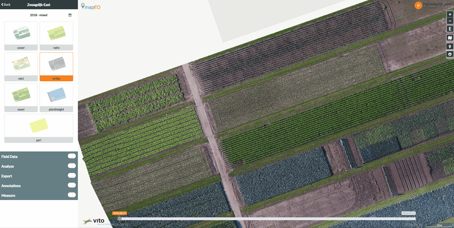
Combined use RGB and multispectral data over lettuce fields
We have developed several operational workflows for the processing of drone data. Feel free to contact us if you're interested to find out more.
MONOCLE to support global scientists
Are you triggered by new in-situ monitoring tools, drone technology or many more? Check the MONOCLE website for more information or get involved. This project has received funding from the European Union's Horizon 2020 research and innovation programme under grant agreement No 776480 (Monocle).
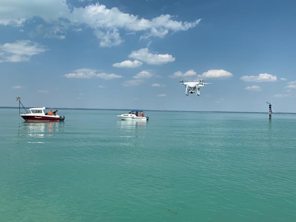
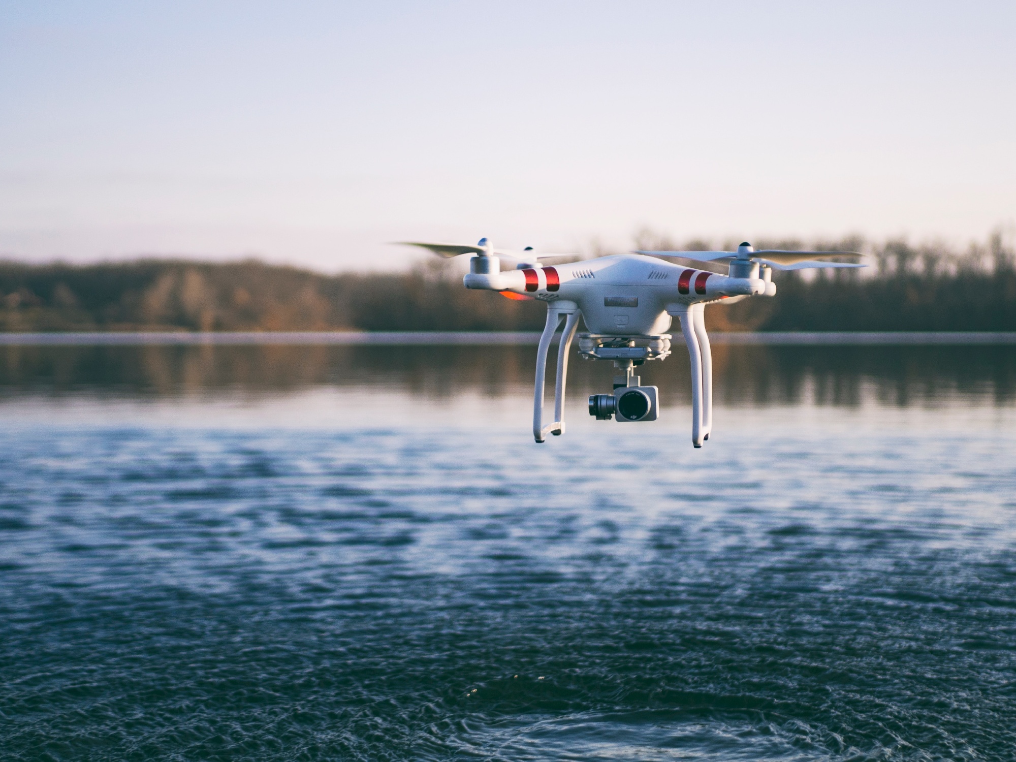
An image of one of the drone flights operated for the MONOCLE H2020 project.
The team used a DJI Phantom 4 Pro and MicaSense RedEdge-M to collect water quality data.

/Blog%20Post%20Strip%20Cropping%20-%20Featured%20Image%201200x650%20150%20ppi.png)