It’s all about integrating image analytics into daily decision making
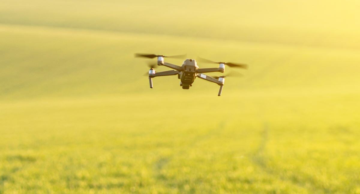
Drone uptake for regular monitoring in agriculture is limited, because drone flight endurance is short (10-20 minutes). But these short flights are just perfect for plant breeding plots. The images that are collected are so detailed that they can be used to generate current metrics automatically.
On top of that, these measurements provide unbiased and consistent information throughout the growing season
On top of that, these measurements provide unbiased and consistent information throughout the growing season
In the field of plant breeding, the drone nor the camera are the most important aspect. It’s all about the image analytics, how they relate to existing agrometrics and how well this new source of information can be integrated into your daily decision making.
MAPEO, a drone image processing tool
We’ve been collaborating intensively with plant breeders from all over the world to develop mapEO, a drone image processing service dedicated for experimental fields.
Thanks to mapEO, you can obtain agrometrics which reaches field based measurements about:
- Plant height
- Disease detection
- Plant emergence
- Bio mass
- Plant cover
- …
Keeping the massive amounts of data useable
.png?width=1024&name=Blog_MAPEO(2).png) Keeping the massive amounts of data useable
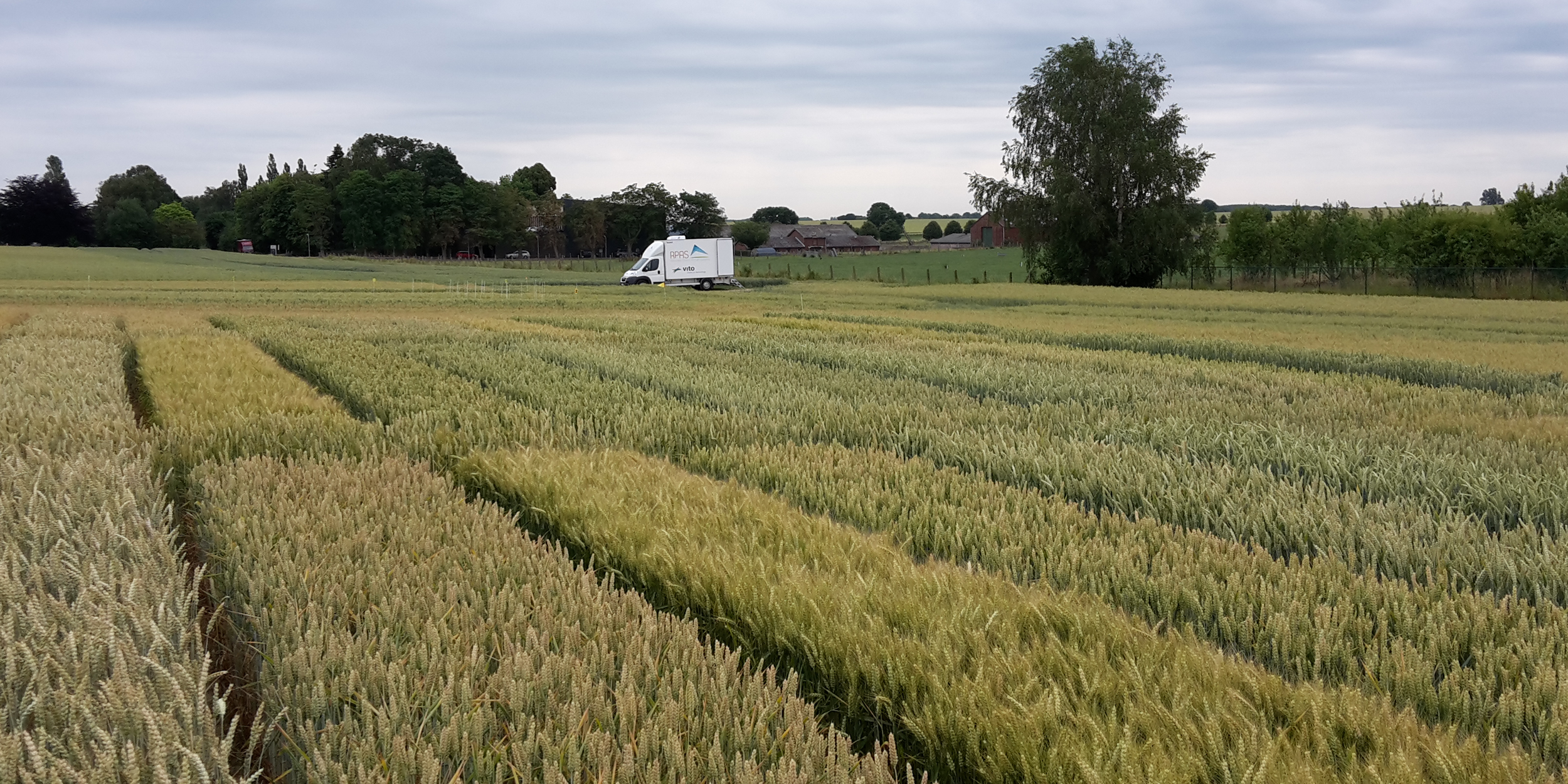
Keeping the massive amounts of data useableAlthough field sizes are rather limited, the resulting data is not. Counting emerging spinach plants for example requires a milimeter pixel resolution, which for a complete field can end up to 10 GB of data.
In order to process, access and use all this data correct and easy, you require specific infrastructure.
In order to process, access and use all this data correct and easy, you require specific infrastructure.
mapEO helps you as a plant breeders fully adopt and integrate drone technology and image processing techniques into your daily live.
You are able to:
-
derive agrometric statistics over a vegetation cycle
-
analyse synergies with experiments all over the world
-
derive standards which make current drone flights still valuable in 5 years time