All posts for
dredging

Safeguarding the access to the Port of Antwerp using GIS
  • Remote Sensing,
  • dredging,
  • GIS,
  • Port of Antwerp

Safeguarding the access to the Port of Antwerp using GIS

By Bart Deronde 17.02.2020

The Port of Antwerp is a major economic player in Belgium housing ca 900 companies, among which the biggest and most diverse chemical cluster in Europe...

Read more
Drones and dredging! Is there a match?
  • drones,
  • dredging,
  • Jan De Nul,
  • MONOCLE,
  • water quality monitoring

Drones and dredging! Is there a match?

By Liesbeth De Keukelaere 26.02.2019

In remote sensing, drone data has become more and more popular over the years. For agriculture monitoring or disaster management but drone data can also..

Read more
Sentinel-2 to support dredging activities
  • Water & coast,
  • dredging,
  • Sentinel,
  • Terrascope

Sentinel-2 to support dredging activities

By Robrecht Moelans 09.10.2018

The goal of the European Commission Copernicus program is to offer free and open data about our environment. For example, Sentinel-2 covers our entire..

Read more
Remote Sensing for Water & Coast
  • Water & coast,
  • Biodiversity,
  • dredging,
  • EO Data

Remote Sensing for Water & Coast

By Liesbeth De Keukelaere 27.04.2017

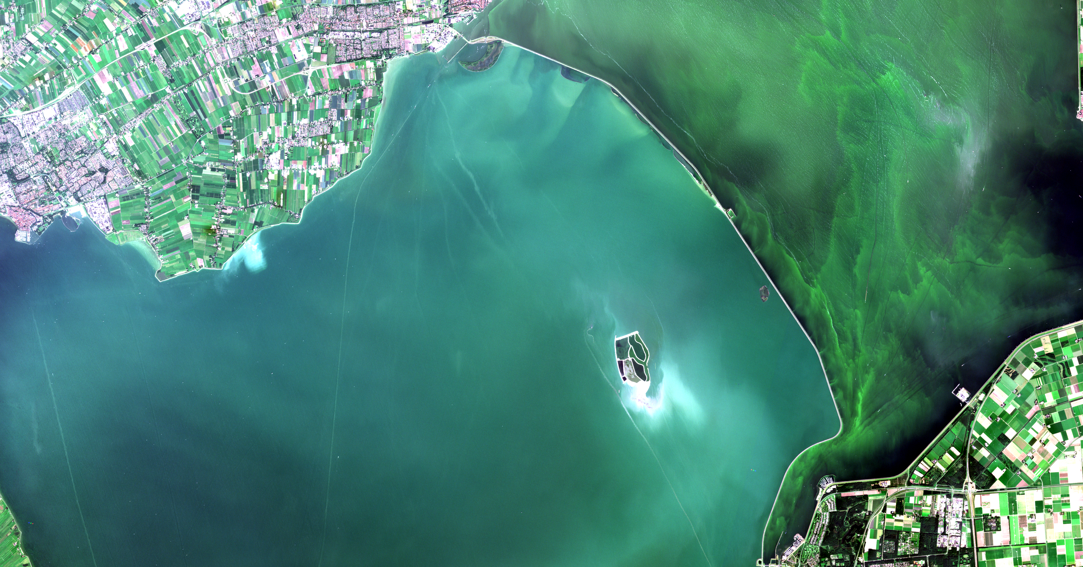
With more than 70 % of our Earth covered by water and nearly half of our global population living near the coast, the importance of water on Earth cannot..

Read more
Drones to monitor water quality
  • Water & coast,
  • drones,
  • dredging,
  • sediment concentration

Drones to monitor water quality

By Dries Raymaekers 06.04.2017

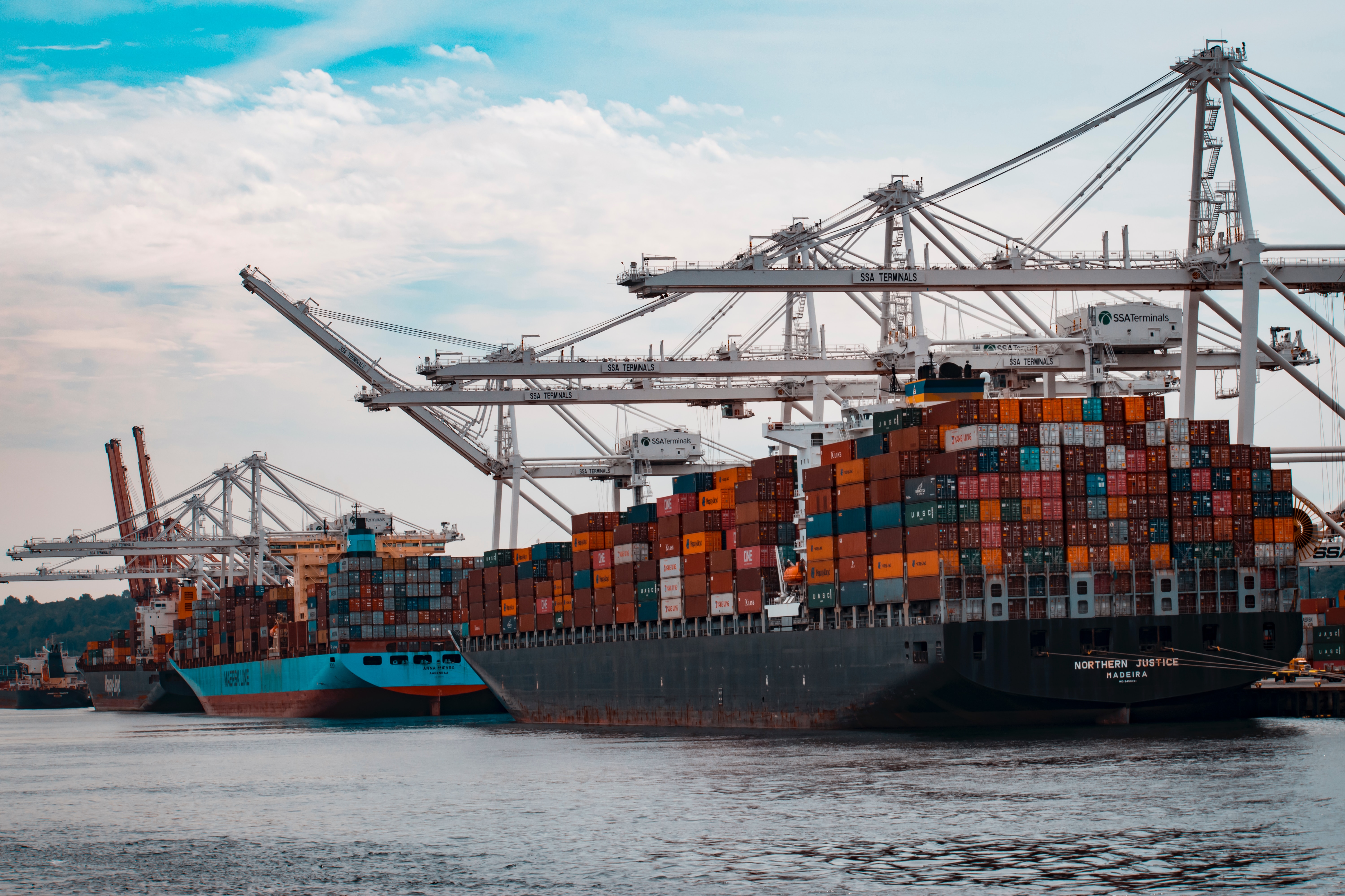
The International Maritime Organization predicts a significant increase in the transport of cargo and goods by sea over the coming decades. Due to this,..

Read more