All posts for
satellite

Leveraging satellite data and AI for environmental policy support
  • Remote Sensing,
  • Satellite,
  • deep learning,
  • AI,
  • water quality monitoring,
  • Flanders

Leveraging satellite data and AI for environmental policy support

By Lisa Landuyt 22.10.2024

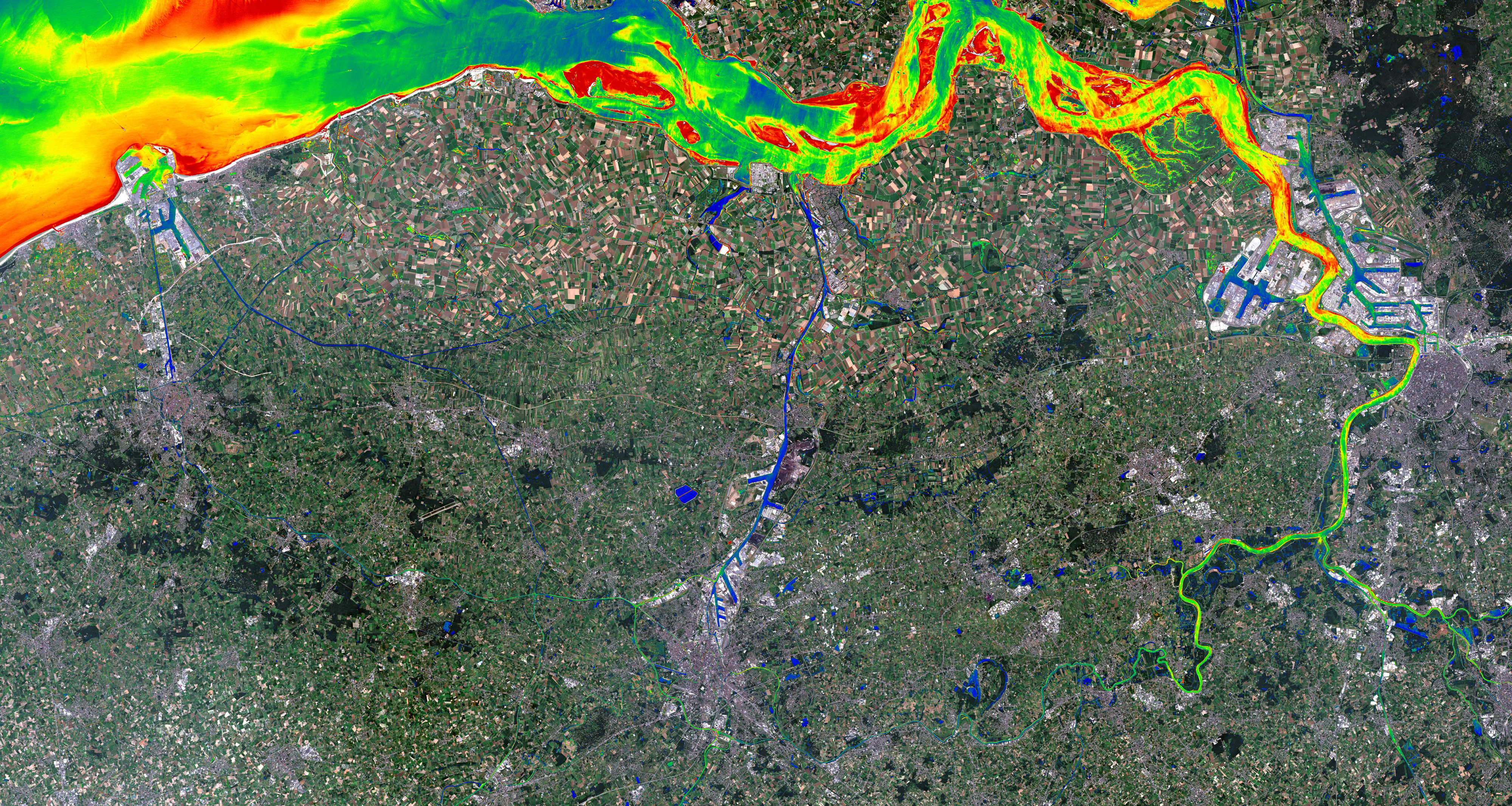
The Copernicus Sentinel satellites monitor the Earth’s surface with high spatial and temporal resolution. The images are openly available, but translating..

Read more
How to improve flood response with EO data?
  • Satellite,
  • drones,
  • flood monitoring,
  • data fusion,
  • flows,
  • emergency response

How to improve flood response with EO data?

By Lisa Landuyt 24.06.2024

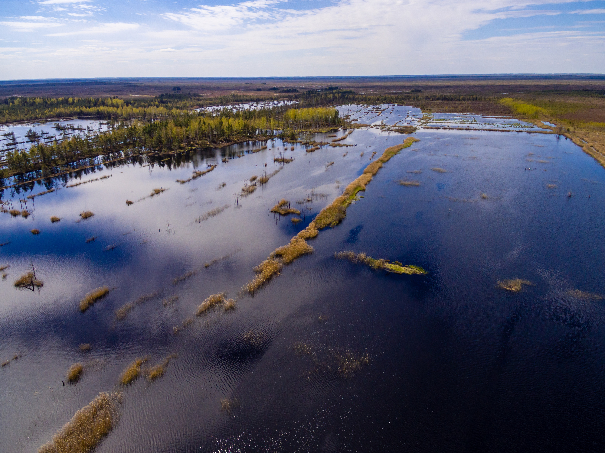
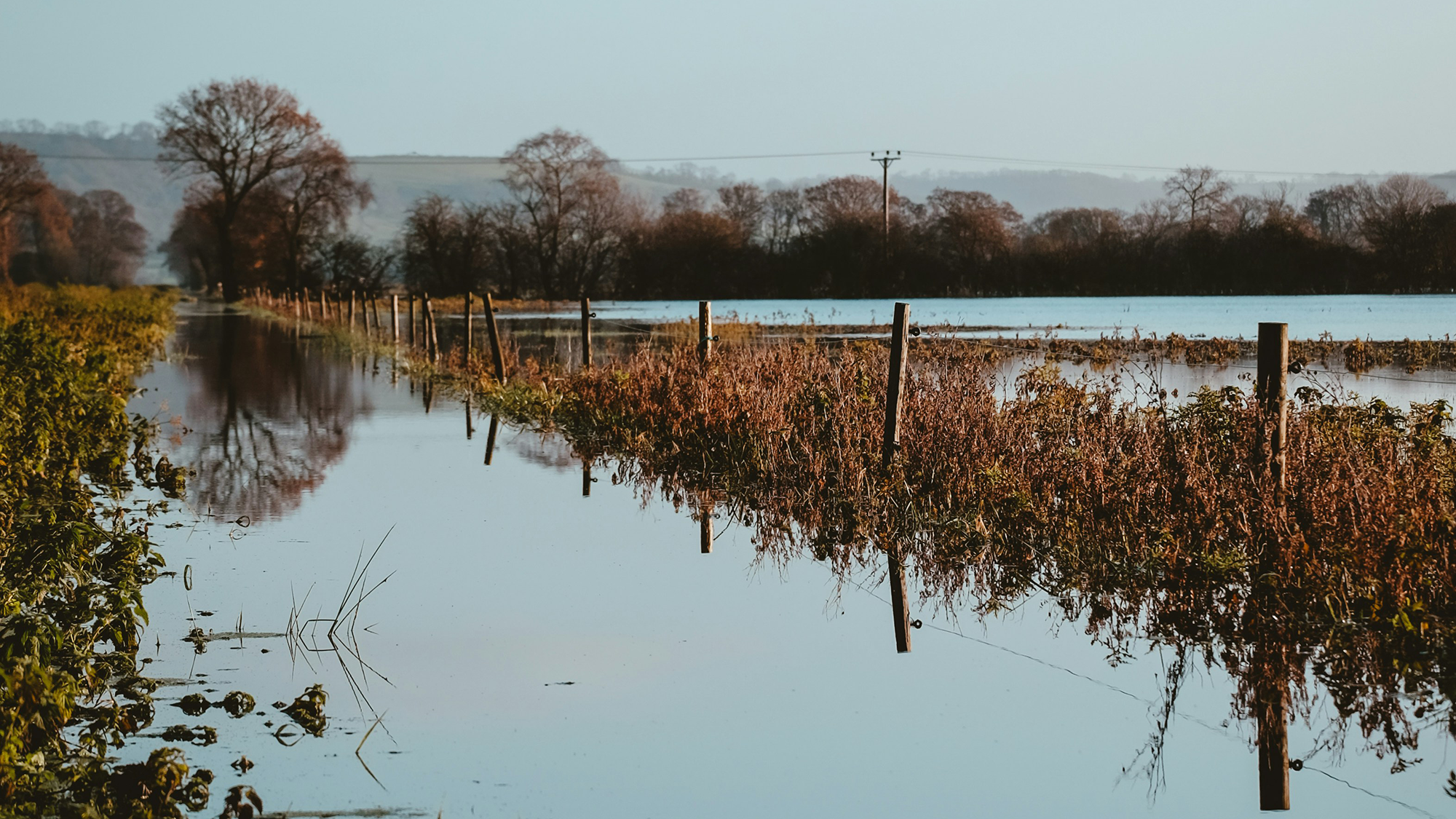
Floods! Unfortunately, they are happening all over the world and occurring more often and more intensely due to climate change. There is an urgent need..

Read more
Clicks, not weeks: sustainable waterway management with satellite data
  • Satellite,
  • Water & coast

Clicks, not weeks: sustainable waterway management with satellite data

By Els Knaeps 22.02.2017
Often, the solution to a certain problem can be found right under your nose. When that solution is soaring high above your head, however, you might need a..
Read more