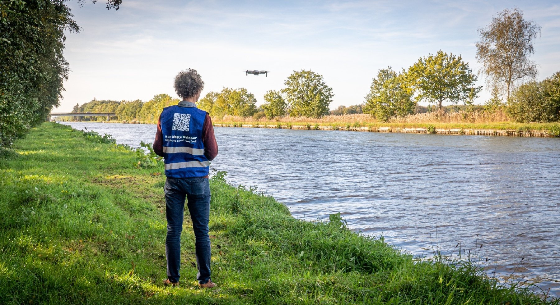
Monitor turbidity and sediment concentration directly from the drone
Traditional water sampling techniques consist of dedicated field survey campaigns with turbidity meters and water sampling to provide measurements of turbidity and suspended sediment concentration. These techniques complement fixed buoy systems and sediment transport models which measure and predict the flow of sediment during dredging operations. The problem with these traditional sampling techniques however, is that they only cover one specific spot at the time, while a dredging plume can extend up to a few kilometers and constantly change over time due to currents and tidal effects. With the new drone based system we can monitor larger areas and measure sediment concentrations directly from the drone.
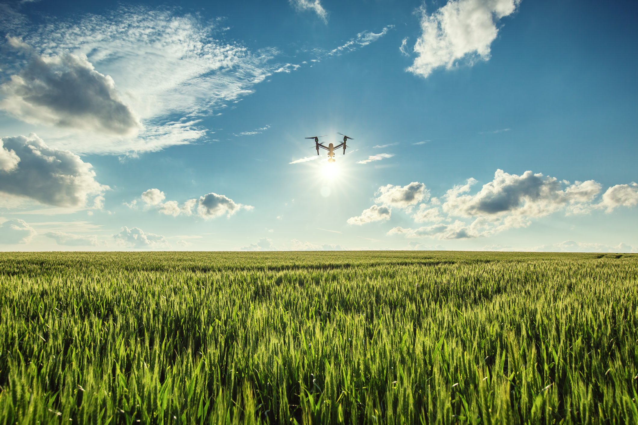
Capture an area equal to two soccer fields in just an instant
Since 2015 we have carried out more than 25 drone missions, providing more than 12.000 pictures and 75 water samples of the Belgian coast (mainly Zeebrugge) and the Scheldt River (Antwerp and Breskens). These valuable datasets have made it possible to develop and test a new system with an automated processing chain to calculate the sediment concentration in the water and geolocate the images at the correct position. A drone flying at 120m altitude measures the water quality for an area equal to two soccer fields in one shot. With a drone we have the flexibility to move up and down a dredging operation to map the complete dredging plume of around 50ha, but we can also stay in position to monitor the dynamics of a water system in close detail.
SDI for secure archiving and easy access
Once the sediment concentration maps have been created, they are stored in a so-called Spatial Database Infrastructure. This SDI allows for secure archival of data and provides access to the information through web interfaces, like IMDC’s webtool Synapps. Thanks to the collaboration with dredging consultants like IMDC, and the integration of in-situ measurements, buoy systems, weather and tidal information, sediment modelling, etc., drone based water quality monitoring will have a great future in providing reliable information on water quality during dredging works.